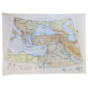
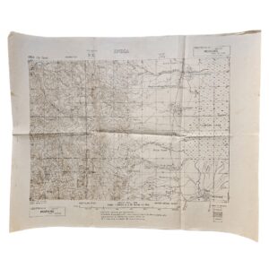
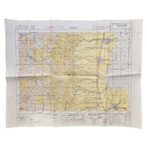
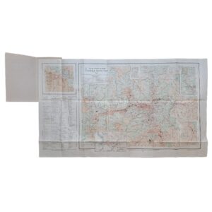
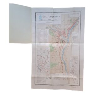
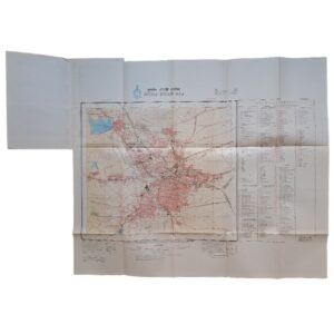
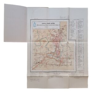
Makran – Iran & Pakistan – British/US Military Map – Series 1301 NG-41 – 1962
Description:
A scarce large-format Cold War military topographical map of the Makran region of south-eastern Iran and western Pakistan, extending across the Iranian province of Sistan and Baluchestan and Pakistani Baluchistan to the Arabian Sea. The sheet is NG-41, Makran, from AMS Series 1301 / GSGS 4646, Edition 7-AMS, at the scale of 1:1,000,000.
The present edition was printed in Britain in June 1962. British Library records identify this exact issue as Sheet NG-41 Makran, AMS 1301 (GSGS 4646), Edition 7-AMS, copied in 1954 from the Asia 1:1,000,000 HIND Sheet NG-41 of 1945. The map itself confirms this compilation history, stating that it was copied by the Army Map Service in 1954 from the 1945 HIND sheet, with gradient tints, isogonic data and air information subsequently added.
The map covers one of the most geographically distinctive and historically important frontier regions of the Middle East and South Asia. The Iran–Pakistan boundary is prominently shown in red as it descends southwards through the mountainous interior towards the Makran coast. To the west lie Iranian Baluchistan and the approaches towards Chabahar; eastwards the sheet covers large areas of Pakistani Baluchistan, including Turbat, Panjgur and the hinterland of Gwadar, while the southern margin extends across the Arabian Sea and Gulf of Oman approaches. The rugged Makran ranges, river systems, seasonal watercourses, settlements, tracks and routes through the interior are mapped in considerable detail.
Of particular interest is the map’s depiction of the Iran–Pakistan frontier, descended from the nineteenth-century boundary settlement commonly associated with the Goldsmid Line. The sheet records this politically sensitive border only fifteen years after the creation of Pakistan in 1947, at a period when both Pakistan and Iran occupied important positions in Western Cold War strategy.
The cartography combines detailed landform representation with military and aeronautical information. Relief is shown through contours, spot heights and gradient tints, while roads, tracks, communications, settlements, watercourses and administrative boundaries are carefully differentiated. The coastal waters include depth contours and maritime information. An altitude scale, adjoining-sheet diagram, relative-reliability diagram and extensive bilingual-style reference information appear in the margins.
The history of the sheet is particularly interesting. The University of Texas Perry-Castañeda Map Collection preserves and digitises an earlier NG-41 Makran, Series 1301, Second Middle East Edition-AMS 3 of 1944, demonstrating the continuing military importance of the region through the Second World War and into the Cold War. The British Library holds no fewer than five examples of the precise 1962 Edition 7-AMS, firmly establishing its institutional identity and publication history.
Searches of institutional and commercial resources locate digital or institutional examples of Makran mapping, including earlier and later editions, but we have not located a readily available original example of this exact 1962 Edition 7-AMS in current ordinary commerce. A later Survey of Pakistan Makran sheet of 1965 is separately documented, illustrating the continued cartographic revision of this strategically important region. The present 1962 military issue is consequently best described as scarce in commerce, rather than rare institutionally.
Condition
Very good. Original horizontal and vertical fold lines with light general handling and minor creasing. A small marginal nick is visible towards the upper edge. The sheet remains complete, clean and exceptionally legible, with the blue, red and black printing retaining strong definition. Please refer to the accompanying photographs for further detail.
Maker
Army Map Service, Corps of Engineers, United States Army. Produced within the AMS Series 1301 / GSGS 4646 international military mapping programme.
Series: AMS 1301 / GSGS 4646
Sheet: NG-41 – Makran
Edition: Edition 7-AMS
Date: 1962
Compilation: Copied by AMS in 1954 from HIND Sheet NG-41 of 1945; printed in the United Kingdom, June 1962
Scale: 1:1,000,000
Sheet Size: Approximately 64.3 × 74.4 cm
Area Shown: Makran; south-eastern Iran; Sistan and Baluchestan; western Pakistan; Baluchistan; Iran–Pakistan frontier; Arabian Sea and Gulf of Oman approaches
Location: Tube C: Middle East
Historical Context and Rarity
The significance of the sheet lies in the combination of its frontier subject, Cold War date and military provenance. Makran occupies the transitional zone between the Iranian plateau, Afghanistan, the Indian subcontinent and the Arabian Sea. It has historically been difficult terrain to survey and govern, giving accurate topographical mapping particular strategic importance.
The map also documents the Iran–Pakistan frontier during the first decades of Pakistan’s existence. Its 1962 printing places it firmly within the era of British and American military interest in Iran and Pakistan as strategically important states bordering the Soviet sphere and controlling approaches to the Persian Gulf and Indian Ocean.
Institutional holdings confirm the exact edition, while the University of Texas collections demonstrate a sequence of earlier military Makran mapping. The lack of obvious availability of the precise 1962 edition in current commerce supports a description of the sheet as commercially scarce, although the five British Library copies show that it should not be described as institutionally rare.
SHOP WITH CONFIDENCE AT HORNSEYS
At Hornseys, we are dedicated to offering items that uphold the highest standards of quality and authenticity. Our collection of artwork is carefully curated to ensure that each item we offer is authentic, collated, and complete.
Here’s what sets us apart:
- Authenticity and Provenance: Each map is researched and verified for authenticity.
- Expert Curation: We wholly own all our artworks. We trust our taste and have invested heavily in it. We have confidence in all artwork that we offer for sale.
- Customer Satisfaction: We strive to provide an exceptional customer experience, from detailed descriptions and provenance to secure and prompt delivery of your purchase.
- Returns Policy: We offer an unconditional guarantee on every item. If, however, you wish to make a return, artworks may be sent back to us within fourteen days of receipt for whatever reason. We request that we are notified in advance if you wish to do so. They must be returned to us in the same condition as they were sent for a full refund.
OUR COMMITMENT TO QUALITY AND SERVICE
Understanding the value and rarity of these items, we ensure that every aspect of your purchase meets the highest standards of quality and service. This includes:
- Free Expedited, Tracked, and Insured Delivery within the UK: Ensuring that your artwork arrives safely and promptly.
- Fully-Insured Worldwide Delivery: Offering peace of mind for international collectors with reliable and secure shipping options.
EXPLORE OUR COLLECTION
Visit Hornseys today to explore our fine collection of maps and other artworks. Whether you are an avid collector or looking for a special gift, our selection offers something truly unique. Located since 1976 in Ripon in the picturesque Yorkshire Dales, we are recognized as a destination gallery for tastefully curated artwork, rare maps, design, and fine books.