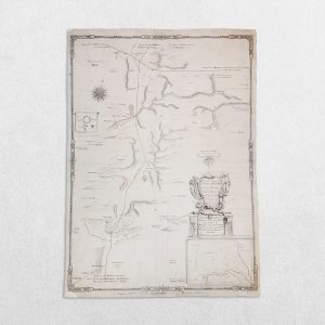
Northumberland: A Correct Map Of Northumberland
Osborne, Thomas
£25.00
Availability: In stock
SKU
UKCMN002
Category United Kingdom County Maps
Product Description
Date: 1748. Original copper engraving. Sheet size: 19.9cm x 16.8cm. Blank to the reverse. Later but not modern outline hand-colouring. Age toning and wear which is mainly confined to the margins and the bottom corners. A good, clean copy.
Related products
-
SCOTIA REGNUM CUM INSULIS ADJACENTIBUS ROBERTUS GORDONIUS A STRALOCH DESCRIPSIT – ORIGINAL COPPER ENGRAVED MAP PUBLISHED BY JOAN BLAEU
£650.00Blaeu, Joan & Gordon, Robert
-
Yorkshire: An Accurate Survey Of Some Stupendous Remains Of Roman Antiquity On The Wolds In Yorkshire
£195.00Haynes, John & Vertue, George