-

-

-
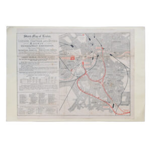
Sketch Map Of London Shewing The Position Of The London Chatham And Dover Railway Victoria (West-End) Station
£495.00The London Chatham And Dover Railway
-
-
-

-

-

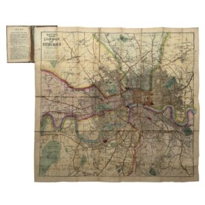
The Handy Series Of Pocket Maps – London And Four And Half Miles Round Charing Cross
£300.00George Philip & Son
-

-

-

-

-

-
-
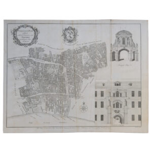
London – Farringdon Ward Without With Its Division Into Parishes According to A New Survey – 1755
£95.00Cole, Benjamin & Mailtand, William
-

-
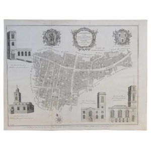
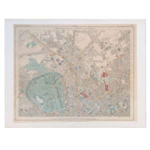
London – Langborn Ward And Candlewick Ward With Their Divisions Into Parishes According To A New Survey – 1755
£70.00Cole, Benjamin & Mailtand, William