-

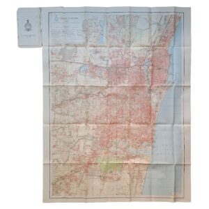
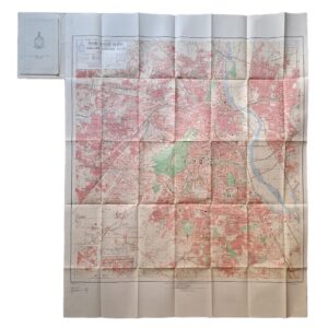
Karachi Guide Map – Season 1926-7 – Published Under The Direction Of Brigadier R H Thomas – Surveyor General Of India 1929
£1,750.00Thomas, Brigadier R. H.
-

-

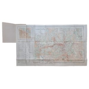
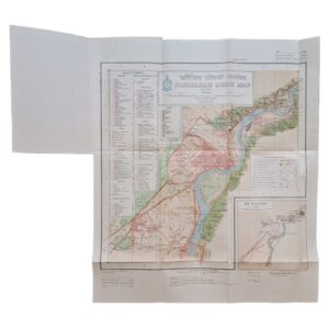
Peshawar Guide Map – Pakistan – Published Under The Direction Of Brigadier H J Couchman – Surveyor General Of India 1935
£950.00Couchman, Brigadier H. J.
-

-
-

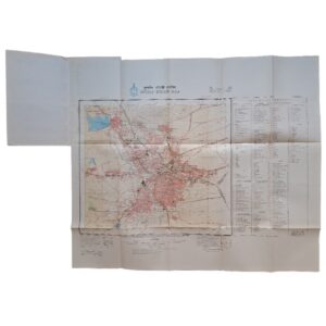
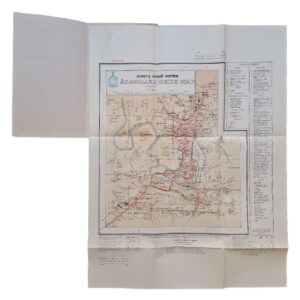
Jaipur Guide Map – 1971 – Published Under The Direction Of Brigadier J. S. Paintal – Surveyor General Of India
£500.00Paintal, Brigadier J. S.
-

-

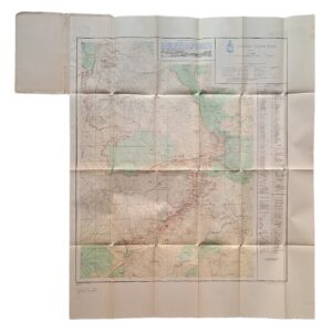
INDIA AND ADJACENT COUNTRIES – OOTACAMUND – PUBLISHED UNDER THE DIRECTION OF COLONEL C H D RYDER SURVEYOR GENERAL OF INDIA 1922
£500.00Ryder, Colonel C. H. D.
-

-

-

-

MAP OF THE MADRAS PRESIDENCY SHOWING ROADS AND DISTANCES – 1929
£400.00Central Survey Office, Madras
-

-

-

-

-

-

Map Of Northern India By Edward Stanford – Copy Of Alan Sillitoe
£375.00Edward Stanford (Sillitoe, Alan)
-
-
-

-
-

-
-
-
-

-

Delhi Guide Map – 1969 – Published Under The Direction Of Brigadier Jamshed Dalal – Surveyor General Of India
£175.00Dalal, Brigadier Jamshed
-

-
-
-
