HUBLI GUIDE MAP – Survey of India – First Edition – 1977
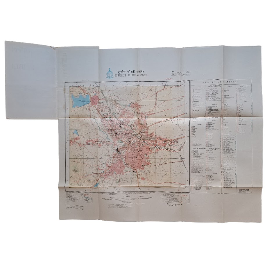
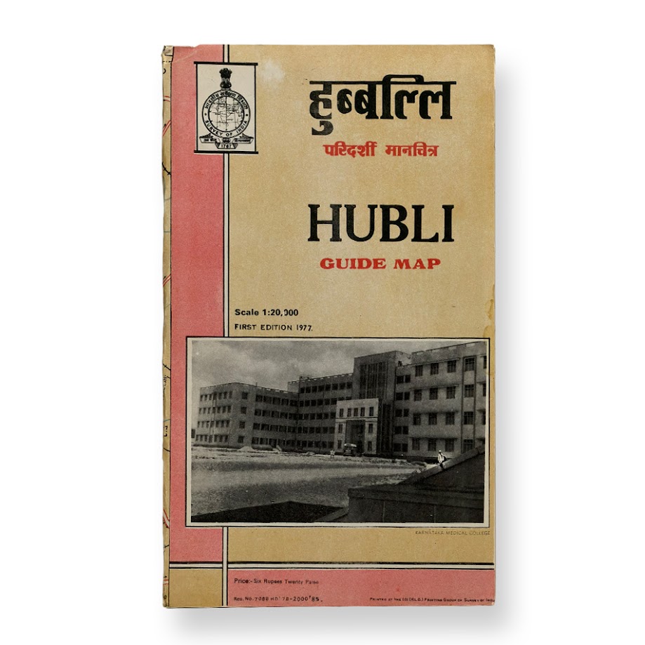
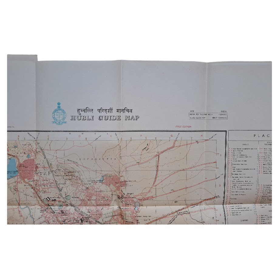
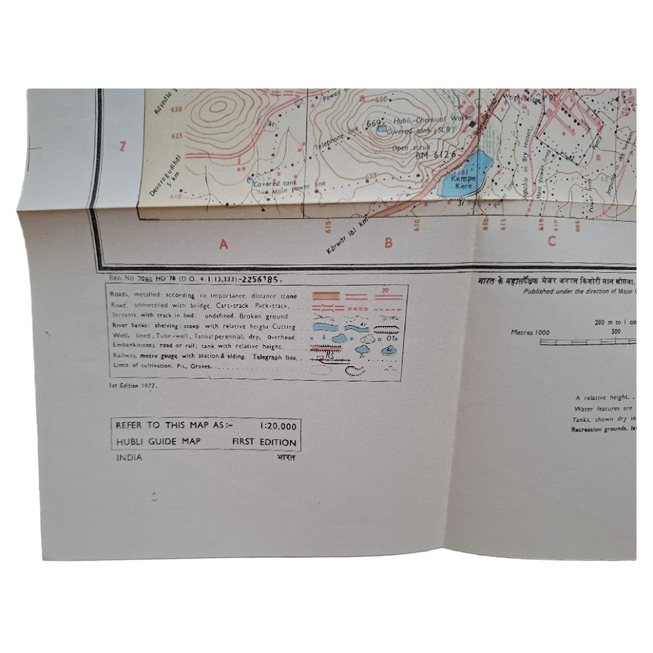
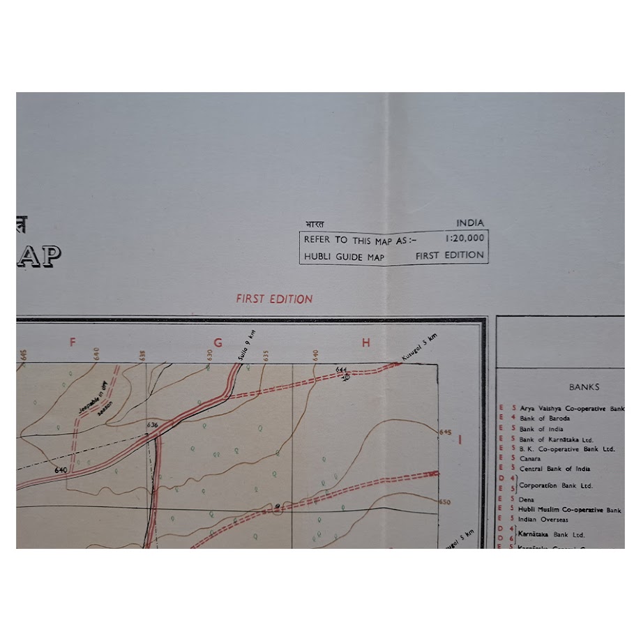
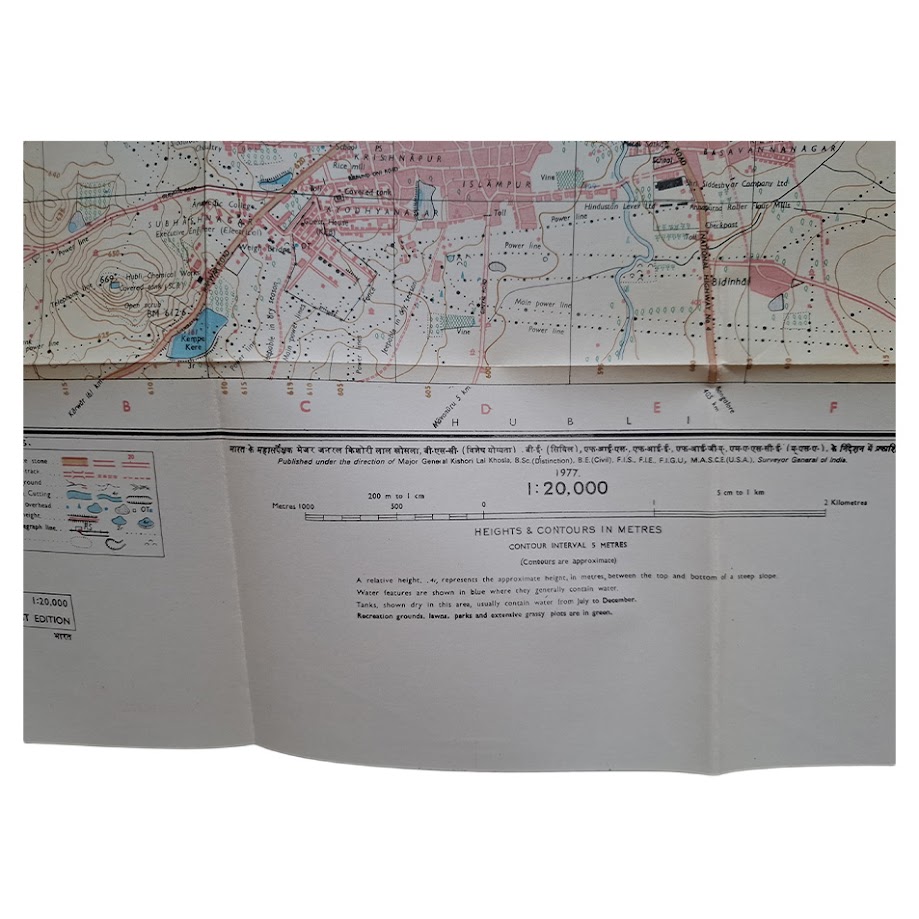
Large official Survey of India folding guide map of Hubli, issued at a scale of 1:20,000. First edition, 1977, surveyed 1974–75. Sheet size approximately 68.8 x 58.8 cm.
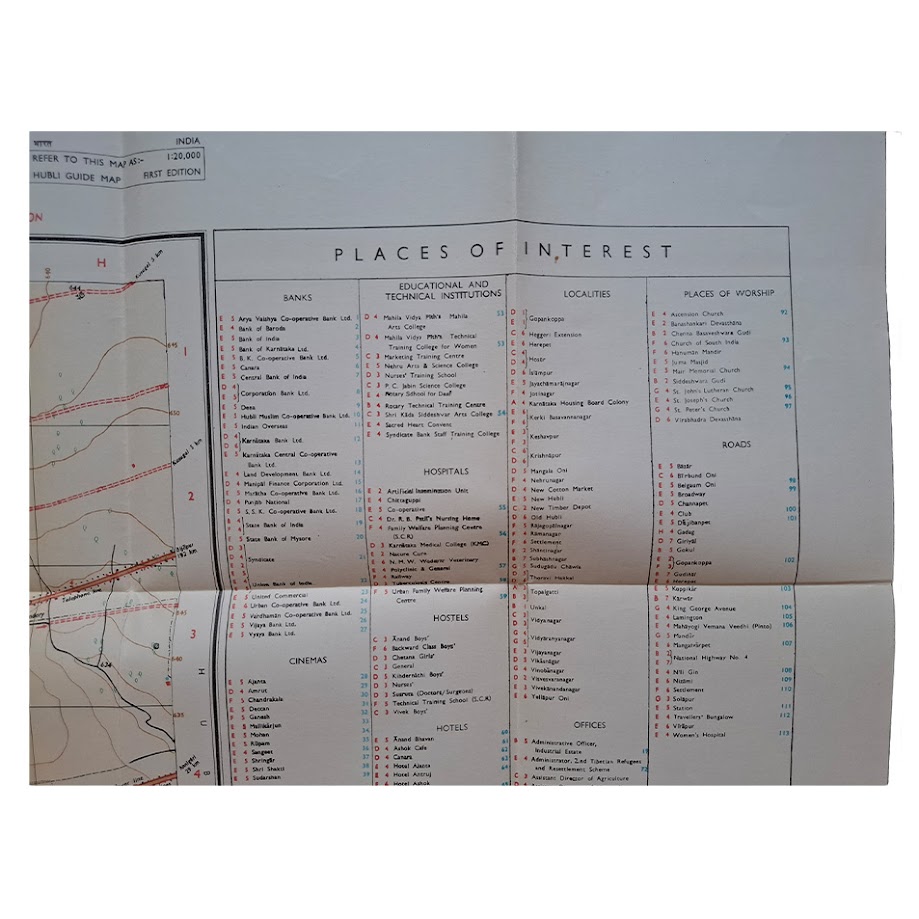
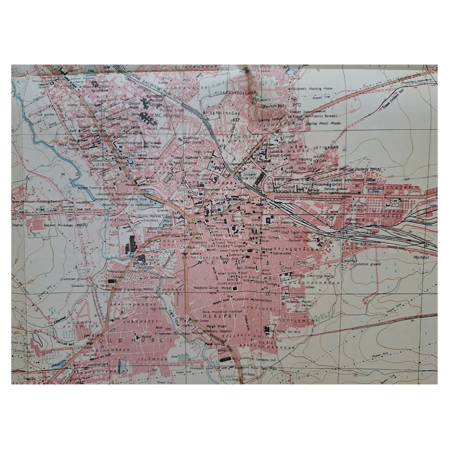
A detailed official urban map of Hubli produced during the post-Independence period, recording the city prior to the major late twentieth-century expansion of the Hubli–Dharwad metropolitan region as one of the principal commercial and transport centres of Karnataka. The map shows roads, railways, public buildings, educational institutions, hospitals, banks, industrial sites, offices, places of worship and other places of interest.
The map records the dense railway infrastructure and junction yards that established Hubli as a major South Indian rail and commercial centre. Numerous districts and suburbs are identified, including Old Hubli, Navanagar, Basaveshwar Nagar, Keshwapur and Dharwad Road areas, together with lakes, tanks, contour features and surrounding uplands. A substantial printed index lists banks, technical institutions, hospitals, hotels, offices, roads and religious sites.
Produced under the direction of Surveyor General Kishori Lal Khosla and printed by the Survey of India Printing Group, the map provides a detailed record of Hubli during an important period of industrial and infrastructural development in Karnataka.
Condition: Folding map complete, with expected fold lines, light creasing and minor handling wear. Some light age toning and a few small marginal marks. Overall near fine.
Not unrecorded: institutional holdings of Survey of India guide maps include Hubli examples and related Karnataka city guide maps of the period. Scarce in commerce, particularly in complete original folding form.
A substantial official Survey of India city map of Hubli, of interest for Indian cartography, Karnataka regional history, railway geography and post-Independence urban development.
SHOP WITH CONFIDENCE AT HORNSEYS
At Hornseys, we are dedicated to offering items that uphold the highest standards of quality and authenticity. Our collection of artwork is carefully curated to ensure that each item we offer is authentic, collated, and complete.
Here’s what sets us apart:
- Authenticity and Provenance: Each map is researched and verified for authenticity.
- Expert Curation: We wholly own all our artworks. We trust our taste and have invested heavily in it. We have confidence in all artwork that we offer for sale.
- Customer Satisfaction: We strive to provide an exceptional customer experience, from detailed descriptions and provenance to secure and prompt delivery of your purchase.
- Returns Policy: We offer an unconditional guarantee on every item. If, however, you wish to make a return, artworks may be sent back to us within fourteen days of receipt for whatever reason. We request that we are notified in advance if you wish to do so. They must be returned to us in the same condition as they were sent for a full refund.
OUR COMMITMENT TO QUALITY AND SERVICE
Understanding the value and rarity of these items, we ensure that every aspect of your purchase meets the highest standards of quality and service. This includes:
- Free Expedited, Tracked, and Insured Delivery within the UK: Ensuring that your artwork arrives safely and promptly.
- Fully-Insured Worldwide Delivery: Offering peace of mind for international collectors with reliable and secure shipping options.
EXPLORE OUR COLLECTION
Visit Hornseys today to explore our fine collection of maps and other artworks. Whether you are an avid collector or looking for a special gift, our selection offers something truly unique. Located since 1976 in Ripon in the picturesque Yorkshire Dales, we are recognized as a destination gallery for tastefully curated artwork, rare maps, design, and fine books.