MADRAS GUIDE MAP – Survey of India – First Edition – 1970
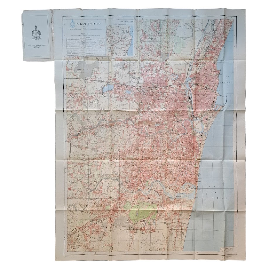
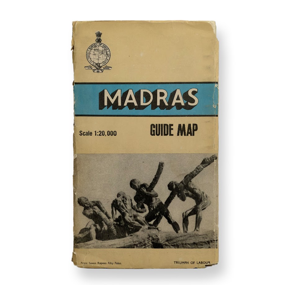
Large separately-issued folding colour-printed map on thin paper, scale 1:20,000, overall sheet size approximately 90.8 × 118.2 cm, folding into original printed paper wrappers. Detailed topographical and urban plan of Madras (now Chennai), extending from the Bay of Bengal waterfront and harbour installations westwards across the metropolitan area, including Fort St George, George Town, Mylapore, Egmore, Guindy, Adyar, Saidapet and extensive suburban districts. Inset map at left: “Madras Neighbourhood”. Printed key and conventional signs panel. Survey of India emblem and publication panel printed within image. Marginal references include: “Surveyed 1964–67”, “1st Edition 1970”, and “Refer to this map as: Madras Guide Map First Edition”. Printed at the Dehra Dun office of the Survey of India. Original wrappers present.
Condition: Very good plus. Folding map clean and complete with strong colour and only moderate fold wear. Wrappers somewhat worn and partially split at spine, but intact and present. Map very bright and clean. A much better than usual survival for a large-format Survey of India guide map intended for practical use.
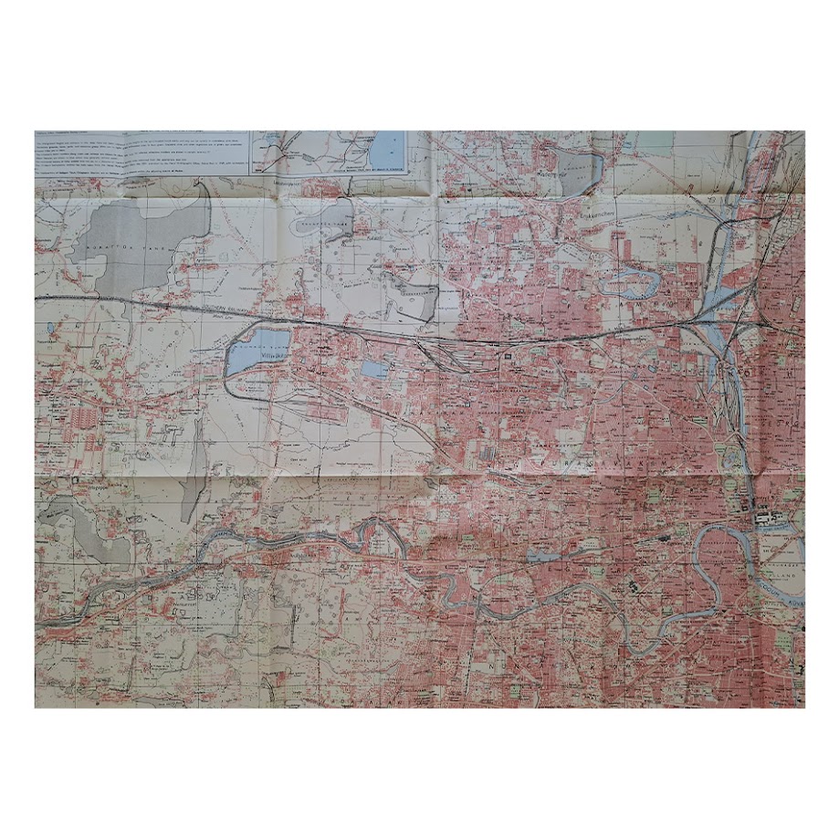
A substantial and visually striking official plan of Madras at a pivotal moment in the city’s post-independence expansion, issued immediately before the formal renaming of the city to Chennai and before the dramatic urban and industrial transformation of the later twentieth century. The map records the metropolitan geography of South India’s principal port city during the late Nehruvian and early Indira Gandhi period, showing in exceptional detail the infrastructure, railway yards, reservoirs, industrial zones, waterways, parks and expanding residential districts of one of India’s largest urban centres.
The scale permits unusually granular detail, including street patterns, railway sidings, canals, institutional compounds, marshland, contouring and military or administrative installations. The harbour and coastal districts are particularly well rendered, while the inset situates Madras within the broader regional transport network of Tamil Nadu and neighbouring states.
Survey of India “Guide Maps” of this period were produced in comparatively limited numbers and were often heavily used, making large-format survivors increasingly difficult to obtain in commerce. The present example belongs to the first edition of the Madras issue, surveyed between 1964 and 1967 and published in 1970. Institutional holdings appear surprisingly sparse. I locate a record at the National Library of Australia for the 1970 edition, catalogued as a folded colour map measuring approximately 113 × 84 cm. The map is also noted in the holdings information assembled by the Centre of South Asian Studies, University of Cambridge relating to Survey of India guide maps.
The map has additional historical interest as a document of Madras immediately before the major political and cultural transformations associated with the consolidation of Dravidian politics in Tamil Nadu during the 1970s. It preserves the city’s official late-colonial and early post-colonial nomenclature and infrastructure before later redevelopment and renaming campaigns reshaped the urban landscape.
SHOP WITH CONFIDENCE AT HORNSEYS
At Hornseys, we are dedicated to offering items that uphold the highest standards of quality and authenticity. Our collection of artwork is carefully curated to ensure that each item we offer is authentic, collated, and complete.
Here’s what sets us apart:
- Authenticity and Provenance: Each map is researched and verified for authenticity.
- Expert Curation: We wholly own all our artworks. We trust our taste and have invested heavily in it. We have confidence in all artwork that we offer for sale.
- Customer Satisfaction: We strive to provide an exceptional customer experience, from detailed descriptions and provenance to secure and prompt delivery of your purchase.
- Returns Policy: We offer an unconditional guarantee on every item. If, however, you wish to make a return, artworks may be sent back to us within fourteen days of receipt for whatever reason. We request that we are notified in advance if you wish to do so. They must be returned to us in the same condition as they were sent for a full refund.
OUR COMMITMENT TO QUALITY AND SERVICE
Understanding the value and rarity of these items, we ensure that every aspect of your purchase meets the highest standards of quality and service. This includes:
- Free Expedited, Tracked, and Insured Delivery within the UK: Ensuring that your artwork arrives safely and promptly.
- Fully-Insured Worldwide Delivery: Offering peace of mind for international collectors with reliable and secure shipping options.
EXPLORE OUR COLLECTION
Visit Hornseys today to explore our fine collection of maps and other artworks. Whether you are an avid collector or looking for a special gift, our selection offers something truly unique. Located since 1976 in Ripon in the picturesque Yorkshire Dales, we are recognized as a destination gallery for tastefully curated artwork, rare maps, design, and fine books.