Moirang, Manipur – Restricted IV Corps Battle Map – Road to Imphal – June 1944 – First Edition
Description
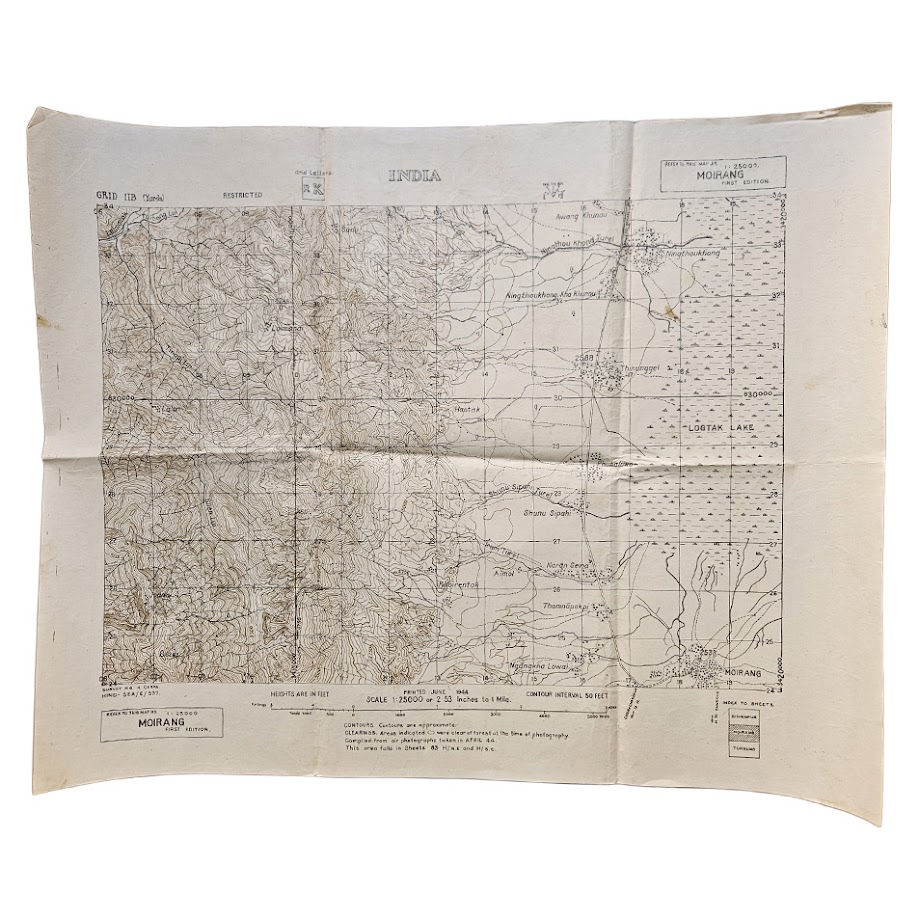
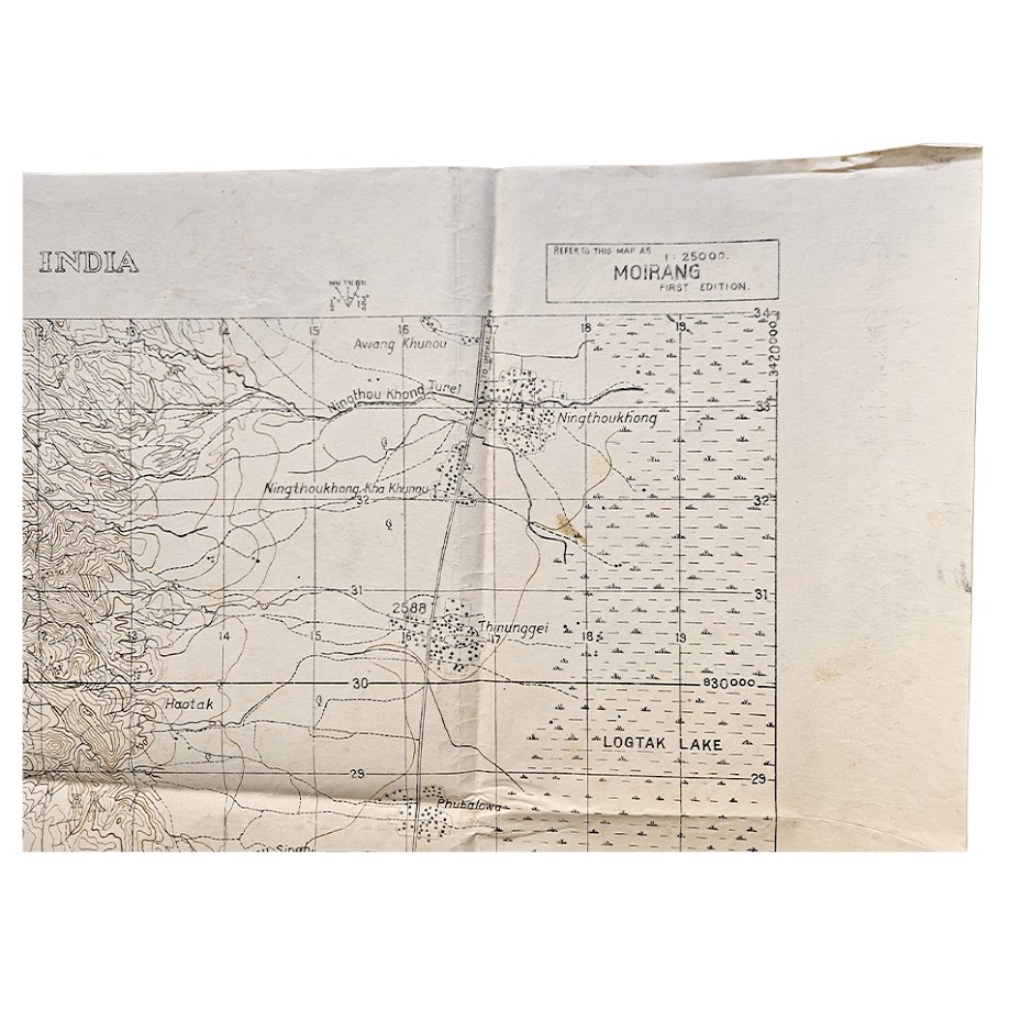
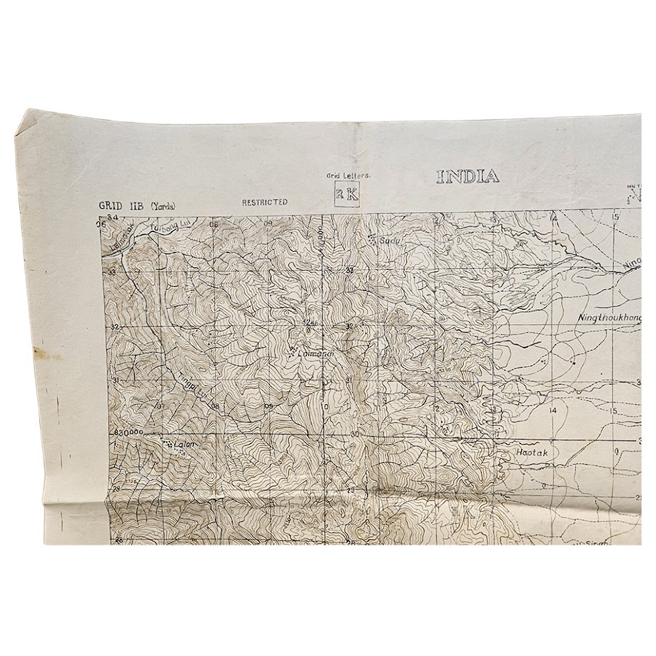
A scarce and historically significant original Second World War British military map of Moirang, Manipur, produced during the Battle of Imphal and printed in June 1944 at the exceptionally detailed scale of 1:25,000.
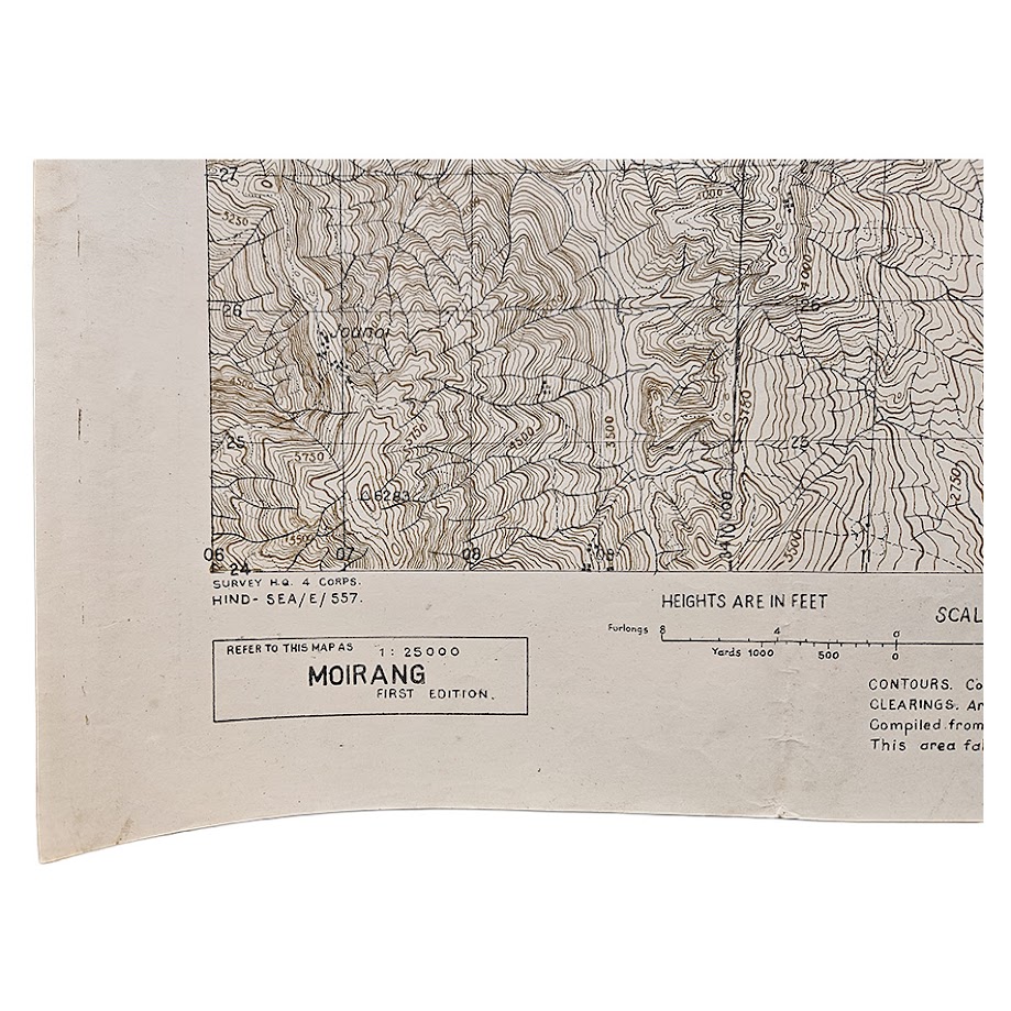
The sheet is headed INDIA, bears the security classification RESTRICTED, and is specifically identified as MOIRANG – FIRST EDITION. The lower-left imprint records its production by Survey H.Q. 4 Corps, HIND-SEA/E/557, placing the map directly within the British IV Corps mapping organisation operating in Manipur during the campaign. Contemporary records of the wartime survey service confirm that IV Corps headquarters had moved to Imphal and was responsible for operations and map supply in the region.
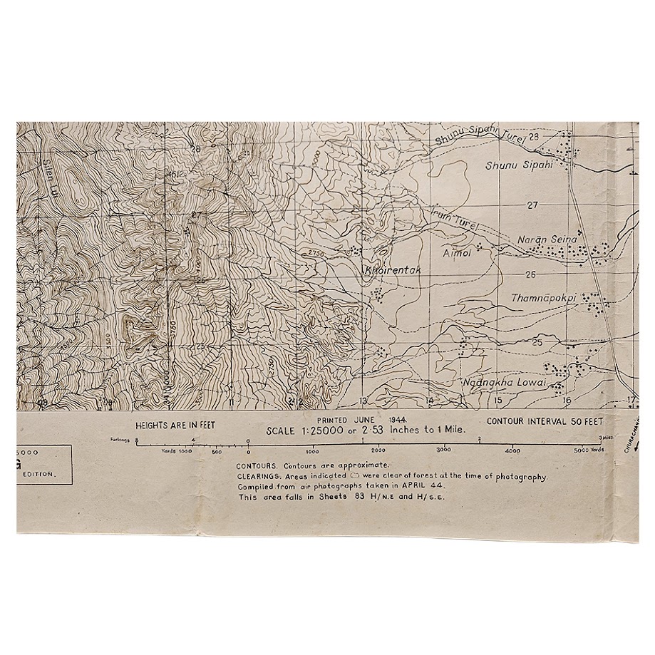
Of particular significance is the printed compilation statement:
“Compiled from air photographs taken in APRIL 44.”
The map was therefore constructed from aerial reconnaissance obtained while the Battle of Imphal was actually taking place, rather than from substantially older pre-war surveying. It was printed only weeks later, in June 1944, making this an unusually immediate example of operational battlefield cartography.
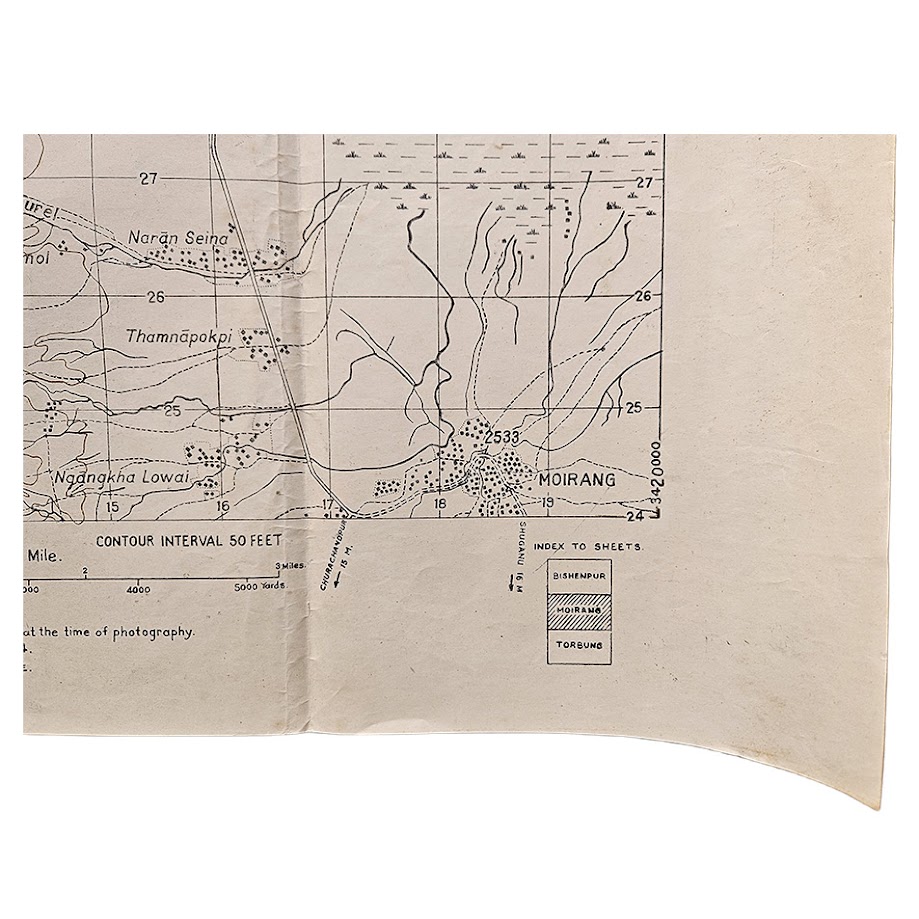
The map centres upon Moirang and the western shore of Loktak Lake, extending westwards into steep and exceptionally densely contoured hill country. At 1:25,000 scale the terrain is shown in considerable tactical detail, with a 50-foot contour interval, settlements, tracks, paths, waterways, clearings, vegetation and communications all carefully delineated. The extraordinary concentration of contours on the western portion of the sheet demonstrates particularly well the difficult terrain in which the campaign was fought.
The principal northbound road towards Imphal is shown continuing from the upper-right area of the sheet, an especially evocative geographical feature given the strategic importance of the Moirang–Bishnupur–Imphal axis during the 1944 fighting. Contemporary scholarship on the campaign specifically identifies the Moirang–Bishnupur–Imphal road as an operational route.
Moirang itself occupies an exceptional position in the history of the campaign and of the Indian independence movement. On 14 April 1944, the flag of the Indian National Army was raised at Moirang, an event commemorated today by the INA Memorial and War Museum. Official Indian government sources identify Moirang as the place where the INA flag was first unfurled on Indian soil.
The chronology of this particular map is therefore particularly compelling: INA occupation and flag raising at Moirang on 14 April 1944; aerial photography during April 1944; preparation by Survey H.Q. IV Corps; and printing of the first edition in June 1944 while the Imphal campaign remained in progress.
This is not merely a general theatre map but large-scale operational mapping of an active battlefield, produced by the Corps responsible for the area from extremely recent wartime aerial photography.
An important piece of surviving Burma Campaign cartography with particular relevance to collectors and researchers of the Battle of Imphal, IV Corps, Fourteenth Army, Indian National Army, Subhas Chandra Bose, Manipur, aerial reconnaissance and British military surveying.
Condition
Good condition for an original operational military map of this date. Original fold lines throughout with associated creasing, rubbing and minor localised wear. Some light surface marking, soiling and age-toning, with occasional small marks and minor marginal wear. The sheet remains complete and the cartographic detail is exceptionally clear and legible. The evidence of handling is entirely consistent with the utilitarian nature of wartime military mapping. Please study the photographs carefully as they form part of the description.
Authority: Survey H.Q., IV Corps
Reference: HIND-SEA/E/557
Date: June 1944
Edition: First Edition
Scale: 1:25,000 / 2.53 inches to 1 mile
Size: 61.5 x 48.9 cm
Area: Moirang, Manipur, India
Classification: Restricted
Source: Compiled from aerial photographs taken April 1944
Contour Interval: 50 feet
SHOP WITH CONFIDENCE AT HORNSEYS
At Hornseys, we are dedicated to offering items that uphold the highest standards of quality and authenticity. Our collection of artwork is carefully curated to ensure that each item we offer is authentic, collated, and complete.
Here’s what sets us apart:
- Authenticity and Provenance: Each map is researched and verified for authenticity.
- Expert Curation: We wholly own all our artworks. We trust our taste and have invested heavily in it. We have confidence in all artwork that we offer for sale.
- Customer Satisfaction: We strive to provide an exceptional customer experience, from detailed descriptions and provenance to secure and prompt delivery of your purchase.
- Returns Policy: We offer an unconditional guarantee on every item. If, however, you wish to make a return, artworks may be sent back to us within fourteen days of receipt for whatever reason. We request that we are notified in advance if you wish to do so. They must be returned to us in the same condition as they were sent for a full refund.
OUR COMMITMENT TO QUALITY AND SERVICE
Understanding the value and rarity of these items, we ensure that every aspect of your purchase meets the highest standards of quality and service. This includes:
- Free Expedited, Tracked, and Insured Delivery within the UK: Ensuring that your artwork arrives safely and promptly.
- Fully-Insured Worldwide Delivery: Offering peace of mind for international collectors with reliable and secure shipping options.
EXPLORE OUR COLLECTION
Visit Hornseys today to explore our fine collection of maps and other artworks. Whether you are an avid collector or looking for a special gift, our selection offers something truly unique. Located since 1976 in Ripon in the picturesque Yorkshire Dales, we are recognized as a destination gallery for tastefully curated artwork, rare maps, design, and fine books.