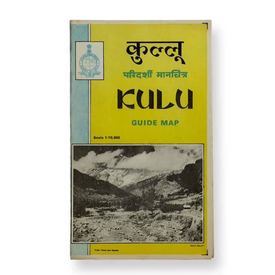
KULU GUIDE MAP – Survey of India – First Edition – 1975
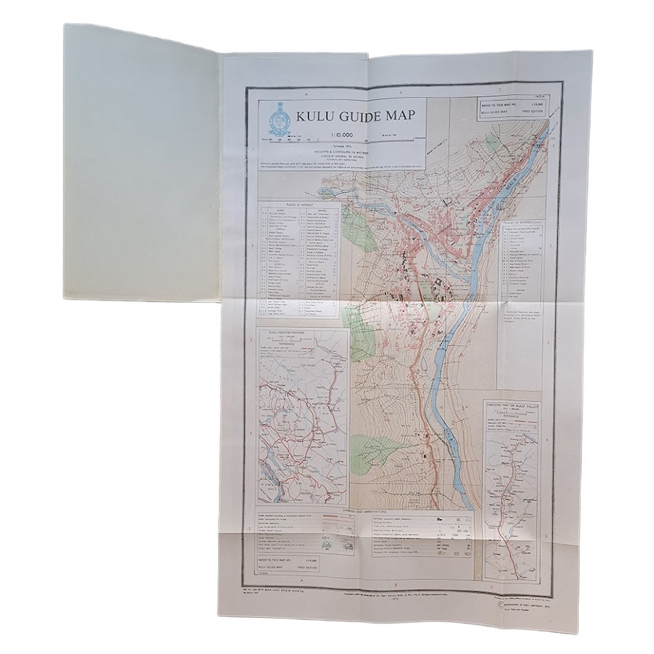
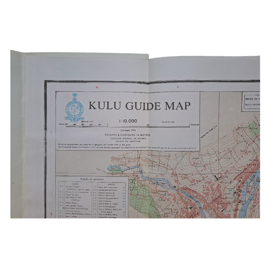
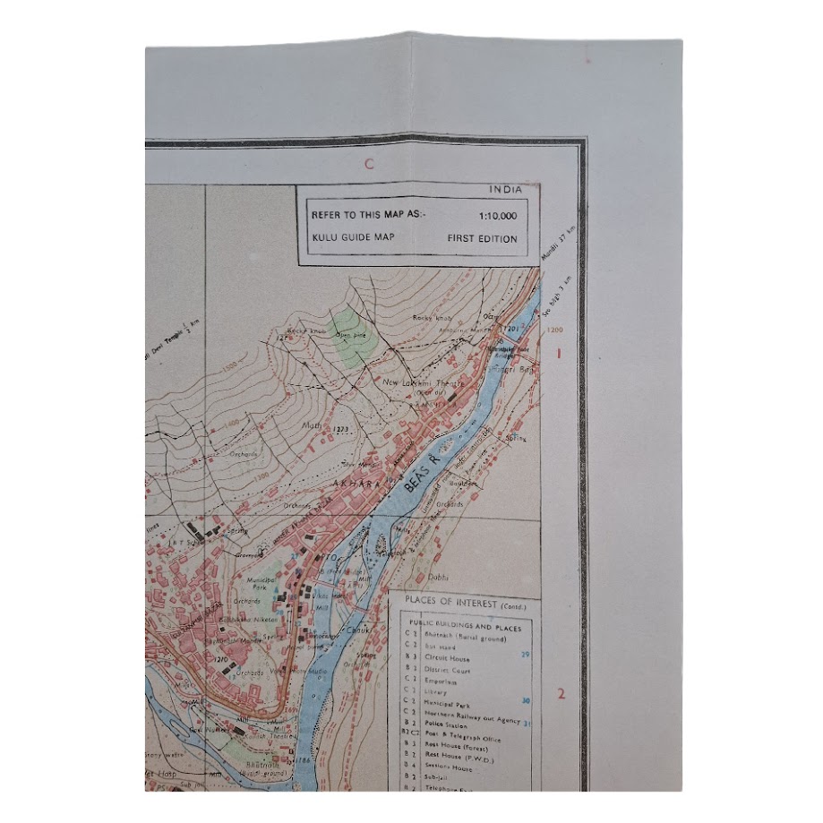
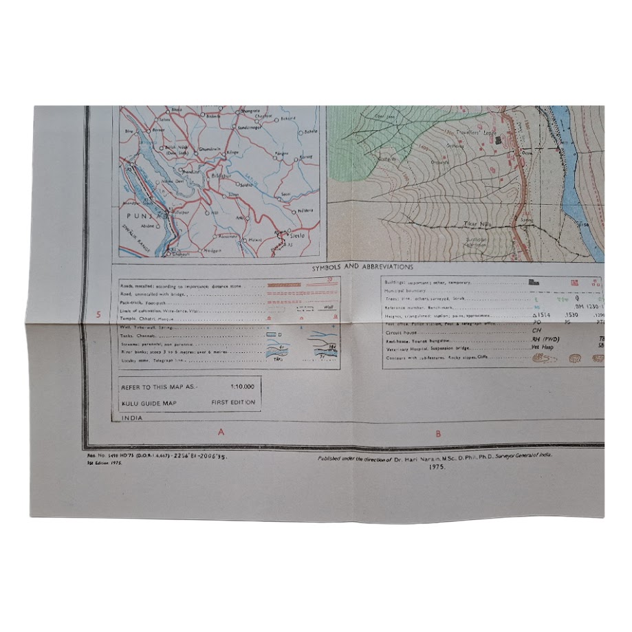
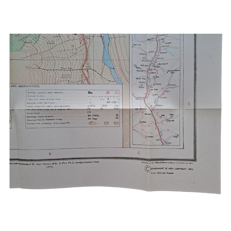
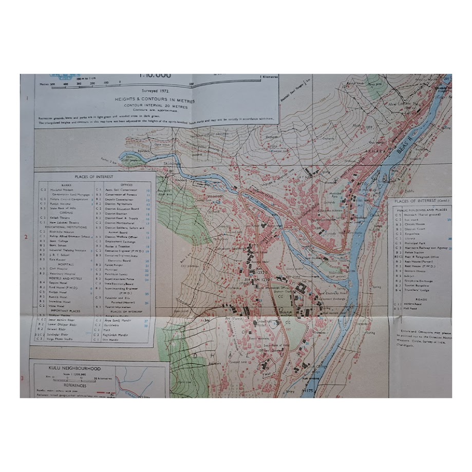
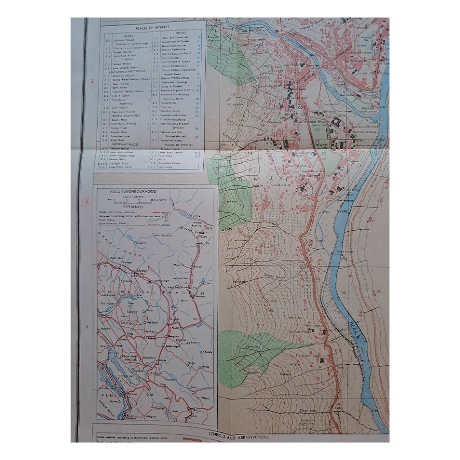
Large folding colour-printed town plan and tourist guide map of Kulu, issued by the Survey of India at a detailed scale of 1:10,000. The map depicts the Himalayan town straddling the Beas River with extensive topographical contouring, roads, bridges, public buildings, temples, hotels, orchards, municipal features and transport infrastructure carefully delineated throughout. Side panels contain extensive “Places of Interest” indexes, symbols and abbreviations, together with a Kulu neighbourhood map and a parking map of Kulu Valley. Printed in English and Hindi with Survey of India emblem and official publication references throughout.
Surveyed 1972; published under the direction of Dr Hari Narain, Surveyor General of India, 1975. First edition. Government of India copyright notice to lower margin. Folding sheet as issued.
Scale 1:10,000. Sheet size approximately 58.6 × 37.5 cm.
Condition: Near fine. Clean and bright with strong original colour. Minor handling marks and faint marginal toning. An unusually well-preserved example.
The map appears to be both institutionally un-recorded and commercially scarce, particularly in such well-preserved condition. Himalayan Survey of India tourist maps of this period are increasingly sought after for their combination of detailed cartography, modernist graphic design and documentation of rapidly developing hill centres such as Kulu and Manali.
Overall an attractive and increasingly uncommon official guide map of Kulu, combining precise Himalayan topography with urban planning and tourist infrastructure in a highly decorative format.
SHOP WITH CONFIDENCE AT HORNSEYS
At Hornseys, we are dedicated to offering items that uphold the highest standards of quality and authenticity. Our collection of artwork is carefully curated to ensure that each item we offer is authentic, collated, and complete.
Here’s what sets us apart:
- Authenticity and Provenance: Each map is researched and verified for authenticity.
- Expert Curation: We wholly own all our artworks. We trust our taste and have invested heavily in it. We have confidence in all artwork that we offer for sale.
- Customer Satisfaction: We strive to provide an exceptional customer experience, from detailed descriptions and provenance to secure and prompt delivery of your purchase.
- Returns Policy: We offer an unconditional guarantee on every item. If, however, you wish to make a return, artworks may be sent back to us within fourteen days of receipt for whatever reason. We request that we are notified in advance if you wish to do so. They must be returned to us in the same condition as they were sent for a full refund.
OUR COMMITMENT TO QUALITY AND SERVICE
Understanding the value and rarity of these items, we ensure that every aspect of your purchase meets the highest standards of quality and service. This includes:
- Free Expedited, Tracked, and Insured Delivery within the UK: Ensuring that your artwork arrives safely and promptly.
- Fully-Insured Worldwide Delivery: Offering peace of mind for international collectors with reliable and secure shipping options.
EXPLORE OUR COLLECTION
Visit Hornseys today to explore our fine collection of maps and other artworks. Whether you are an avid collector or looking for a special gift, our selection offers something truly unique. Located since 1976 in Ripon in the picturesque Yorkshire Dales, we are recognized as a destination gallery for tastefully curated artwork, rare maps, design, and fine books.