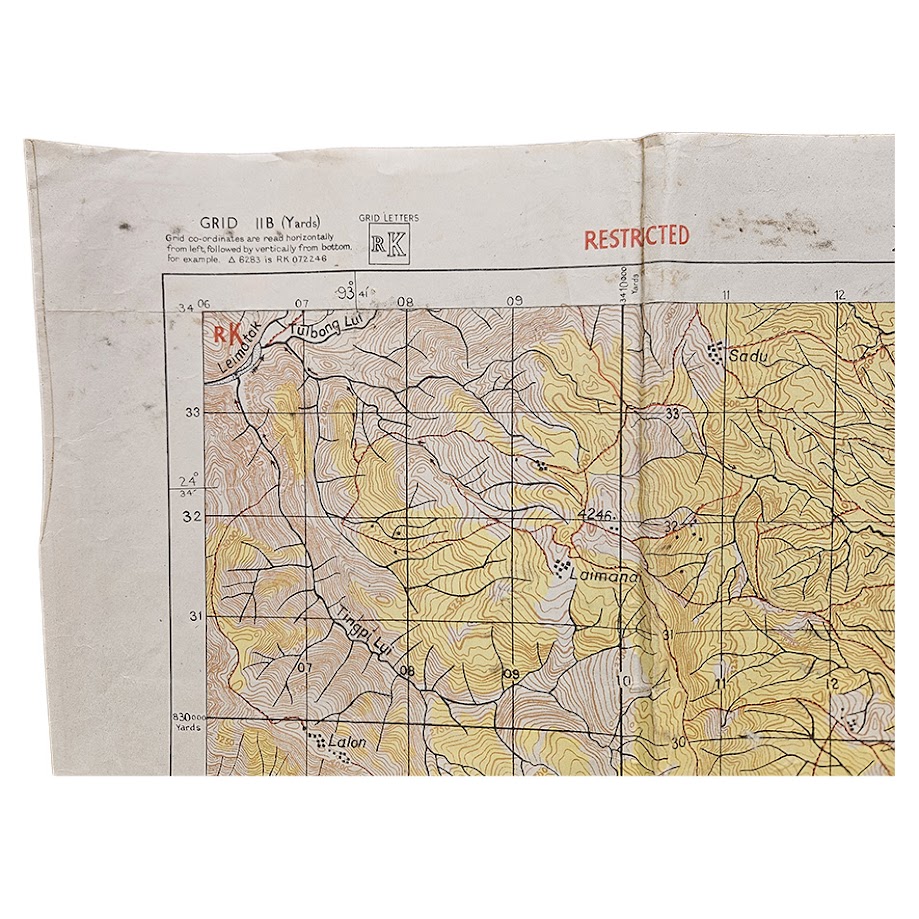
Moirang, Manipur – Restricted British Fourteenth Army Battle Map – Road to Imphal – June 1944 – Second Edition
Description
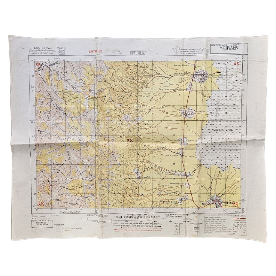
An important and scarce original Second World War military map of Moirang and the surrounding district of Manipur, north-east India, produced at the height of the Battle of Imphal in June 1944.
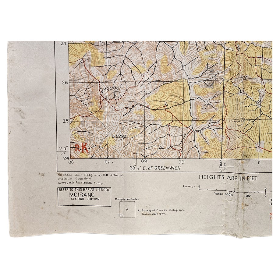
Printed at the exceptionally detailed scale of 1:25,000, the map is headed INDIA and prominently marked RESTRICTED in red. It is identified as MOIRANG – SECOND EDITION, with the printing statement recording both the first and second editions as June 1944 and attributing the second edition to Survey H.Q., Fourteenth Army.
Particularly significant is the printed compilation note:
“Compiled from air photographs taken in April 1944.”
The date is remarkable. The photographs from which this edition was compiled were therefore taken while the Imphal campaign was actually in progress, with Japanese and Indian National Army forces operating in this region. The map itself was printed in June 1944, while the fighting around Imphal was still continuing. The British Army’s mapping organisation was operating in direct support of the campaign, and contemporary survey history records the movement of military map-production facilities into the Imphal area during the Burma campaign.
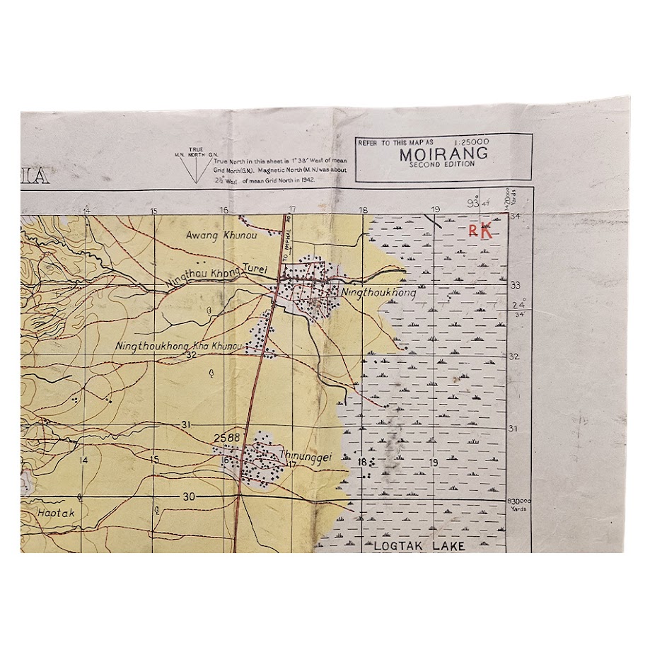
The sheet centres upon Moirang, extending northwards along the eastern side of the Loktak Lake and westwards into the heavily contoured hill country. Roads, cart tracks, pack tracks, footpaths, settlements, waterways, relief, vegetation and communications are recorded in considerable topographical detail. The juxtaposition of the mountainous western terrain with the more open country bordering Loktak Lake gives a particularly clear impression of the difficult operational landscape.
Of particular interest, in the upper-right portion of the map the principal northbound road is explicitly marked “TO IMPHAL”, creating a direct geographical connection between Moirang and the principal objective of the Japanese offensive. The Moirang–Bishnupur–Imphal route was one of the important axes through this battlefield.
Moirang itself has exceptional historical significance. On 14 April 1944, shortly before the aerial photographs used for this map were taken, the flag of the Indian National Army was raised at Moirang. The site remains commemorated by the INA Memorial and museum.
The sheet therefore has an unusually close relationship between cartography, date and military events: rather than being simply a wartime map of a distant operational theatre, this is detailed field mapping of one of the principal areas contested during the Battle of Imphal, revised from aerial photography obtained during the campaign itself.
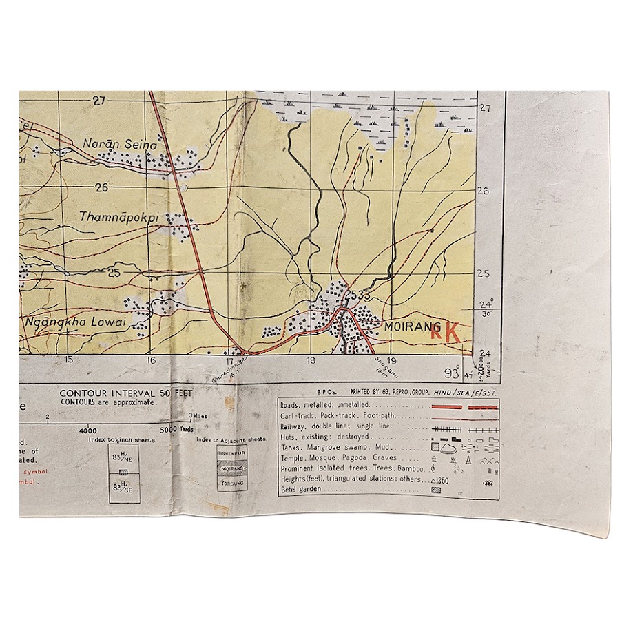
Printed below the map is “PRINTED JUNE 1944”, while the lower-right imprint identifies 63 Reproduction Group, HIND/SEA/E/57. The map carries Grid 11B (Yards), grid letters RK, a 50-foot contour interval and extensive conventional signs.
An evocative and highly collectable piece of Burma Campaign cartography, particularly suitable for collections relating to the Battle of Imphal, Fourteenth Army, Indian National Army, Burma Campaign, Manipur, military aerial reconnaissance or Second World War mapping.
Condition
Good condition for an operational military map of this date. Original folding creases throughout with some associated rubbing, short closed tear to lower margin, handling marks, localised surface soiling and minor staining, particularly along several folds and towards the margins. Some creasing and minor wear to the outer edges. The printed area remains complete and highly legible, with strong yellow, brown and red colouring and the red RESTRICTED designation remaining clear. No attempt has been made to disguise the evidence of contemporary handling and use. Please study the photographs carefully as they form part of the description.
Publisher / Authority: Survey H.Q., Fourteenth Army
Printer: 63 Reproduction Group, HIND/SEA/E/57
Date: June 1944
Edition: Second Edition
Scale: 1:25,000
Size: 61.8 x 49 cm
Area: Moirang, Manipur, India
Classification: Restricted
Compilation: From aerial photographs taken April 1944
SHOP WITH CONFIDENCE AT HORNSEYS
At Hornseys, we are dedicated to offering items that uphold the highest standards of quality and authenticity. Our collection of artwork is carefully curated to ensure that each item we offer is authentic, collated, and complete.
Here’s what sets us apart:
- Authenticity and Provenance: Each map is researched and verified for authenticity.
- Expert Curation: We wholly own all our artworks. We trust our taste and have invested heavily in it. We have confidence in all artwork that we offer for sale.
- Customer Satisfaction: We strive to provide an exceptional customer experience, from detailed descriptions and provenance to secure and prompt delivery of your purchase.
- Returns Policy: We offer an unconditional guarantee on every item. If, however, you wish to make a return, artworks may be sent back to us within fourteen days of receipt for whatever reason. We request that we are notified in advance if you wish to do so. They must be returned to us in the same condition as they were sent for a full refund.
OUR COMMITMENT TO QUALITY AND SERVICE
Understanding the value and rarity of these items, we ensure that every aspect of your purchase meets the highest standards of quality and service. This includes:
- Free Expedited, Tracked, and Insured Delivery within the UK: Ensuring that your artwork arrives safely and promptly.
- Fully-Insured Worldwide Delivery: Offering peace of mind for international collectors with reliable and secure shipping options.
EXPLORE OUR COLLECTION
Visit Hornseys today to explore our fine collection of maps and other artworks. Whether you are an avid collector or looking for a special gift, our selection offers something truly unique. Located since 1976 in Ripon in the picturesque Yorkshire Dales, we are recognized as a destination gallery for tastefully curated artwork, rare maps, design, and fine books.