SHIMLA GUIDE MAP – Survey of India – Second Edition – 1981
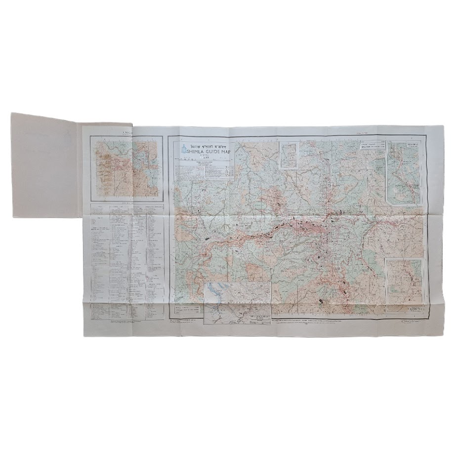
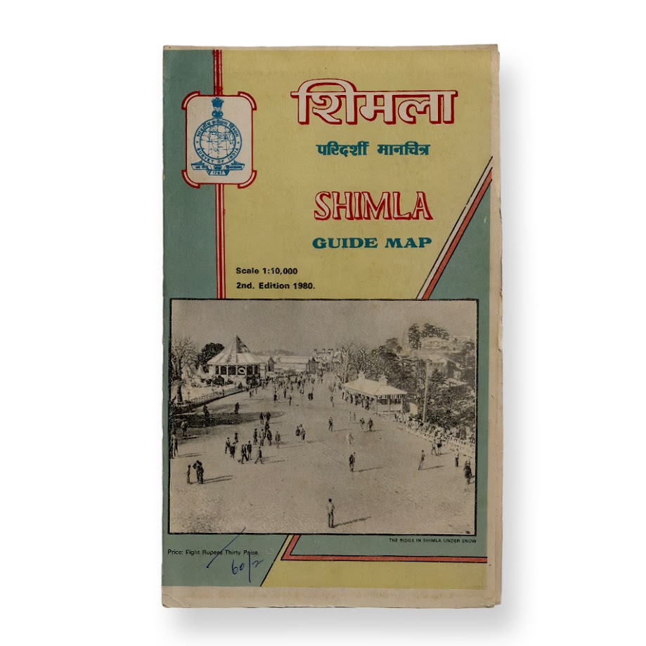
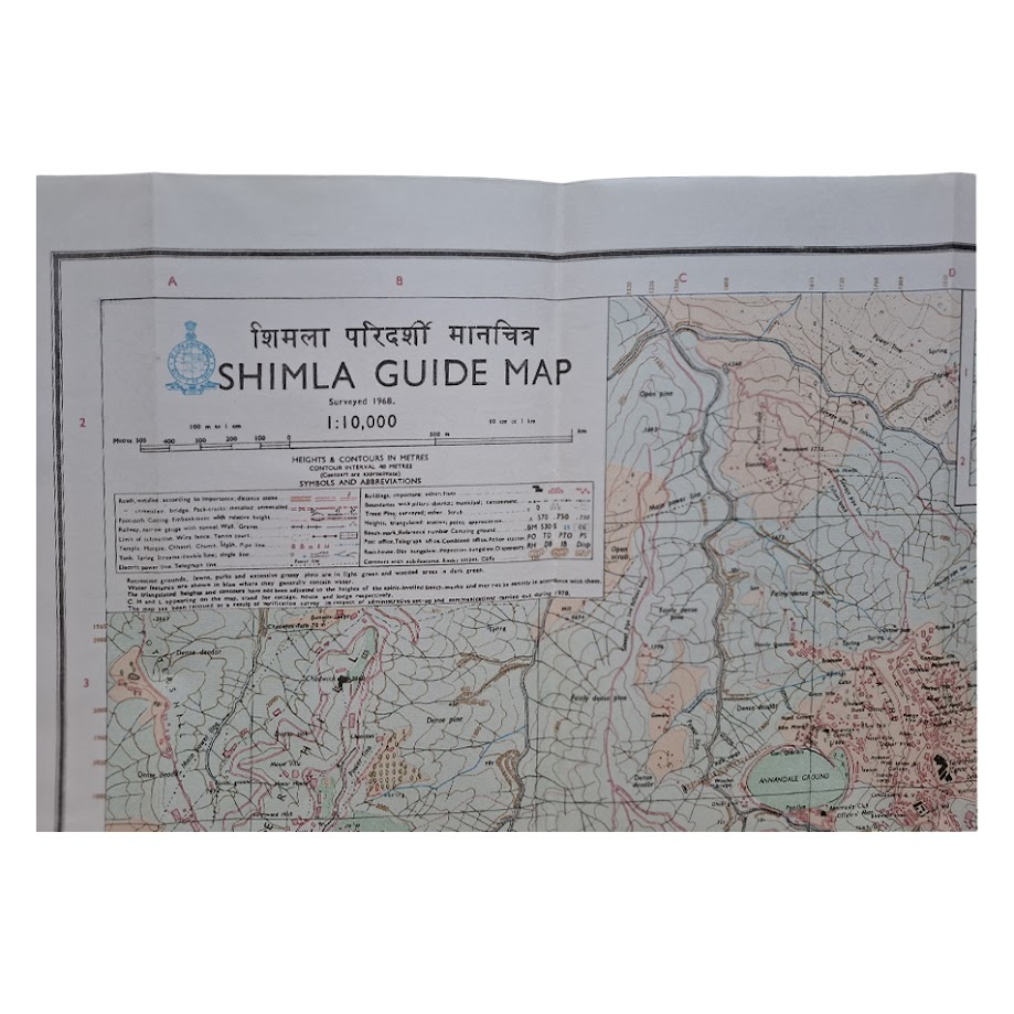
Large official Survey of India folding guide map of Shimla, issued at a scale of 1:10,000. Second edition, 1981, revised from surveys of 1968. Sheet size approximately 101.5 x 58.5 cm.
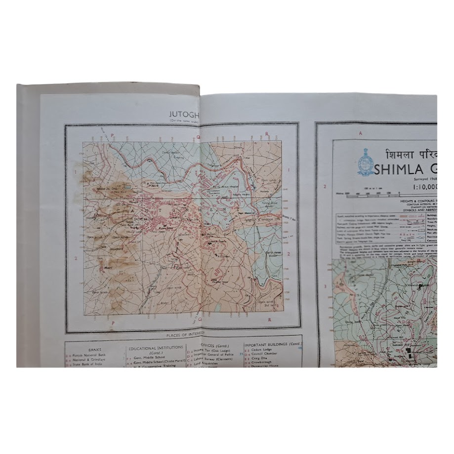
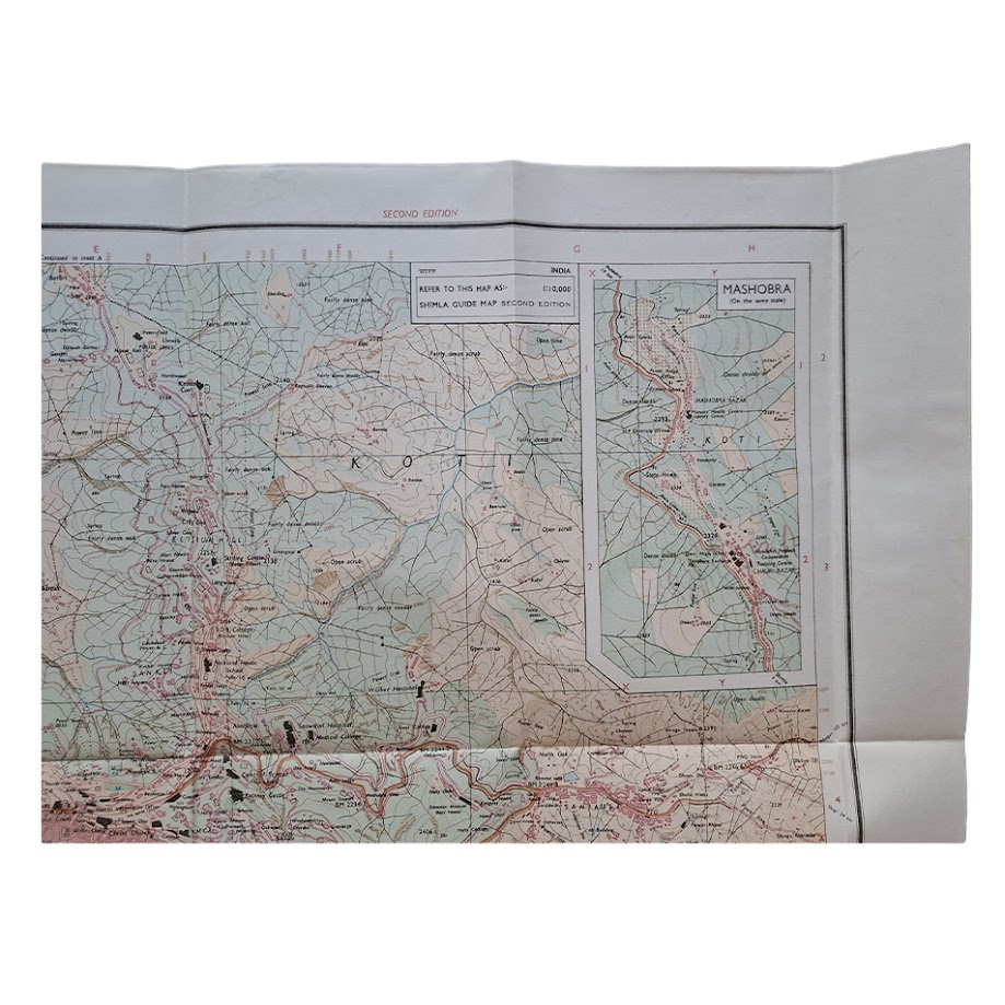
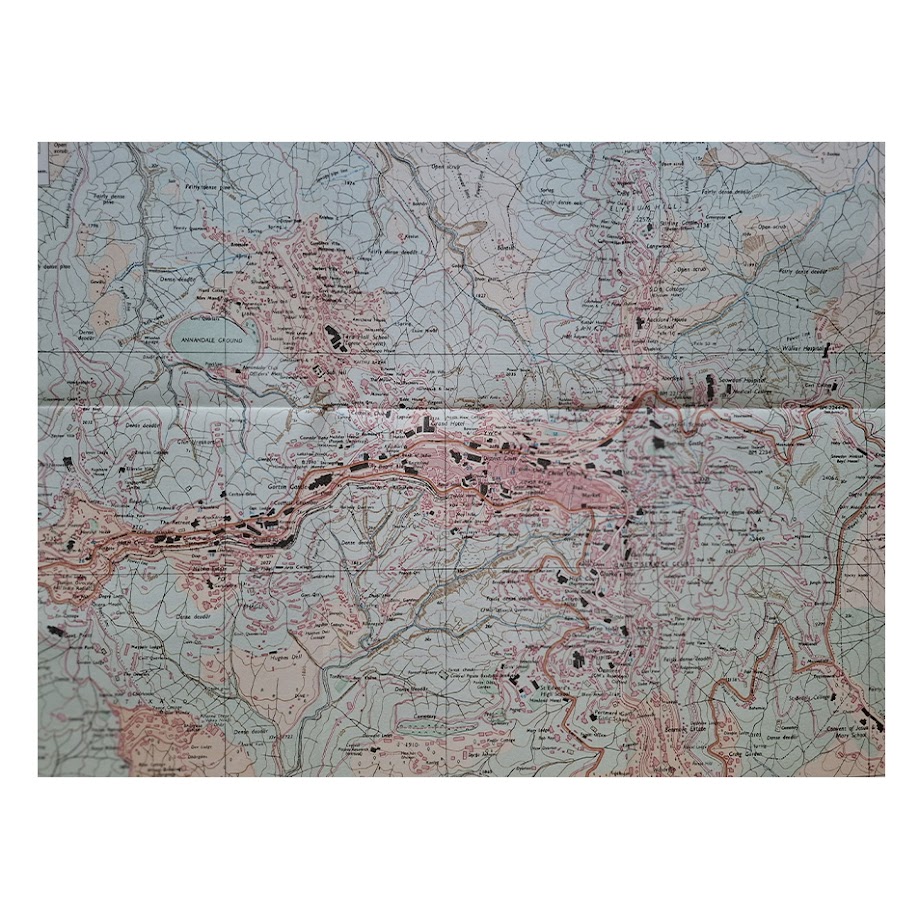
A detailed official topographical and urban map of Shimla, recording the former summer capital of British India during a period immediately preceding the rapid expansion of modern Himalayan tourism and urban development in Himachal Pradesh. The map depicts the distinctive ridge-top settlement and surrounding valleys in considerable detail, showing contouring, roads, footpaths, wooded areas, watercourses, cantonments, churches, schools, government offices, clubs, hotels, hospitals and residential districts throughout the municipality and adjoining hill settlements.
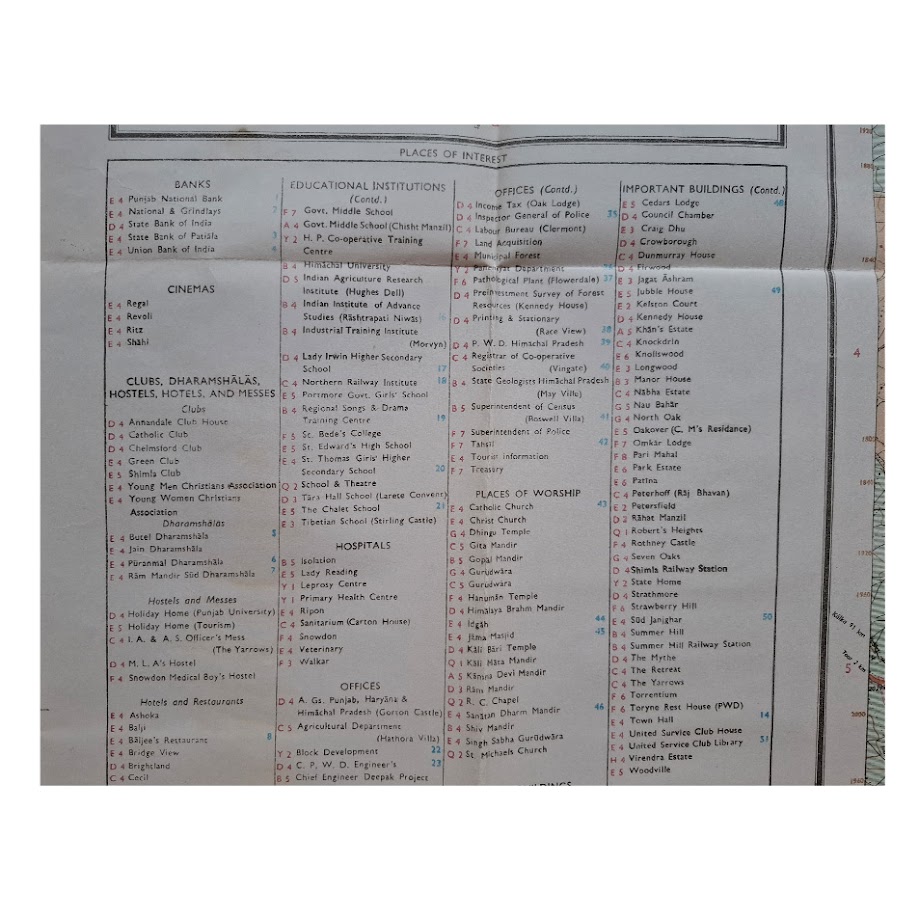
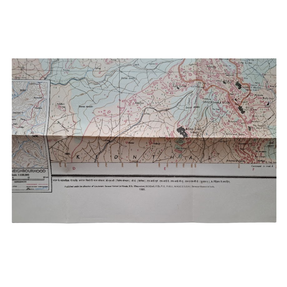
Coverage extends across the principal urban ridge and adjacent districts, including Summer Hill, Chhota Shimla, Sanjauli, Jutogh and Kasumpti, together with inset maps of Mashobra and the wider Shimla neighbourhood. Extensive printed “Places of Interest” tables identify banks, educational institutions, cinemas, hotels, government departments, religious sites and notable colonial-era buildings.
Particularly notable is the map’s preservation of Shimla’s layered colonial and post-Independence urban geography. The map records the city at a transitional moment, retaining much of the administrative and institutional framework associated with the late British Raj hill station while simultaneously documenting the expanding post-Independence capital of Himachal Pradesh. The steep topography, dense municipal development and complex road network are rendered with remarkable clarity at this large scale.
Produced under the direction of Lieutenant General Jal Khamb, AVSM, Surveyor General of India, and printed by the Survey of India at Dehra Dun. Bilingual title in English and Hindi throughout.
Condition: Folding map complete, with expected fold lines, light creasing and minor handling wear. One very short closed tear to lower margin. Very minor age-toning. Overall near fine, the map remaining clean, bright and highly presentable.
Not unrecorded: institutional holdings of Survey of India guide maps include Shimla examples, and the title forms part of the broader documented series of official Indian urban and tourist guide maps issued during the post-Independence period. Scarce in commerce, particularly in such well-preserved large-format folding form.
A substantial and visually impressive official Survey of India map of Shimla, combining Himalayan topography, colonial urban planning and post-Independence municipal geography in a highly decorative and increasingly collectible format.
SHOP WITH CONFIDENCE AT HORNSEYS
At Hornseys, we are dedicated to offering items that uphold the highest standards of quality and authenticity. Our collection of artwork is carefully curated to ensure that each item we offer is authentic, collated, and complete.
Here’s what sets us apart:
- Authenticity and Provenance: Each map is researched and verified for authenticity.
- Expert Curation: We wholly own all our artworks. We trust our taste and have invested heavily in it. We have confidence in all artwork that we offer for sale.
- Customer Satisfaction: We strive to provide an exceptional customer experience, from detailed descriptions and provenance to secure and prompt delivery of your purchase.
- Returns Policy: We offer an unconditional guarantee on every item. If, however, you wish to make a return, artworks may be sent back to us within fourteen days of receipt for whatever reason. We request that we are notified in advance if you wish to do so. They must be returned to us in the same condition as they were sent for a full refund.
OUR COMMITMENT TO QUALITY AND SERVICE
Understanding the value and rarity of these items, we ensure that every aspect of your purchase meets the highest standards of quality and service. This includes:
- Free Expedited, Tracked, and Insured Delivery within the UK: Ensuring that your artwork arrives safely and promptly.
- Fully-Insured Worldwide Delivery: Offering peace of mind for international collectors with reliable and secure shipping options.
EXPLORE OUR COLLECTION
Visit Hornseys today to explore our fine collection of maps and other artworks. Whether you are an avid collector or looking for a special gift, our selection offers something truly unique. Located since 1976 in Ripon in the picturesque Yorkshire Dales, we are recognized as a destination gallery for tastefully curated artwork, rare maps, design, and fine books.