DELHI GUIDE MAP – Survey of India – Second Edition – 1982
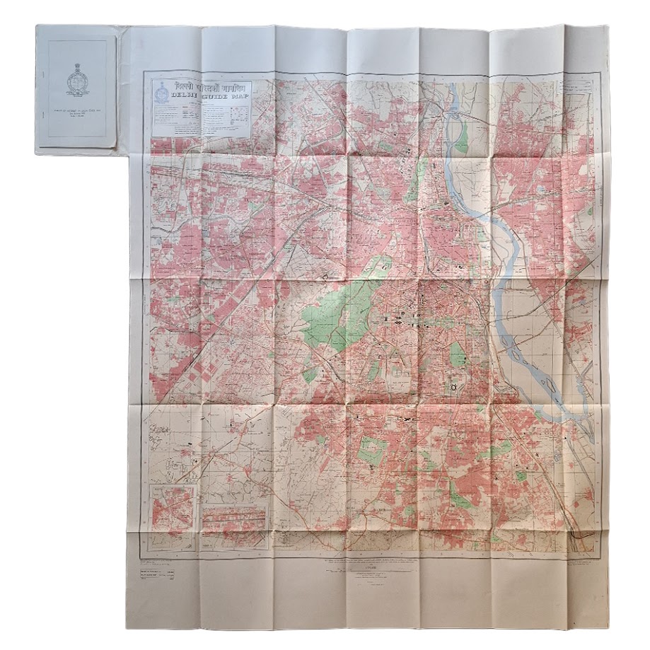
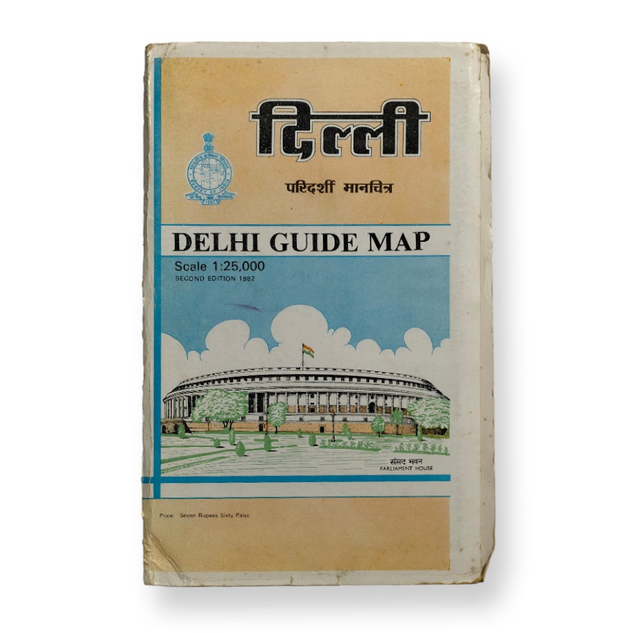
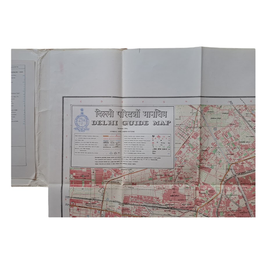
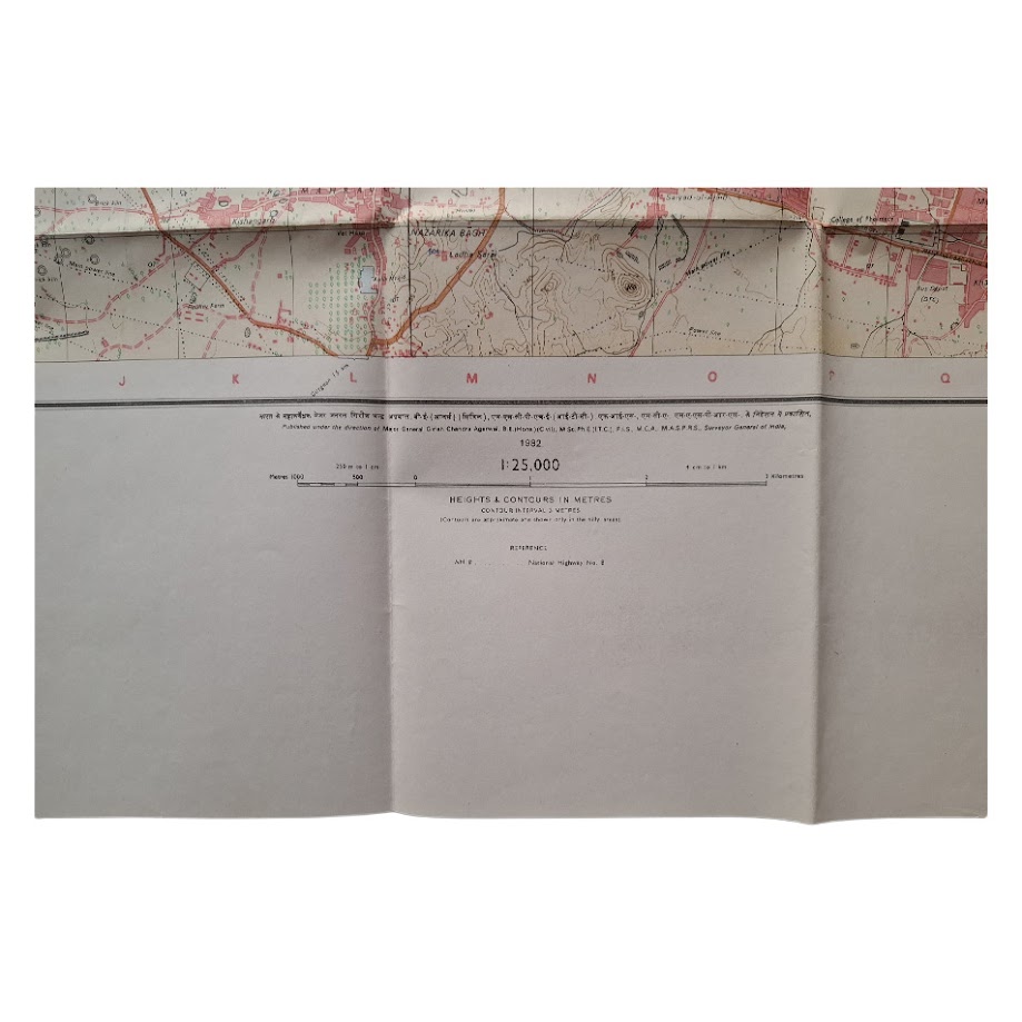
Large-format official folding guide map of Delhi issued by the Survey of India at a scale of 1:25,000. Second edition, 1982. Bilingual Hindi and English title throughout. Complete with the original printed card covers and accompanying index booklet. The map extends to approximately 121.6 x 94.7 cm when unfolded.
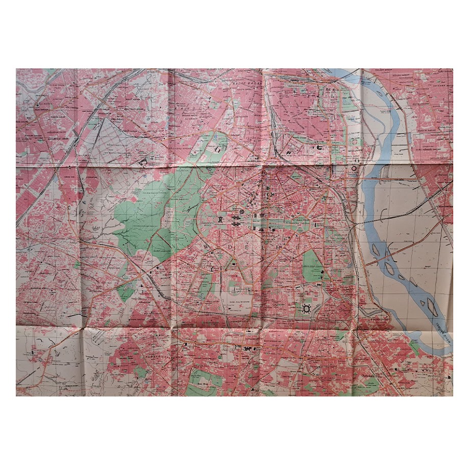
An unusually well-preserved and highly detailed official urban map depicting Delhi immediately prior to the transformative redevelopment associated with the 1982 Asian Games. Produced by the Survey of India, the map captures the late twentieth-century capital during a pivotal period of rapid expansion, recording major civic, governmental, transport and residential infrastructure shortly before substantial modernisation altered large sections of the city.
The map includes detailed street plans, railways, public buildings, commercial districts, parks, stadia, tourist offices, markets, shopping centres and institutional sites. Particularly notable are the extensive references to government infrastructure and public institutions, together with contemporary urban planning features around Connaught Place, Pragati Maidan, the diplomatic quarter and the expanding southern districts of the city.
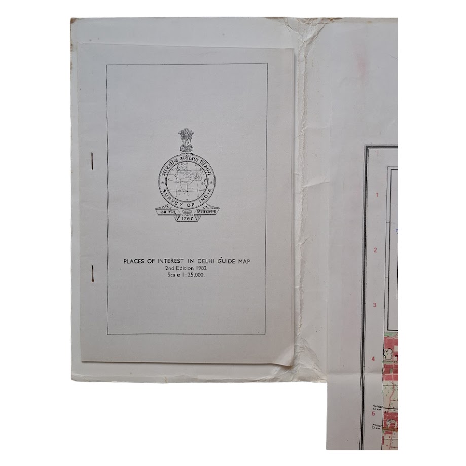
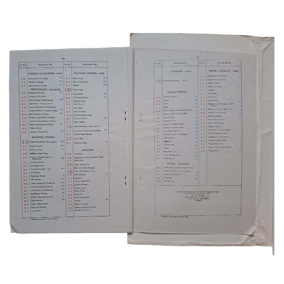
The accompanying printed index booklet provides an extensive alphabetical gazetteer and reference guide, including schools, colleges, markets, travel agencies, sports venues and tourist facilities. Such ancillary booklets were often separated from the parent map and are frequently absent in surviving examples.
Official Survey of India maps of this size were intended for practical administrative and navigational use and are therefore uncommon in complete survival, particularly with original covers and booklet intact. Large folding city maps of post-Independence India were often heavily used, discarded or replaced by later editions.
Condition: Original pictorial wrappers showing the Parliament House building to the upper cover. Folding map housed in original covers with the separately printed index booklet retained. General creasing from folding, light edge wear and some splitting and wear around fold junctions and inner cover joints, consistent with use. The map itself remains bright, complete and highly presentable. In near fine condition overall.
No institutional holding for this exact 1982 second edition with accompanying booklet has been traced in Library Hub Discover, the British Library catalogue, or WorldCat. Apparently unrecorded institutionally in this complete form.
A scarce and visually impressive official map of modern Delhi, combining cartographic, urban-planning and historical significance, and of considerable interest to collectors of Indian cartography, twentieth-century city plans, post-Independence material, and Survey of India publications.
SHOP WITH CONFIDENCE AT HORNSEYS
At Hornseys, we are dedicated to offering items that uphold the highest standards of quality and authenticity. Our collection of artwork is carefully curated to ensure that each item we offer is authentic, collated, and complete.
Here’s what sets us apart:
- Authenticity and Provenance: Each map is researched and verified for authenticity.
- Expert Curation: We wholly own all our artworks. We trust our taste and have invested heavily in it. We have confidence in all artwork that we offer for sale.
- Customer Satisfaction: We strive to provide an exceptional customer experience, from detailed descriptions and provenance to secure and prompt delivery of your purchase.
- Returns Policy: We offer an unconditional guarantee on every item. If, however, you wish to make a return, artworks may be sent back to us within fourteen days of receipt for whatever reason. We request that we are notified in advance if you wish to do so. They must be returned to us in the same condition as they were sent for a full refund.
OUR COMMITMENT TO QUALITY AND SERVICE
Understanding the value and rarity of these items, we ensure that every aspect of your purchase meets the highest standards of quality and service. This includes:
- Free Expedited, Tracked, and Insured Delivery within the UK: Ensuring that your artwork arrives safely and promptly.
- Fully-Insured Worldwide Delivery: Offering peace of mind for international collectors with reliable and secure shipping options.
EXPLORE OUR COLLECTION
Visit Hornseys today to explore our fine collection of maps and other artworks. Whether you are an avid collector or looking for a special gift, our selection offers something truly unique. Located since 1976 in Ripon in the picturesque Yorkshire Dales, we are recognized as a destination gallery for tastefully curated artwork, rare maps, design, and fine books.