
Related products

Australia: Das Innere Von Neu-Sud-Wales Nach John Oxley, 1822
£75.00Oxley, John & Perthes, Justus & Gross, J
Cook, James & Bowen, Thomas
£75.00
Availability: In stock
Date: 1774. Original copper engraving. Sheet size: 36.8cm x 23.6cm. Uncoloured, as issued. Two maps based on the explorations of Cook on his first voyage. The first map charts the entrance to the Endeavour river in Queensland where Cook was stranded for seven weeks following damage to his ship on the Great Barrier Reef. The second map is a detailed chart of Botany Bay, named after the large and diverse quantities of botanical specimens collected. Cook was the first European to visit the bay. Blank to the reverse. Central fold line. Has one minor rust spot to the lower edge of the first map. Minor age toning and creasing which is mainly confined to the margins. A very good, bright, clean copy. Scarce.
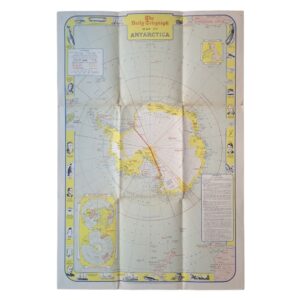
Sleeve 1111: Map Drawer D
Our fine maps date from the 16th century right through to the modern era. Our antique and modern stock includes detailed maps and folding maps of countries and regions throughout the world alongside celestial maps and charts. We hold a good range of items relating to the county of Yorkshire. The vast majority of our maps are unmounted and unframed and the stock is held in our Ripon gallery. We are always interested in buying single items or entire collections of maps and atlases. Please contact us for more details. All prices include free expedited, tracked and insured delivery in the UK and we also offer a fully-insured, world-wide delivery service.


Oxley, John & Perthes, Justus & Gross, J

| Cookie | Duration | Description |
|---|---|---|
| cookielawinfo-checkbox-analytics | 11 months | This cookie is set by GDPR Cookie Consent plugin. The cookie is used to store the user consent for the cookies in the category "Analytics". |
| cookielawinfo-checkbox-functional | 11 months | The cookie is set by GDPR cookie consent to record the user consent for the cookies in the category "Functional". |
| cookielawinfo-checkbox-necessary | 11 months | This cookie is set by GDPR Cookie Consent plugin. The cookies is used to store the user consent for the cookies in the category "Necessary". |
| cookielawinfo-checkbox-others | 11 months | This cookie is set by GDPR Cookie Consent plugin. The cookie is used to store the user consent for the cookies in the category "Other. |
| cookielawinfo-checkbox-performance | 11 months | This cookie is set by GDPR Cookie Consent plugin. The cookie is used to store the user consent for the cookies in the category "Performance". |
| viewed_cookie_policy | 11 months | The cookie is set by the GDPR Cookie Consent plugin and is used to store whether or not user has consented to the use of cookies. It does not store any personal data. |