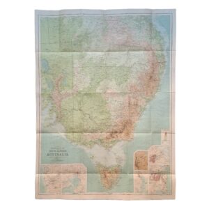
Australia – Neueste Karte Von Australien, 1846
Meyer, Joseph & Radefeld, Carl
£35.00
Availability: In stock
Product Description
Australia – Neueste Karte Von Australien, 1846
Date: 1846. Original steel engraving. Sheet size: 43.2cm x 36.2cm. A detailed map of the South Pacific with inset maps of New South Wales, Van Diemen’s Land and Western Australia. Blank to the reverse. Contemporary outline hand-colouring. Minor age toning which is mainly confined to the margins. A very good indeed, bright, clean copy.
SR: Sleeve: 1111 Map Drawer D.
Our fine maps date from the 16th century right through to the modern era. Our antique and modern stock includes detailed maps and folding maps of countries and regions throughout the world alongside celestial maps and charts. We hold a good range of items relating to the county of Yorkshire. The vast majority of our maps are unmounted and unframed and the stock is held in our Ripon gallery. We are always interested in buying single items or entire collections of maps and atlases. Please contact us for more details. All prices include free expedited, tracked and insured delivery in the UK and we also offer a fully-insured, world-wide delivery service.
Related products
Australia: Das Innere Von Neu-Sud-Wales Nach John Oxley, 1822
£75.00Oxley, John & Perthes, Justus & Gross, J


