


R.T.M. – Rio Tinto Mining Company Limited – General Plan Of Works – c.1874-1876
Rio Tinto Mining Company Limited
£15,000.00
Availability: In stock
Product Description
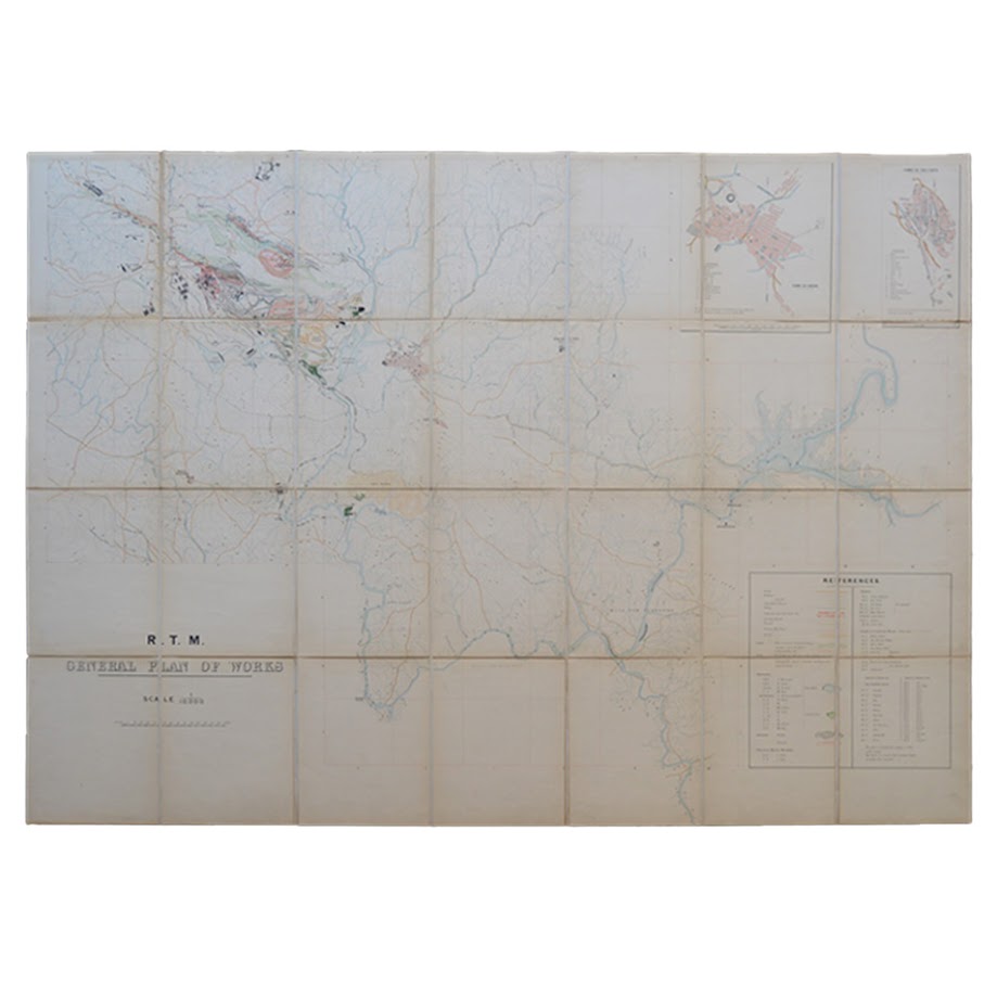
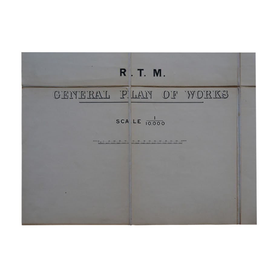
R.T.M. – Rio Tinto Mining Company Limited – General Plan Of Works – c.1874-1876
Date:
c. 1874–1876
Creator:
Prepared for the Rio Tinto Company Limited; no lithographer or engraver identified. The absence of imprint and the technical character of the document indicate production for internal corporate use, likely under the supervision of company engineers or surveyors.
Place of Production:
Probably London and/or the Rio Tinto mining district, Andalusia
Format and Materials:
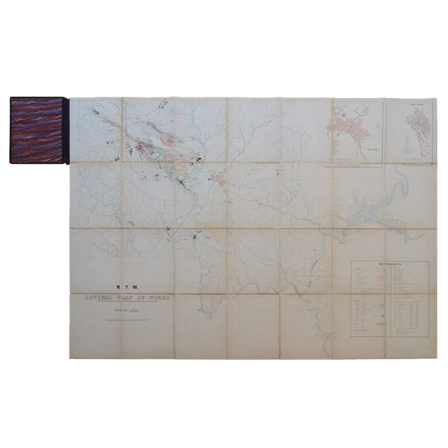
Large-format, multi-sheet map, printed and mounted on linen, folding into original binding with marbled endpapers. Binding size: 21.2cm x 26cm. Map size: 140.1cm x 101.3cm. Evidence of subsequent very minor pencil annotation.
Scale:
1:10,000
Language:
English
Description
A highly detailed and technically integrated engineering and operational master plan of the Rio Tinto mining district, produced during the initial phase of British industrial redevelopment following the 1873 acquisition of the mines.
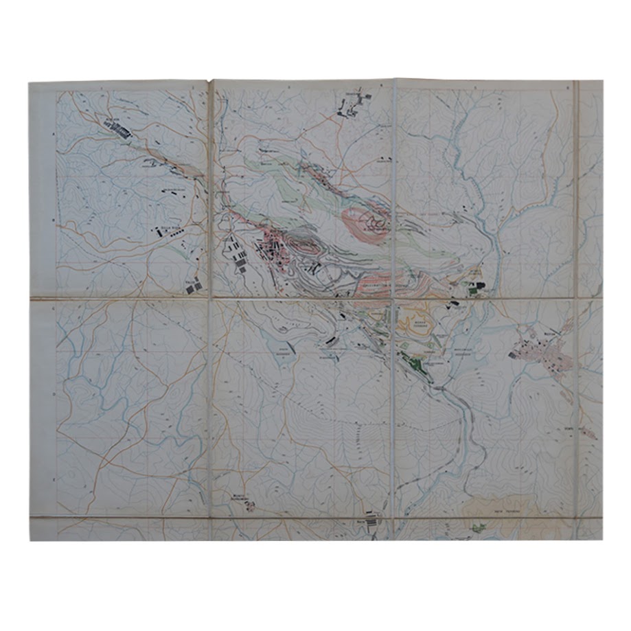
The map synthesises multiple layers of industrial information into a single coordinated spatial system. It is not merely topographical, but analytical and prescriptive, combining:
Geological and topographical framework
- Mineral lodes (including North Lode and associated systems)
- Terraced excavation zones and open-cast workings
- Dense contour mapping with elevations expressed in metres above sea level, enabling precise gradient and drainage analysis
Mining infrastructure
- Vertical shafts and inclined workings
- Tunnel systems (including named levels such as San Dionisio and Corticillas)
- Early open-cast extraction zones, marking a transitional phase between underground and surface mining
Metallurgical and chemical processing
- Calcination grounds
- Precipitating tanks
- Copper liquor reservoirs and associated hydraulic circuits
These elements collectively document the hydrometallurgical extraction process, in which copper-bearing solutions were processed through precipitation systems distributed across the landscape.
Hydraulic engineering
- Fresh water reservoirs and copper liquor reservoirs, clearly differentiated
- Existing and proposed dams
- Engineered drainage pathways
The explicit distinction between water types indicates a sophisticated understanding of process control and resource management.
Transport and logistics
- Railways (distinguishing constructed lines from projected routes)
- Roads and tramways linking pits, plants, and settlements
The co-existence of operational and planned rail infrastructure provides a precise chronological indicator of the system in expansion.
Built environment and settlements
- Industrial buildings including furnaces (notably Huerta Romana), workshops, and depots
- Inset plans of the towns of Rio Tinto and Nerva, detailing civic, medical, and residential structures
A notable cartographic convention distinguishes:
- Company-owned buildings (solid black)
- Non-company structures (cross-hatched red)
This constitutes an early and unusually explicit visualisation of corporate spatial control, mapping not only industrial activity but patterns of ownership and dependency within the company town system.
Archaeological-industrial continuity
- Identification of Roman slag heaps, indicating the systematic reprocessing of ancient mining residues
This feature demonstrates an awareness of historical resource exploitation and its integration into modern industrial practice.
Function and Use
The document should be understood as a working engineering plan, rather than a presentation map. Its scale, technical legend, and layered information suggest use in:
- Strategic planning of mine expansion
- Coordination of extraction, processing, and transport systems
- Hydraulic and drainage engineering
- Surveying and alignment of underground workings
A pencilled annotation recording a tunnel elevation (“No. 1 Tunnel, Corticillas End, 284.46”) reflects precision levelling practice and confirms continued operational use. Such annotations are characteristic of documents retained in engineering offices and updated as works progressed.
Dating
The map can be securely dated to c.1874–1876 based on internal evidence:
- The simultaneous depiction of existing and projected railways corresponds to the construction phase of the Rio Tinto–Huelva railway (surveyed after 1873 and opened in 1875)
- The presence of partially systematised but still expanding infrastructure
- The early yet organised layout of company settlements
This places the document within a narrow and significant window: the initial implementation phase of British industrial management, rather than the later mature system.
Rarity
Exceptionally rare.
The map’s characteristics—absence of commercial imprint, high technical specificity, and evidence of working use—indicate that it was produced in very limited numbers for internal corporate circulation. Documents of this type were typically restricted to engineers and administrators and were subject to revision, wear, or disposal.
A review of publicly accessible institutional catalogues, including WorldCat, has not identified another recorded example of this map or closely comparable integrated plan of this date and scope. Early master plans from the formative years of the Rio Tinto enterprise are seldom encountered outside corporate or archival contexts.
Condition
In very good plus, clean condition overall. The map remains bright and highly legible with strong original colour. Mounted on linen as issued and retaining its original folding binding. Only minor wear consistent with careful use, including two very short tears to the linen at fold points, with no significant loss. No restoration observed.
Significance
This map is of considerable historical and technical importance as an early example of integrated industrial planning at landscape scale.
It documents:
- The transition from pre-industrial and earlier mining practices to capital-intensive, systematised extraction
- The coordination of geology, engineering, chemistry, and transport within a single operational framework
- The emergence of the company town as a spatial and economic system
- The application of modern surveying and engineering methods to large-scale resource exploitation
Within the history of mining and industrialisation, it represents a formative stage in the development of multinational extractive enterprises, and provides rare primary evidence of how such systems were conceived and implemented.
Provenance
Unrecorded. Internal evidence suggests prolonged use within an engineering or operational context associated with the Rio Tinto mining works.
Summary
An exceptionally rare and technically comprehensive early engineering plan, combining geological survey, industrial infrastructure, metallurgical processing, and settlement planning. Produced during the critical early years of British control of the Rio Tinto mines, it constitutes a primary document of major significance in the history of industrial mining and corporate landscape organisation.
Location: BR: 003595
SHOP WITH CONFIDENCE AT HORNSEYS
At Hornseys, we are dedicated to offering items that uphold the highest standards of quality and authenticity. Our collection of artwork is carefully curated to ensure that each item we offer is authentic, collated, and complete.
Here’s what sets us apart:
- Authenticity and Provenance: Each map is researched and verified for authenticity.
- Expert Curation: We wholly own all our artworks. We trust our taste and have invested heavily in it. We have confidence in all artwork that we offer for sale.
- Customer Satisfaction: We strive to provide an exceptional customer experience, from detailed descriptions and provenance to secure and prompt delivery of your purchase.
- Returns Policy: We offer an unconditional guarantee on every item. If, however, you wish to make a return, artworks may be sent back to us within fourteen days of receipt for whatever reason. We request that we are notified in advance if you wish to do so. They must be returned to us in the same condition as they were sent for a full refund.
OUR COMMITMENT TO QUALITY AND SERVICE
Understanding the value and rarity of these items, we ensure that every aspect of your purchase meets the highest standards of quality and service. This includes:
- Free Expedited, Tracked, and Insured Delivery within the UK: Ensuring that your artwork arrives safely and promptly.
- Fully-Insured Worldwide Delivery: Offering peace of mind for international collectors with reliable and secure shipping options.
EXPLORE OUR COLLECTION
Visit Hornseys today to explore our fine collection of maps and other artworks. Whether you are an avid collector or looking for a special gift, our selection offers something truly unique. Located since 1976 in Ripon in the picturesque Yorkshire Dales, we are recognized as a destination gallery for tastefully curated artwork, rare maps, design, and fine books.
Related products

(Italy) Italy IV General Map Including Sicily, Malta, Sardinia, Corsica Etc
£45.00Walker, J Published by Charles Knight


You may also like…
Andalucia Continens Sevillam Et Cordubam – Andalucia – Seville – Cordoba – Original Copper Engraved Map – 1642
£250.00Blaeu, Jan & Blaeu, Willem
SCOTIA REGNUM CUM INSULIS ADJACENTIBUS ROBERTUS GORDONIUS A STRALOCH DESCRIPSIT – ORIGINAL COPPER ENGRAVED MAP PUBLISHED BY JOAN BLAEU
£650.00Blaeu, Joan & Gordon, Robert


