Sketch Map Of Mount Everest From Surveys Of The Expeditions Of 1921 And 1924 With Geology Added By N E Odell – Digital Print – 59.4mm x 534mm
£80.00The Royal Geographical Society & N. E. Odell
Sketch Map Of Mount Everest From Surveys Of The Expeditions Of 1921 And 1924 With Geology Added By N E Odell – Digital Print – 42cm x 38.5cm
£50.00The Royal Geographical Society & N. E. Odell
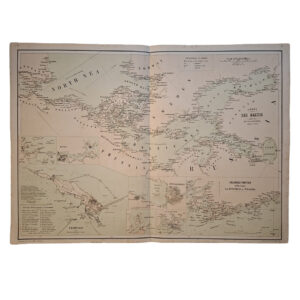
CHART OF THE BALTIC COMPILED FROM BRITISH AND CONTINENTAL ADMIRALTY CHARTS
£50.00A & C Black & Schenck & McFarlane
MIDDLE EAST AND NEAR EAST – PERSIA – ARABIA – TURKEY – EGYPT – WITH BOUNDARIES ROADS AND RAILWAYS – CONTOUR-COLOURED WORLD MAP SERIES – 1956
£45.00The Geographical Institute, Edinburgh
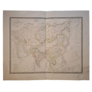
(North India, Hindustan) Carte De La Partie Superieure De L’Inde En Deca Du Gange
£45.00Bonne, Rigobert