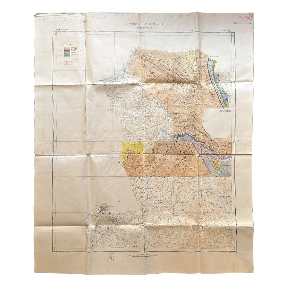
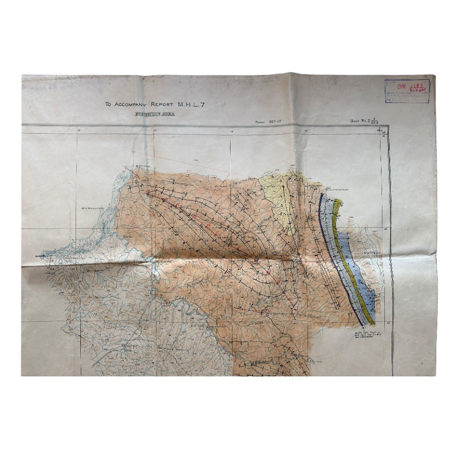
Iran – Persia – Qasr-i-Shirin Area. To Accompany Report M.H.L. 7 – Geological Map – 1929
Date: Season 1927–1928; registered April 1929
Sheet designation: Sheet No. 2 (F 6 & 10)
Corporate attribution: Anglo-Persian Oil Company (A.P.O.C.)
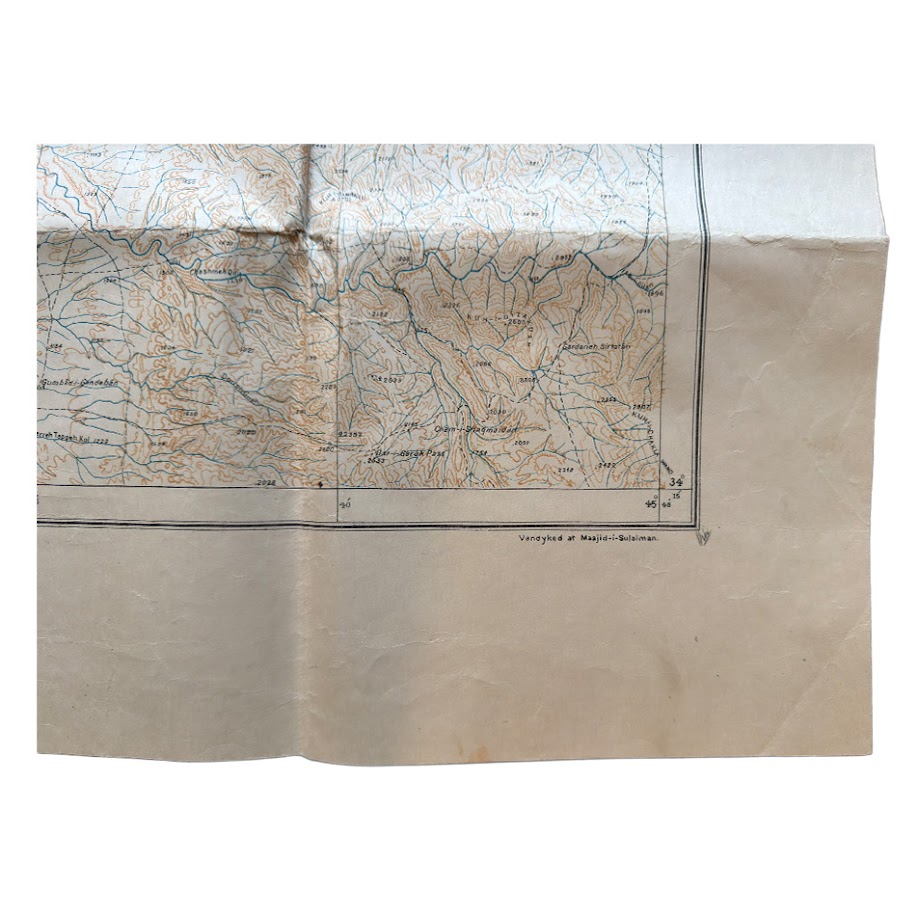
Production: Vandyked at Masjid-i-Sulaiman
Size: 90cm x 106.3cm
Physical Description
Large-format geological working map on thin paper, backed onto linen, folded.
The sheet comprises:
- Printed topographic base, including:
- Contours (brown/orange)
- Watercourses (blue)
- Settlement and infrastructure detail
- Hand-applied colour wash delineating geological formations
- Extensive manuscript geological annotations, including:
- Structural axes and fault lines (in black)
- Dip measurements (numerical values with directional ticks/arrows)
- Additional red pencil annotations in places
A printed legend panel identifies the following formations:
- Upper Bakhtiari
- Lower Bakhtiari
- Upper Fars
- Middle Fars
- Lower Fars
- Kuhur Limestone
- Eocene
Geographical Coverage (as shown)
The map is centred on Qasr-i-Shirin in western Iran.
Clearly legible mapped features include:
- Qasr-i-Shirin (principal settlement)
- Khanaqin (to the west)
- Naft Khana / Naft Khaneh oilfield area
- A.P.O.C. installations, including:
- “A.P.O.C. Shed and Store”
- “Ry. Station”
- Pipeline infrastructure, labelled:
- Refinery installation, labelled:
- Aerodrome (marked near Qasr-i-Shirin)
- River systems and valley networks
Geological Content (evidence)
The map presents:
- Coloured stratigraphic bands, including a prominent linear formation (purple/blue)
- Structural geology, including:
- Anticlines
- Synclines
- Fault lines
- Dip measurements (e.g. 15, 25, 40, 80 etc.) with directional indicators
A manuscript note reads (partially legible):
“Middle Fars taken as 300’ thick … and interpolated”
This confirms active geological interpretation applied to the base map.
Scale and Measurement
The sheet includes a printed scale and measurement system:
- Scale: 1 inch = 1 mile (1:63,360)
- Distance bar: marked in furlongs and miles (up to 3 miles shown)
- Contour interval: 100 feet
Documentary Markings
The sheet carries multiple administrative and production markings:
- “A.P.O.C. M.S. Reg. No. 86 – April, 1929”
(internal registration number and date)
- “Season 1927–28”
(fieldwork period)
- “Vandyked at Masjid-i-Sulaiman”
(place and method of reproduction)
- Geological Office stamp (purple):
“A.P.O.C. Masjid-i-Sulaiman”
With date: 8-4-30
- Sheet identification:
“Sheet No. 2 F 6 & 10”
Technical Note
“Vandyked” denotes reproduction by the Van Dyke photographic copying process, indicating that this sheet is a working reproduction copy, rather than a primary engraved or formally published map.
Content and Function (evidence-based)
The map is explicitly linked to:
- A numbered report (M.H.L. 7)
- A defined field season (1927–28)
- A subsequent registration date (1929)
- Continued office use (1930 stamp)
It records:
- Geological interpretation
- Structural measurements
- Infrastructure and operational features
Condition
- Folded, with multiple fold lines
- General toning and handling wear
- Localised creasing and minor abrasions
- All principal cartographic and geological information remains legible
- Some staining to the linen verso, not affecting the map
- In very good condition overall
Condition consistent with field and office use.
Rarity
No identical example of:
- Report M.H.L. 7 – Sheet No. 2 (Qasr-i-Shirin area)
has been identified in accessible catalogues or sales records.
Observable rarity factors:
- Early date (1927–30 working material)
- Direct association with a named internal report and field season
- Corporate registration and office stamp
- Hand-applied geological interpretation
- On-site reproduction at an oilfield centre
These indicate limited production and survival, particularly outside institutional archives.
Material combining:
- Early A.P.O.C. origin
- Internal report linkage
- Geological annotation
- Oilfield infrastructure depiction
is uncommon in the market.
Summary
A geological working map of the Qasr-i-Shirin area, issued as Sheet No. 2 to accompany Report M.H.L. 7, documenting observations from the 1927–28 field season, registered in April 1929, and stamped for geological office use in 1930. The sheet combines printed topography with hand-applied geological colouring and extensive manuscript structural annotation, and includes references to oilfield infrastructure and A.P.O.C. facilities. Reproduced at Masjid-i-Sulaiman, it represents a primary internal document from early oil exploration activity.
Location: HO: Drawer D: 003597
SHOP WITH CONFIDENCE AT HORNSEYS
At Hornseys, we are dedicated to offering items that uphold the highest standards of quality and authenticity. Our collection of artwork is carefully curated to ensure that each item we offer is authentic, collated, and complete.
Here’s what sets us apart:
- Authenticity and Provenance: Each map is researched and verified for authenticity.
- Expert Curation: We wholly own all our artworks. We trust our taste and have invested heavily in it. We have confidence in all artwork that we offer for sale.
- Customer Satisfaction: We strive to provide an exceptional customer experience, from detailed descriptions and provenance to secure and prompt delivery of your purchase.
- Returns Policy: We offer an unconditional guarantee on every item. If, however, you wish to make a return, artworks may be sent back to us within fourteen days of receipt for whatever reason. We request that we are notified in advance if you wish to do so. They must be returned to us in the same condition as they were sent for a full refund.
OUR COMMITMENT TO QUALITY AND SERVICE
Understanding the value and rarity of these items, we ensure that every aspect of your purchase meets the highest standards of quality and service. This includes:
- Free Expedited, Tracked, and Insured Delivery within the UK: Ensuring that your artwork arrives safely and promptly.
- Fully-Insured Worldwide Delivery: Offering peace of mind for international collectors with reliable and secure shipping options.
EXPLORE OUR COLLECTION
Visit Hornseys today to explore our fine collection of maps and other artworks. Whether you are an avid collector or looking for a special gift, our selection offers something truly unique. Located since 1976 in Ripon in the picturesque Yorkshire Dales, we are recognized as a destination gallery for tastefully curated artwork, rare maps, design, and fine books.