
Showing 1–32 of 131 resultsSorted by latest
-

Tobruch [Tobruk] — Manuscript Anti-Aircraft Defence Map with Gunner’s AA Range & Height Calculating Chart — c. November–December 1942
£1,500.00Tobruch (Tobruk) & Bowen, Gunner J. H
-
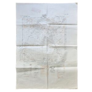
Moyale – East Africa 1:500,000. E.A.F. No. 1707. Third Edition. Nairobi, 1949
£85.00East African Survey Group / East African Forces
-

-
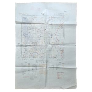
Lake Rudolf – Northern Kenya & Southern Ethiopia – East African Forces Map – E.A.F. 1706 – 1949
£95.00East African Survey Group / East African Forces
-
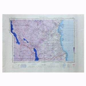
Tanganyika – British Second World War Army/Air Military Map – GSGS 2871 – 1944
£95.00Geographical Section, General Staff / War Office
-

Upper Egypt, Red Sea & Western Arabia – Restricted British Military & RAF Map – GSGS 2871 – 1944
£165.0017 Map Reproduction Section, Royal Engineers & Headquarters, Royal Air Force, Middle East
-

Aswan, Egypt & Red Sea – British Military Map – Series 1301 NG-36 – 1960
£165.00Directorate of Survey, War Office and Air Ministry & No. 1 Survey Production Centre, Royal Engineers.
-

Jinja & Environs, Uganda – Second World War Military Survey Map – King’s African Rifles Cantonment – 1945
£325.00157 (East Africa & Southern Rhodesia) Base Survey Company, East African Engineers.
-

Mapa Geológico de España – África, Cádiz, Málaga – Hoja No. 59 – 1949
£95.00Comisión del Mapa Geológico & Manuel Fernández de Castro
-
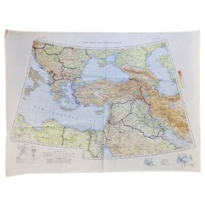
The Near and Middle East – British War Office Strategic Map – G.S.G.S. No. 4108 – 1941
£175.00War Office / Geographical Section, General Staff
-
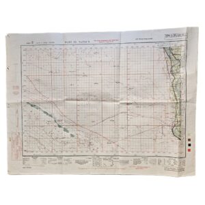
Wadi el Natrun, Egypt – British Army Military Map Printed on the Reverse of a Cancelled German Sidi Barrani Map – 512 Field Survey Company, Royal Engineers – 1942
£225.00512 Field Survey Company, Royal Engineers
-
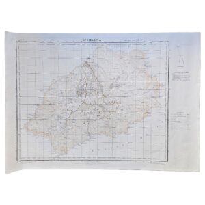
St Helena – G.S.G.S. No. 1853A – Second Edition dated 1941 – Ordnance Survey Printing of 500 Copies – 1959
£495.00War Office / Geographical Section, General Staff & The Ordnance Survey
-
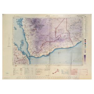
Aden – Second World War Military and Aeronautical Map of the Aden Protectorate, Yemen and Hadhramaut – 1945
£795.00Geographical Section, General Staff / War Office
-
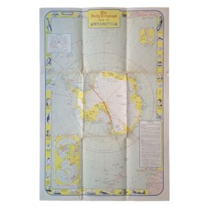
-
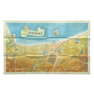
Banias – Iraq Petroleum Company Limited – Sea Terminal of the Kirkuk–Banias Pipeline – 1952
£500.00Iraq Petroleum Company Limited
-
-
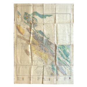
Persia – A.P.O.C. Geological Map Of South-West Iran – Zagros Oilfields – Sheet No. 10 I & 10 J – 1929
£500.00Cornes, H & Anglo-Persian Oil Company (A.P.O.C.)
-
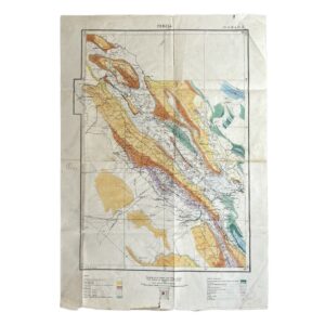
Persia. No. 9 H.E. 10.E – Geological Map Of South-West Iran Including The Masjid-I-Sulaiman And Haft Kel Oil Regions – 1929
£950.00Cornes, H & Anglo-Persian Oil Company (A.P.O.C.)
-
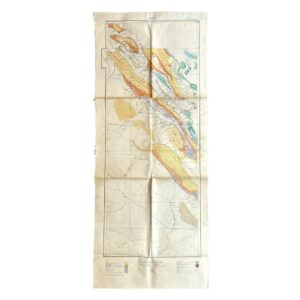
Persia. No. 9 H.E. 10.E – Geological Map Of South-West Iran Including The Masjid-I-Sulaiman And Haft Kel Oil Regions – 1929/35
£950.00Cornes, H & Anglo-Persian Oil Company (A.P.O.C.)
-
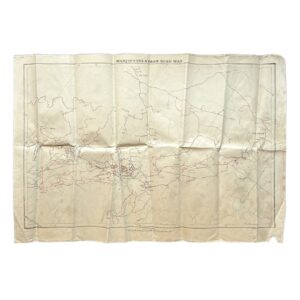
Iran – Persia – Masjid-i-Sulaiman Road Map – South-West Iran – Khuzestan Province – Masjid-i-Sulaiman Oilfield District – c.1949-54
£750.00Anglo-Iranian Oil Company (A.I.O.C.)
-
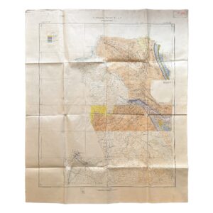
Iran – Persia – Qasr-i-Shirin Area. To Accompany Report M.H.L. 7 – Geological Map – 1929
£2,000.00Anglo-Persian Oil Company
-
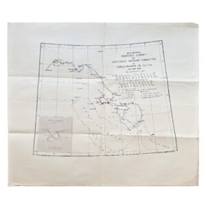
Iran – Map Showing Proposed Journey By Geological Advisory Committee Of Anglo-Iranian Oil Co. Ltd., Autumn 1936
£1,800.00Geological Advisory Committee (Iran)
-

-

-
-

-

-
-
-
-
-

Spanning East Africa – Standard-Vacuum Road Map – Tanganyika – Kenya And Uganda
£95.00Standard-Vacuum Oil Company (East Africa) Limited