Tanganyika – British Second World War Army/Air Military Map – GSGS 2871 – 1944
Description:
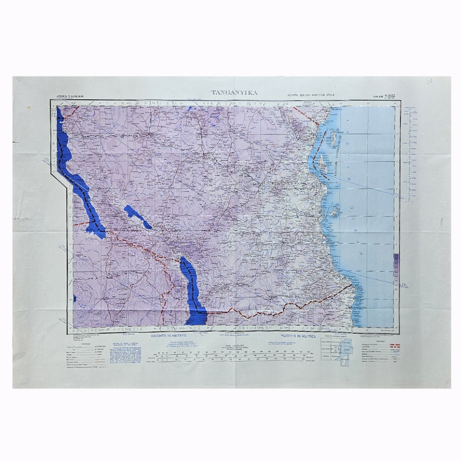
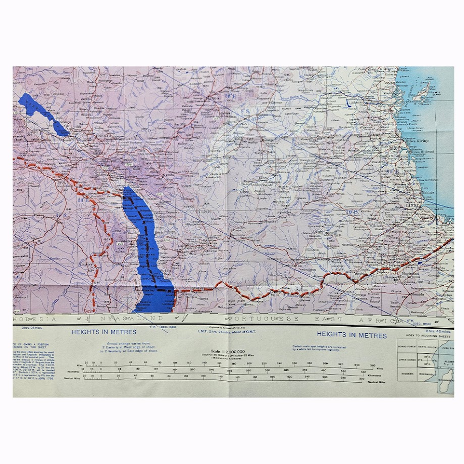
A scarce Second World War British military and air-navigation map of Tanganyika, now mainland Tanzania, issued at the scale of 1:2,000,000 as part of the important War Office Africa GSGS 2871 series. Designated South B36-37 / C36-37, this is the Fourth Edition, Army/Air Style, brought to fourth-edition status in 1943 and printed in February 1944.
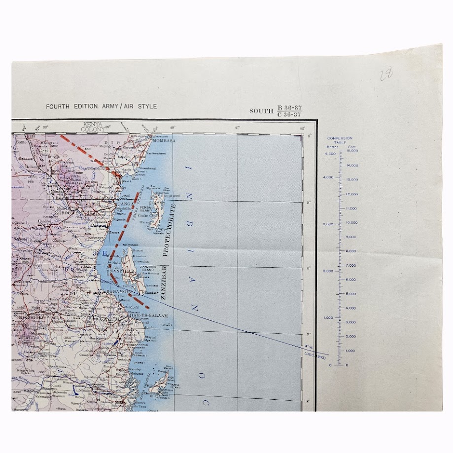
The map gives extensive coverage of Tanganyika from its western frontiers and the great African lakes eastwards to the Indian Ocean, encompassing a remarkably broad cross-section of East African geography. Lake Tanganyika dominates the western edge, while Lake Nyasa, now Lake Malawi, appears prominently in the south-west. The map extends across the central plateau through Tabora and Dodoma to the Indian Ocean coast and includes Dar es Salaam, Tanga, Kilwa, Lindi and Mtwara, together with the islands and channels associated with Zanzibar and the East African coast.
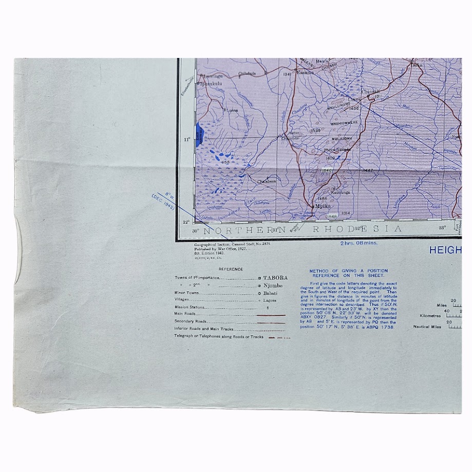
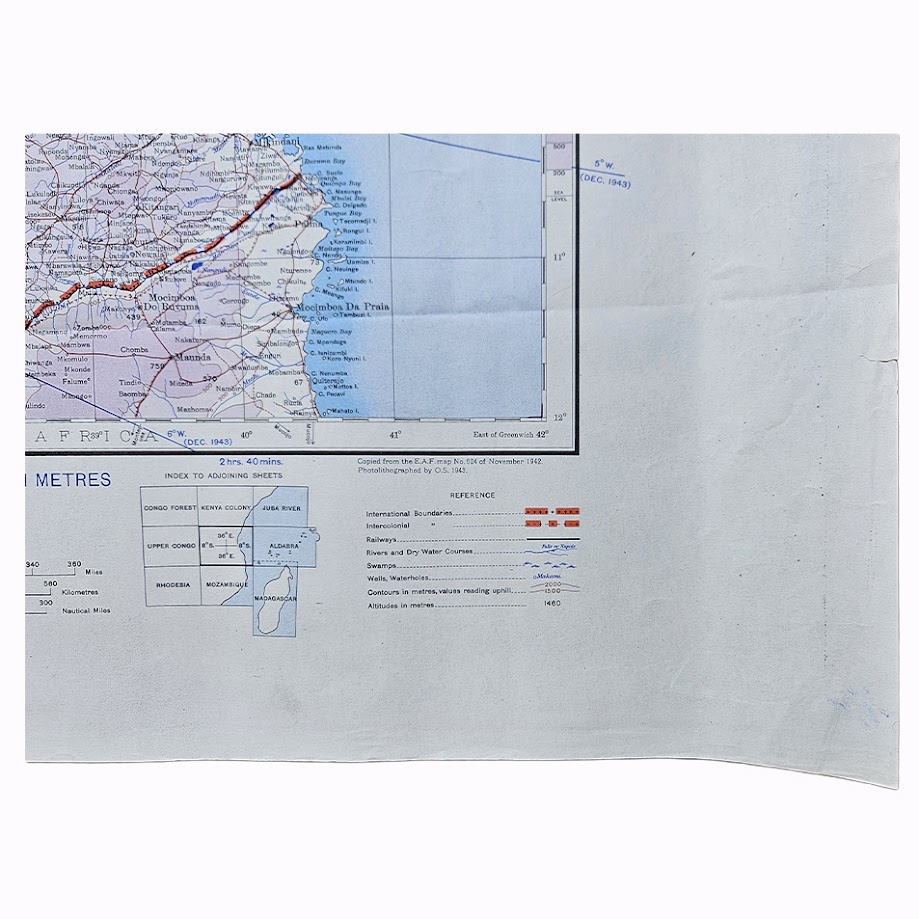
The cartography records railways, principal and secondary roads, tracks, telegraph routes, towns, villages, mission stations, rivers, watercourses and wells, with altitude represented through layer colouring, spot heights and other relief information. International and intercolonial boundaries are clearly distinguished. The resulting sheet provides an unusually comprehensive wartime picture of Tanganyika’s communications, settlement pattern and physical geography.
Its production history is particularly well documented. The original GSGS 2871 Tanganyika sheet was published by the War Office in 1927. The present Fourth Edition was prepared in 1943, drawing upon East African Forces Map No. 624 of November 1942, and was photolithographed by the Ordnance Survey in 1943 before being issued in Army/Air style in February 1944. The sheet was specifically extended westwards for Tanganyika, giving it coverage tailored more closely to the territory than earlier general African mapping.
The map belongs to a cartographic programme of considerable wartime importance. During the East African campaign the British authorities retained GSGS 2871 at 1:2,000,000 as the standard general military map series for Africa. Larger-scale sheets served tactical requirements, while maps such as this provided the broader geographical framework necessary for planning transport, communications, logistics and air movements across very large areas.
By 1944 the principal East African land campaign against Italian forces had long since concluded, but Tanganyika remained strategically important within the Allied communications network connecting eastern and southern Africa, the Indian Ocean and the Middle Eastern theatre. The Army/Air Style reflects that continuing operational purpose rather than civilian map production.
The map is also a significant historical record of British-administered Tanganyika before independence and before the formation of modern Tanzania. Place names, colonial boundaries, roads, railways and settlement patterns preserve the geography of the territory during the later years of the Second World War.
Institutional records establish this exact issue securely. The British Library preserves an example of the Fourth Edition 1943, printed Army/Air Style 1944 dating from February 1944. Wider institutional collections contain wartime GSGS 2871 sheets, but this precise Tanganyika issue is not conspicuous in present commercial circulation. It is therefore best described as scarce in commerce rather than rare.
Condition
Very good. Original horizontal and vertical fold lines with light general handling and some minor marginal creasing. A small closed tear or nick is visible towards the right margin, with occasional minor marks consistent with wartime storage and use. The mapped area remains complete and exceptionally clear, with strong blue, purple, red and black printing and well-preserved altitude colouring.
Maker
Geographical Section, General Staff / War Office. Photolithographed by the Ordnance Survey
Series: Africa 1:2,000,000 – GSGS 2871
Sheet: South B36-37 / C36-37 – Tanganyika
Edition: Fourth Edition, Army/Air Style
Date: 1944
Cartographic History: Fourth Edition 1943; copied from E.A.F. Map No. 624 of November 1942; photolithographed by the Ordnance Survey in 1943; printed February 1944
Scale: 1:2,000,000
Sheet Size: Approximately 63.4 × 88.8 cm
Area Shown: Tanganyika, Lake Tanganyika, Lake Nyasa, Tabora, Dodoma, Dar es Salaam, Tanga, Zanzibar, the Indian Ocean coast and adjoining areas of East and Central Africa
Location
Tube B: Africa
Historical Context and Rarity
The strength of this map lies in the combination of its Second World War date, Army/Air format, extensive Tanganyika coverage and documented East African military cartographic lineage.
GSGS 2871 was one of the fundamental British strategic mapping series of Africa during the Second World War. This 1944 issue represents the mature wartime form of that programme and incorporates updated East African Forces cartography prepared during the conflict.
The British Library records the precise issue so it would be inappropriate to describe the map as intrinsically rare. Nevertheless, wartime maps were working documents subject to heavy use, disposal and replacement, and examples of this exact Tanganyika printing do not appear frequently in current commerce. Scarce is therefore our appropriate description.
SHOP WITH CONFIDENCE AT HORNSEYS
At Hornseys, we are dedicated to offering items that uphold the highest standards of quality and authenticity. Our collection of artwork is carefully curated to ensure that each item we offer is authentic, collated, and complete.
Here’s what sets us apart:
- Authenticity and Provenance: Each map is researched and verified for authenticity.
- Expert Curation: We wholly own all our artworks. We trust our taste and have invested heavily in it. We have confidence in all artwork that we offer for sale.
- Customer Satisfaction: We strive to provide an exceptional customer experience, from detailed descriptions and provenance to secure and prompt delivery of your purchase.
- Returns Policy: We offer an unconditional guarantee on every item. If, however, you wish to make a return, artworks may be sent back to us within fourteen days of receipt for whatever reason. We request that we are notified in advance if you wish to do so. They must be returned to us in the same condition as they were sent for a full refund.
OUR COMMITMENT TO QUALITY AND SERVICE
Understanding the value and rarity of these items, we ensure that every aspect of your purchase meets the highest standards of quality and service. This includes:
- Free Expedited, Tracked, and Insured Delivery within the UK: Ensuring that your artwork arrives safely and promptly.
- Fully-Insured Worldwide Delivery: Offering peace of mind for international collectors with reliable and secure shipping options.
EXPLORE OUR COLLECTION
Visit Hornseys today to explore our fine collection of maps and other artworks. Whether you are an avid collector or looking for a special gift, our selection offers something truly unique. Located since 1976 in Ripon in the picturesque Yorkshire Dales, we are recognized as a destination gallery for tastefully curated artwork, rare maps, design, and fine books.