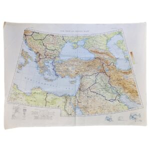
U.S.S.R. and Adjacent Areas – G.S.G.S. 4625 – Second Edition – Ordnance Survey, 1953
A large and visually impressive British military map of the Soviet Union and surrounding territories, issued by the War Office as G.S.G.S. 4625, U.S.S.R. and Adjacent Areas, Second Edition, and reproduced by the Ordnance Survey in 1953.
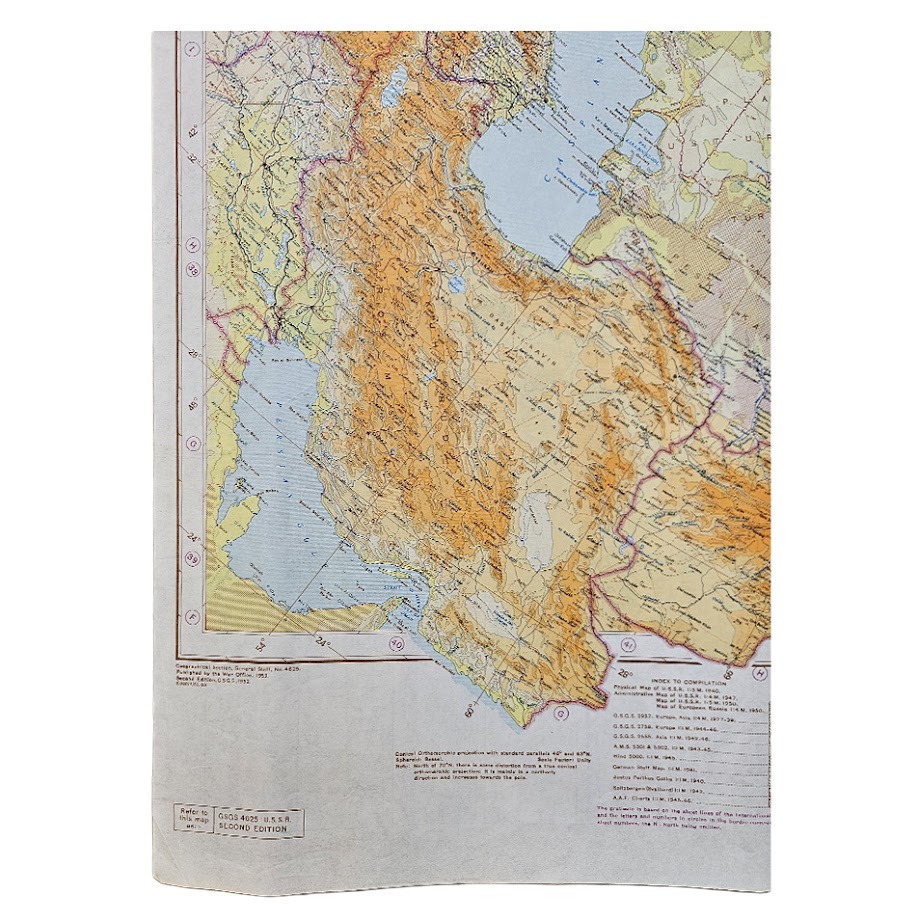
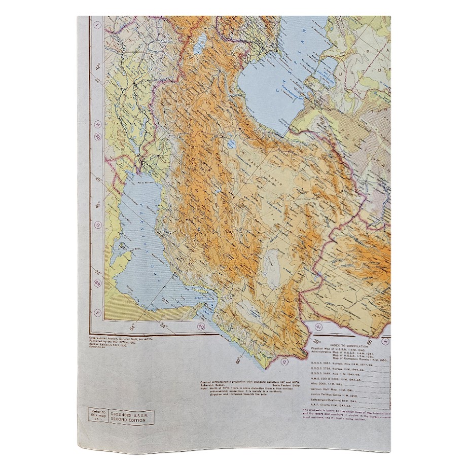
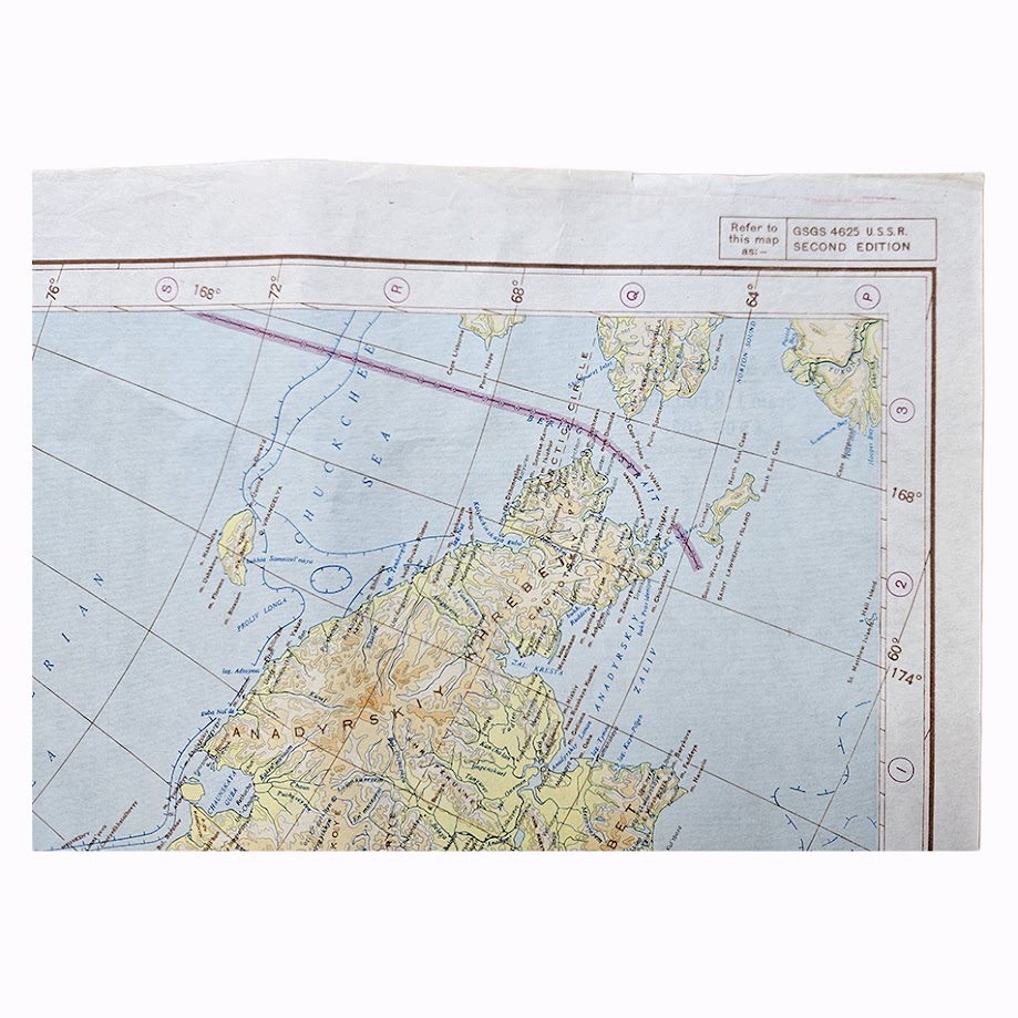
Published at the small continental scale of 1:8,000,000, the map encompasses virtually the whole of the Soviet Union together with extensive adjoining territories, extending from Eastern Europe and the Baltic in the west across European Russia, Siberia and Central Asia to the Pacific coast, Kamchatka and the Bering region in the east. To the south are the Caucasus, Caspian Sea, northern Iran, Afghanistan, Mongolia, Manchuria, Korea and northern China, while the Arctic territories extend across the upper portion of the sheet.
The physical geography is particularly striking. Mountain systems are represented through graduated hypsometric colouring, with the Caucasus, Hindu Kush, Pamirs, Tien Shan, Altai and other major ranges standing out prominently against the predominantly green lowlands of Russia and western Siberia. Seas and major inland waters are printed in blue, producing an exceptionally attractive cartographic image at this large sheet size.
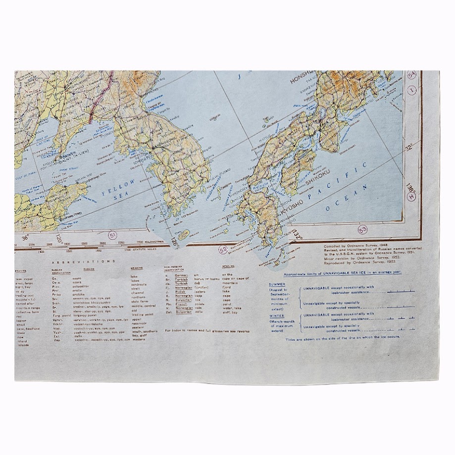
The map was originally compiled by the Ordnance Survey in 1948. According to the printed revision statement, it was subsequently revised and transferred to the U.S. G.S.G.S. system by the Ordnance Survey in 1951, received minor revision in 1952, and was reproduced by the Ordnance Survey in 1953. It is specifically designated on the sheet as G.S.G.S. 4625 – U.S.S.R. – Second Edition.
The compilation incorporated an unusually broad range of cartographic intelligence. The printed index to sources identifies British G.S.G.S. mapping, American Army Map Service mapping, Soviet material and other European sources. This synthesis reflects the extensive Western effort during the early Cold War to assemble reliable geographic information for the enormous Soviet landmass from material of widely differing origins and dates.
The date is particularly interesting. Issued in 1953, the year of Stalin’s death and at an early stage of the Cold War, the map predates the later comprehensive revision of Soviet administrative and transportation information undertaken during the later 1950s. It therefore records Western military geographical knowledge of the Soviet Union at an important transitional moment.
The lower margin contains extensive explanatory information and abbreviations, while the map also records the approximate seasonal limits of unnavigable sea ice. The breadth of its geographical coverage, substantial dimensions and detailed relief colouring make it considerably more visually arresting than many utilitarian military maps of the period.
The original 1948 first edition of G.S.G.S. 4625 is represented in institutional map collections. Later revised editions of U.S.S.R. and Adjacent Areas are also documented, demonstrating the continuing military importance of the mapping programme. The present 1953 Second Edition appears substantially less frequently in the present commercial market than either the first edition or later Cold War revisions.
Condition: Very good overall for a large working military map of this period. Original folding creases as issued and light handling and creasing consistent with use and storage. Minor marginal wear. Colours remain strong and clear and the extensive cartographic detail is well preserved. Please refer to the photographs for a full visual assessment.
Cartographer / Publisher: Geographical Section, General Staff / War Office; compiled, revised and reproduced by the Ordnance Survey.
Series: G.S.G.S. 4625.
Edition: Second Edition.
Date: 1953
Scale: 1:8,000,000.
Sheet Size: Approximately 84.4 × 113 cm.
Material: Colour-printed paper map.
Construction: Single large folding sheet, printed in colour, with marginal explanatory text, source information, abbreviations and sea-ice information.
Historical Context
G.S.G.S. maps formed part of the systematic military cartographic programme maintained by the British General Staff. Following the Second World War, Soviet geography became increasingly important to British and allied military planning. Reliable mapping of the USSR presented particular difficulties because of the immense territory involved and restricted access to contemporary Soviet geographical information.
This map therefore represents more than a general geographical survey. Its combination of Soviet, British, American and continental mapping sources belongs to the developing Cold War intelligence infrastructure of the late 1940s and early 1950s. The revision sequence from 1948 through 1953 also demonstrates how quickly geographical information was being assessed and incorporated.
The map’s 1953 date gives it additional historical resonance. It records the Soviet Union at the end of the Stalin era, before the subsequent political, administrative and infrastructural changes associated with the Khrushchev period.
Rarity
G.S.G.S. 4625 is documented in institutional collections, particularly in its 1948 first edition, and later successors of U.S.S.R. and Adjacent Areas are also recorded. The precise 1953 Second Edition, however, appears significantly less readily encountered in institutional digitisation and should therefore be regarded as commercially scarce in this edition, rather than as an otherwise unrecorded or exceptionally rare map.
Its desirability rests on a particularly strong combination of factors: exceptionally broad Soviet coverage, large format, attractive hypsometric colouring, an early Cold War date, British military production and the identifiable 1948–1953 revision history.
Location: Tube A: Asia
SHOP WITH CONFIDENCE AT HORNSEYS
At Hornseys, we are dedicated to offering items that uphold the highest standards of quality and authenticity. Our collection of artwork is carefully curated to ensure that each item we offer is authentic, collated, and complete.
Here’s what sets us apart:
- Authenticity and Provenance: Each map is researched and verified for authenticity.
- Expert Curation: We wholly own all our artworks. We trust our taste and have invested heavily in it. We have confidence in all artwork that we offer for sale.
- Customer Satisfaction: We strive to provide an exceptional customer experience, from detailed descriptions and provenance to secure and prompt delivery of your purchase.
- Returns Policy: We offer an unconditional guarantee on every item. If, however, you wish to make a return, artworks may be sent back to us within fourteen days of receipt for whatever reason. We request that we are notified in advance if you wish to do so. They must be returned to us in the same condition as they were sent for a full refund.
OUR COMMITMENT TO QUALITY AND SERVICE
Understanding the value and rarity of these items, we ensure that every aspect of your purchase meets the highest standards of quality and service. This includes:
- Free Expedited, Tracked, and Insured Delivery within the UK: Ensuring that your artwork arrives safely and promptly.
- Fully-Insured Worldwide Delivery: Offering peace of mind for international collectors with reliable and secure shipping options.
EXPLORE OUR COLLECTION
Visit Hornseys today to explore our fine collection of maps and other artworks. Whether you are an avid collector or looking for a special gift, our selection offers something truly unique. Located since 1976 in Ripon in the picturesque Yorkshire Dales, we are recognized as a destination gallery for tastefully curated artwork, rare maps, design, and fine books.