South Russia – G.S.G.S. 2957, Sheet 20 – Third Edition – War Office Map
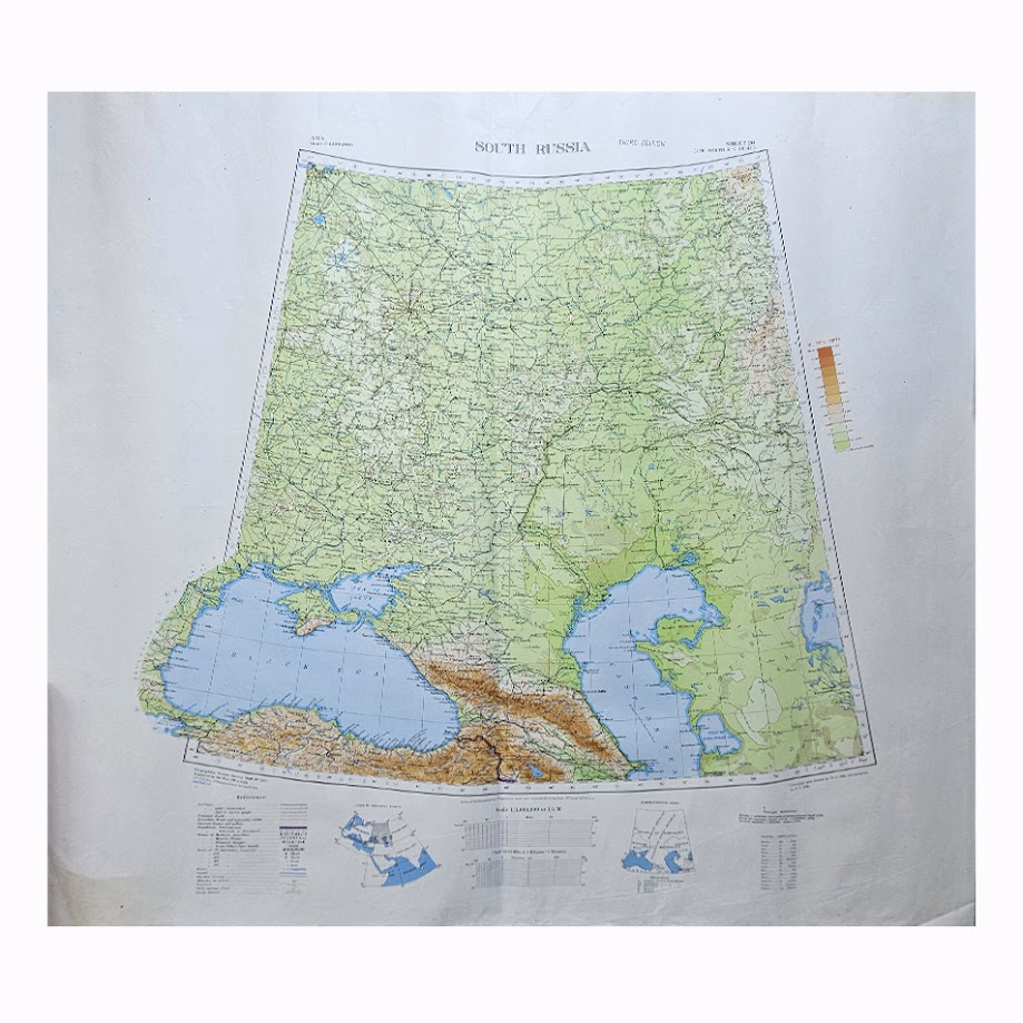
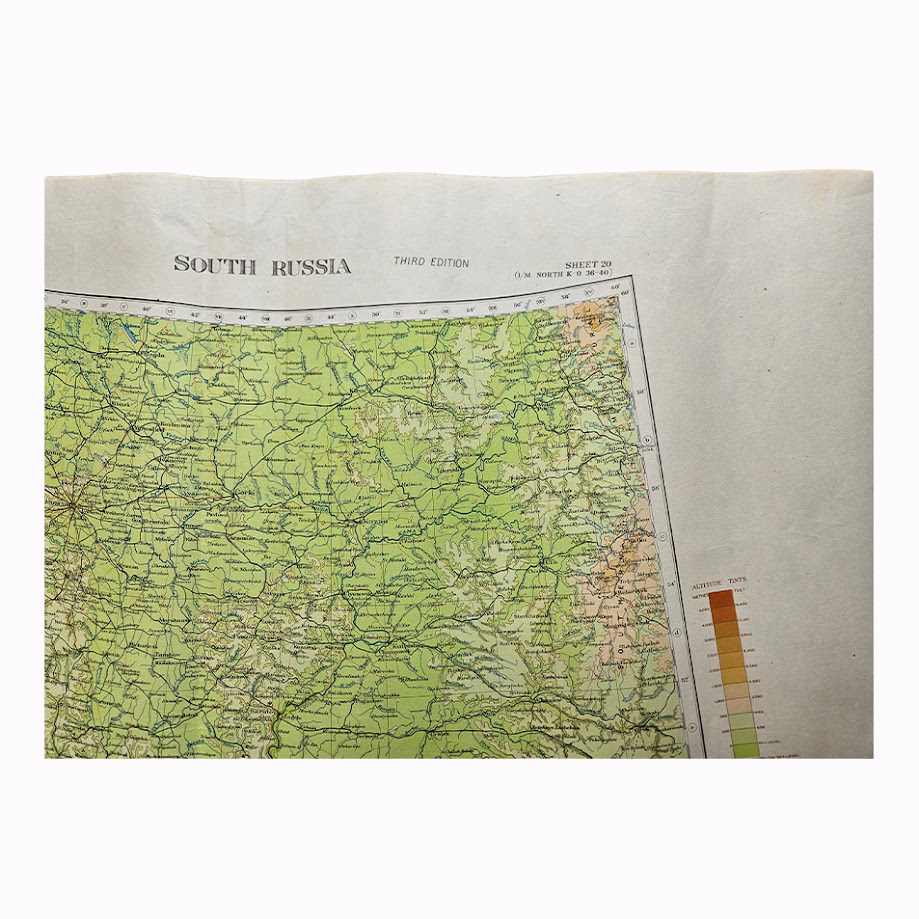
An impressive large-format British War Office map of southern Russia and the Black Sea region, published as Sheet 20 of the Geographical Section, General Staff series G.S.G.S. 2957 at the scale of 1:4,000,000. This is the Third Edition, with communications revised in 1941, produced during the Second World War at a moment when the geography represented here was of exceptional strategic importance.
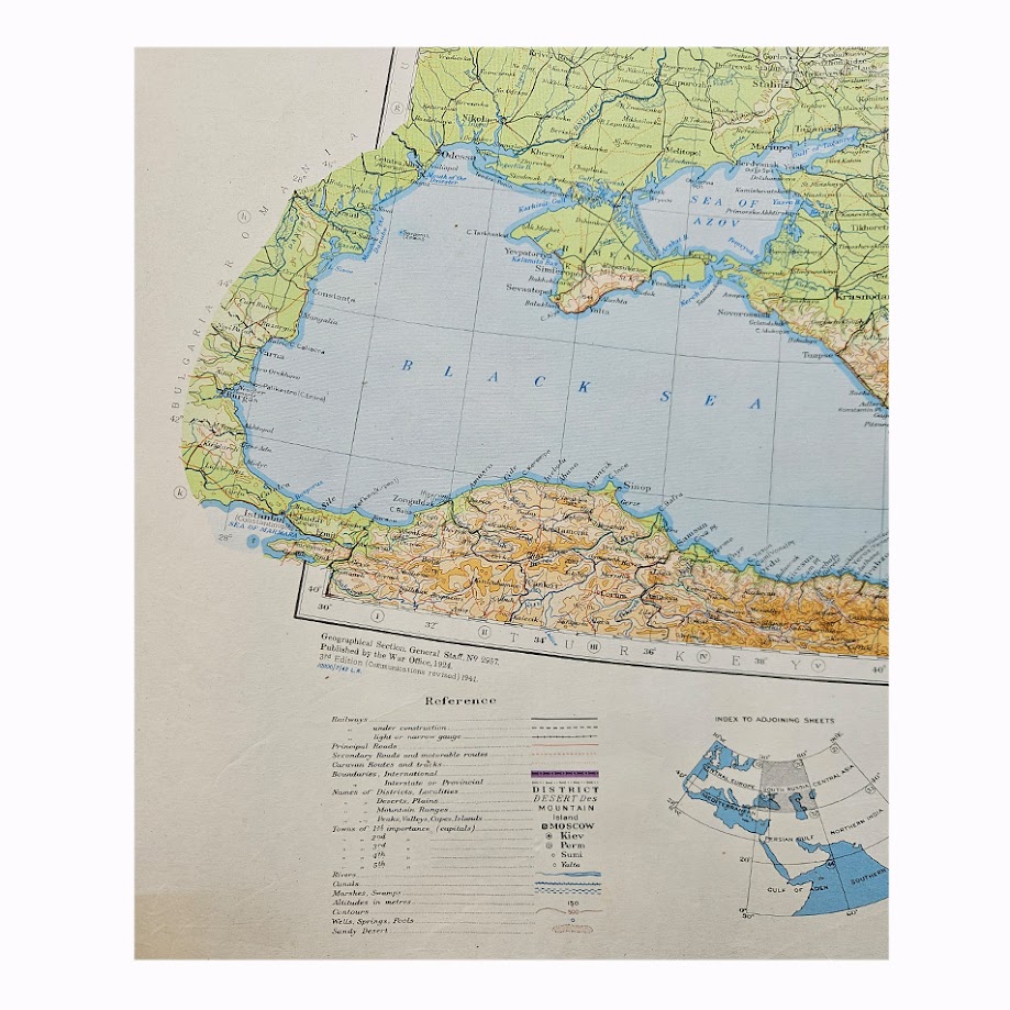
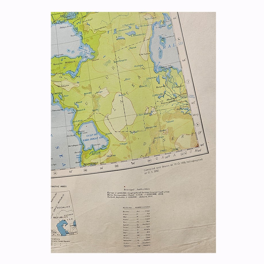
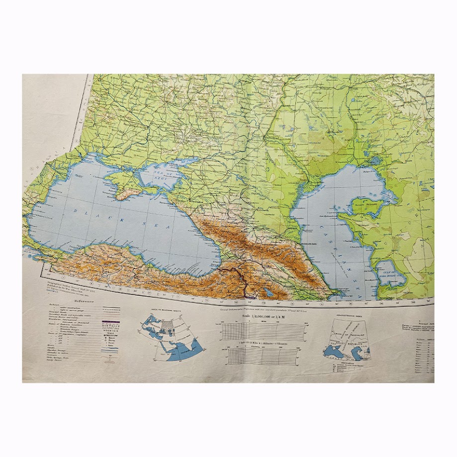
The map encompasses an extensive area of the western Soviet Union and adjoining territories, extending from the Black Sea and the Turkish coast northwards across Ukraine and southern Russia and eastwards towards the Caspian and the Ust-Urt region. The Black Sea occupies a commanding position within the lower portion of the sheet, with the Crimea prominently delineated and the Caucasus represented in particularly attractive shaded relief. Major towns, railways, roads, rivers, administrative divisions and other communications are shown throughout.
Of particular visual and historical interest is the map’s coverage of the Black Sea theatre. The Crimea, Sevastopol, the Sea of Azov, Rostov region, Caucasus and approaches towards the Caspian all feature within a single large geographical composition. In the context of 1941 these were becoming areas of major military significance as German operations expanded eastwards following the invasion of the Soviet Union in June of that year.
The map belongs to the long-running British military mapping series G.S.G.S. 2957, produced by the Geographical Section, General Staff. The sheet was originally issued in the inter-war period and progressively revised as communications and geographical information changed. This Third Edition records communications revised in 1941, making it a distinct wartime state rather than simply a reissue of the earlier mapping.
The underlying map was compiled and drawn at the War Office in 1939 and heliographed at the Ordnance Survey in 1940. The detailed lower margin incorporates the reference key, scale, administrative index and index to adjoining sheets. The combination of coloured hypsometric relief, blue hydrography and finely printed transport information gives the map considerable decorative presence in addition to its historical significance.
Institutional catalogues confirm the importance and longevity of the G.S.G.S. 2957 series, although individual wartime editions and revision states of South Russia are much less frequently encountered on the open market. Earlier states are represented in major cartographic collections, while the precise Third Edition wartime state is noticeably less common commercially.
A substantial and attractive example of British wartime strategic cartography, particularly desirable for its coverage of the Black Sea, Crimea, southern Russia, Ukraine, the Caucasus and the approaches to the Caspian.
Condition: Very good overall. Folded as issued or for operational/storage purposes, with the expected fold creasing and light handling associated with a large working map of this period. Minor age-related wear and creasing, principally towards the margins and folds. The printed area remains strong, clean and highly legible, with particularly good retention of the original colour. Please refer to the accompanying photographs for a detailed visual record of condition.
Maker: Geographical Section, General Staff, War Office, London.
Series: G.S.G.S. 2957.
Sheet: Sheet 20.
Edition: Third Edition.
Date: Compiled and drawn at the War Office in 1939; heliographed at the Ordnance Survey in 1940; communications revised 1941.
Scale: 1:4,000,000.
Sheet Size: Approximately 74.5 × 85.5 cm.
Area Shown: Southern Russia, Ukraine, the Black Sea, Crimea, Sea of Azov, Caucasus, Caspian region and adjoining territories.
Location: Tube A: Asia.
Historical Context
The timing of this edition is particularly significant. By 1941 the Black Sea, Ukraine, Crimea and Caucasus had become central to German and Soviet military planning. Following Operation Barbarossa, transport corridors, railways, river systems and the approaches to the Caucasian oil-producing regions became strategically critical. A British War Office map revised specifically for communications in 1941 therefore represents more than a general geographical sheet: it is part of the cartographic infrastructure by which Allied planners understood the Soviet theatre during the opening phase of the German-Soviet war.
Rarity and Collectability
G.S.G.S. 2957 was an established War Office mapping series and institutional examples survive, so it would be misleading to describe the map type itself as exceptionally rare. However, survival is markedly more limited when the comparison is narrowed to Sheet 20, South Russia, in this Third Edition wartime state with communications revised in 1941. Earlier editions are more readily documented, while original copies of this particular state appear infrequently in the commercial market.
Its desirability is strengthened by the unusually broad conjunction of collecting interests: Second World War military cartography, Russia and Ukraine, Crimea, the Caucasus, Black Sea history, British War Office mapping and geopolitical history.
SHOP WITH CONFIDENCE AT HORNSEYS
At Hornseys, we are dedicated to offering items that uphold the highest standards of quality and authenticity. Our collection of artwork is carefully curated to ensure that each item we offer is authentic, collated, and complete.
Here’s what sets us apart:
- Authenticity and Provenance: Each map is researched and verified for authenticity.
- Expert Curation: We wholly own all our artworks. We trust our taste and have invested heavily in it. We have confidence in all artwork that we offer for sale.
- Customer Satisfaction: We strive to provide an exceptional customer experience, from detailed descriptions and provenance to secure and prompt delivery of your purchase.
- Returns Policy: We offer an unconditional guarantee on every item. If, however, you wish to make a return, artworks may be sent back to us within fourteen days of receipt for whatever reason. We request that we are notified in advance if you wish to do so. They must be returned to us in the same condition as they were sent for a full refund.
OUR COMMITMENT TO QUALITY AND SERVICE
Understanding the value and rarity of these items, we ensure that every aspect of your purchase meets the highest standards of quality and service. This includes:
- Free Expedited, Tracked, and Insured Delivery within the UK: Ensuring that your artwork arrives safely and promptly.
- Fully-Insured Worldwide Delivery: Offering peace of mind for international collectors with reliable and secure shipping options.
EXPLORE OUR COLLECTION
Visit Hornseys today to explore our fine collection of maps and other artworks. Whether you are an avid collector or looking for a special gift, our selection offers something truly unique. Located since 1976 in Ripon in the picturesque Yorkshire Dales, we are recognized as a destination gallery for tastefully curated artwork, rare maps, design, and fine books.