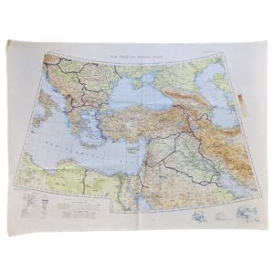
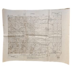
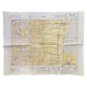
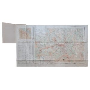
Upper Egypt, Red Sea & Western Arabia – Restricted British Military & RAF Map – GSGS 2871 – 1944
Description:
A scarce Second World War British military and air-navigation map of Upper Egypt, the Red Sea and western Arabia, extending from the Nile Valley and Egyptian Western Desert eastwards across the Red Sea to the Hejaz, including the approaches to Jeddah, Mecca and Medina, and southwards into the Sudan. Issued in the War Office Africa 1:2,000,000 series, GSGS 2871, this is the Third Edition, Army/Air Style, originally brought to third-edition status in 1943 and reproduced by 17 Map Reproduction Section, Royal Engineers, in March 1944, with air information supplied by Headquarters, Royal Air Force, Middle East, in April 1944. The sheet bears the military classification “RESTRICTED” and the reference M.D.R. 538/10454.
The map is particularly notable for combining conventional topographical information with material specifically intended for wartime aviation. In addition to towns, villages, roads, railways, tracks, wells, oases, relief and international boundaries, the red overprint identifies airfields, landing grounds, seaplane stations, seaplane alighting areas and lines of equal magnetic variation, making the sheet an operational Army/RAF document rather than simply a general geographical map.
The geographical coverage is unusually extensive and strategically important. The Nile valley runs southwards through Aswan towards the Sudan frontier, while the eastern half of the sheet encompasses the Red Sea and the western Arabian coast. The Hejaz is shown in considerable detail, including the communications linking Jeddah and Mecca with the interior, while the Egyptian Red Sea coast, desert routes and numerous landing facilities are also recorded. This combination reflects the wartime importance of the Red Sea as a communications corridor linking Egypt, Sudan, Arabia and the wider Middle Eastern theatre.
The underlying cartography had been compiled, drawn and heliographed by the Ordnance Survey in 1937. The British Library records the 1943 Third Edition of Sheet North F36-37/G36-37 as GSGS 2871, while the Australian War Memorial holds the exact later issue represented here: reproduced by 17 Map Reproduction Section, Royal Engineers, in March 1944, with RAF Middle East air information revised in April 1944 and the identical reference M.D.R. 538/10454.
The Australian War Memorial describes the sheet as covering south-eastern Egypt and adjoining regions from Asyut southwards to Delgo in Sudan and from Kharga eastwards to Medina in Saudi Arabia, recording landing grounds, roads, railways, forts, temples, oases and water sources, with relief shown through contours, gradient tints and spot heights.
Institutional records demonstrate a sequence of Upper Egypt sheets dating from the original 1937 War Office issue through wartime revisions in 1942, 1943 and 1944. The precise March/April 1944 issue is securely identified institutionally but appears only infrequently in ordinary commercial circulation. It is therefore appropriately described as scarce, particularly as an original wartime Army/RAF sheet retaining its full colour and marginal information.
Condition
Very good. Original horizontal and vertical fold lines with light general handling and some minor creasing, principally to the margins. Small incidental marks and light surface wear consistent with military storage and use. The sheet remains complete, clean and highly legible, with strong blue, red, purple and black printing. No significant loss or intrusive later annotation apparent.
Maker: War Office / Ordnance Survey. Reproduced by 17 Map Reproduction Section, Royal Engineers. Air information supplied by Headquarters, Royal Air Force, Middle East.
Series: Africa 1:2,000,000 – GSGS 2871
Sheet: North F36-37 / G36-37 – Upper Egypt
Edition: Third Edition, Army/Air Style, 1943; reproduced March 1944
Air Information: Revised April 1944
Reference: M.D.R. 538/10454
Military Classification: Restricted
Date: 1944
Scale: 1:2,000,000
Sheet Size: Approximately 63.9 × 76.6 cm
Area Shown: Upper Egypt, Aswan, the Nile Valley, Eastern Desert, Red Sea, Sudan frontier and western Saudi Arabia including the Hejaz
Location
Tube C: Middle East
Historical Importance and Rarity
The sheet is considerably more interesting than a standard regional topographical map because the Army/Air Style incorporates operational aviation information supplied by RAF Middle East during the Second World War. Airfields, landing grounds and other facilities are integrated directly into the geographical framework, recording the military infrastructure of Egypt, the Red Sea and western Arabia during 1944.
Its broad geographical coverage also gives it strong collecting appeal. Egypt, Aswan, the Red Sea and the Hejaz appear together on a single sheet at a moment when the region was central to British imperial and Allied wartime communications.
The exact 1944 issue is institutionally recorded, but does not appear commonly in present commercial circulation. We would therefore describe it as scarce rather than rare: the series was produced in meaningful military quantities, but survival of individual sheets in clean, complete condition is substantially more limited.
SHOP WITH CONFIDENCE AT HORNSEYS
At Hornseys, we are dedicated to offering items that uphold the highest standards of quality and authenticity. Our collection of artwork is carefully curated to ensure that each item we offer is authentic, collated, and complete.
Here’s what sets us apart:
- Authenticity and Provenance: Each map is researched and verified for authenticity.
- Expert Curation: We wholly own all our artworks. We trust our taste and have invested heavily in it. We have confidence in all artwork that we offer for sale.
- Customer Satisfaction: We strive to provide an exceptional customer experience, from detailed descriptions and provenance to secure and prompt delivery of your purchase.
- Returns Policy: We offer an unconditional guarantee on every item. If, however, you wish to make a return, artworks may be sent back to us within fourteen days of receipt for whatever reason. We request that we are notified in advance if you wish to do so. They must be returned to us in the same condition as they were sent for a full refund.
OUR COMMITMENT TO QUALITY AND SERVICE
Understanding the value and rarity of these items, we ensure that every aspect of your purchase meets the highest standards of quality and service. This includes:
- Free Expedited, Tracked, and Insured Delivery within the UK: Ensuring that your artwork arrives safely and promptly.
- Fully-Insured Worldwide Delivery: Offering peace of mind for international collectors with reliable and secure shipping options.
EXPLORE OUR COLLECTION
Visit Hornseys today to explore our fine collection of maps and other artworks. Whether you are an avid collector or looking for a special gift, our selection offers something truly unique. Located since 1976 in Ripon in the picturesque Yorkshire Dales, we are recognized as a destination gallery for tastefully curated artwork, rare maps, design, and fine books.