Mahabad, Iranian Kurdistan – Rare British-Indian Military Survey Map – J-38 V/NE – 1942
Description:
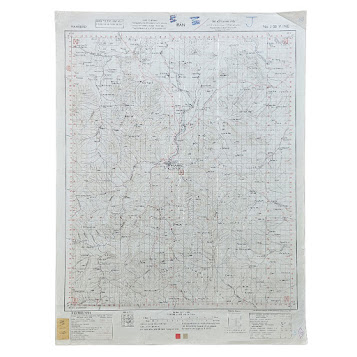
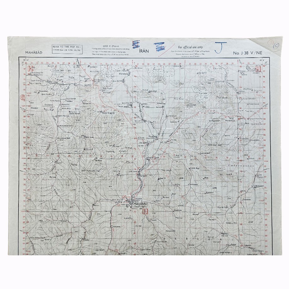
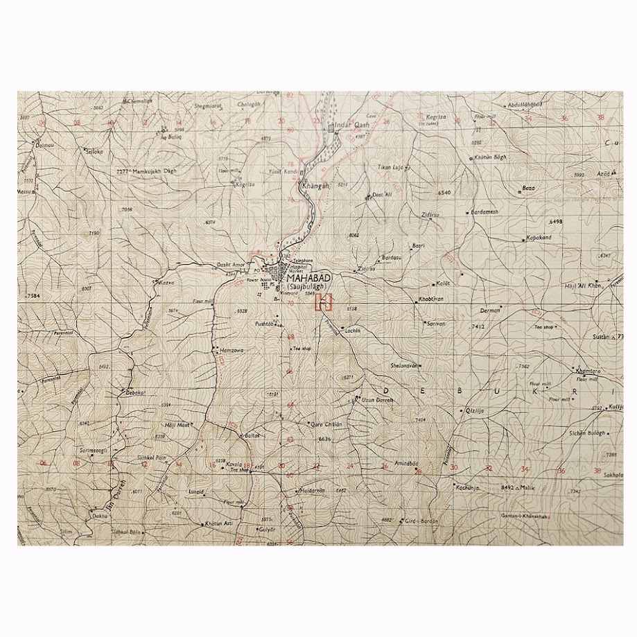
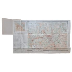
A rare Second World War military topographical map of Mahabad and the surrounding Kurdish districts of north-western Iran, issued at a scale of 1:100,000, equivalent to approximately 0.63 inch to one mile. Headed “MAHĀBĀD”, marked “For official use only” and designated J-38 V/NE, the sheet is dated July 1942 and carries the production reference PID 9003/4701.
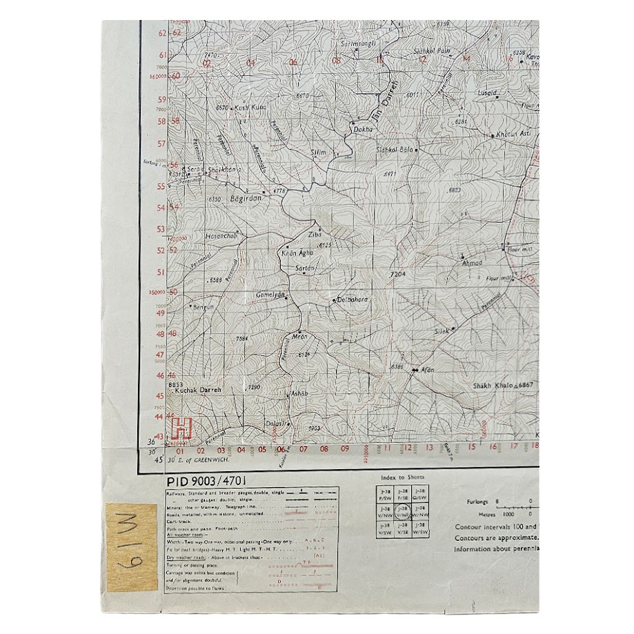
The map provides a detailed wartime survey of Mahabad and its surrounding mountainous terrain, showing roads and tracks, rivers and streams, settlements, cultivated ground, telegraph lines, mills, bridges, wells, springs and other communications, together with extensive relief represented by contours and spot heights. Mahabad itself is shown with its principal roads, public buildings, post and telegraph office, mosque and surrounding approaches, while the wider sheet records numerous Kurdish villages and the difficult upland terrain of the district.
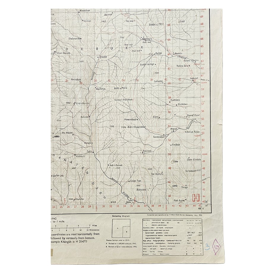
The marginal notes give unusually useful information about the map’s compilation. The underlying cartography was based upon Russian surveys dating from before 1914. The reliability diagram records that the principal area, marked A, was revised at 1:100,000 scale in July 1942, while a smaller area, marked B, was revised at quarter-inch to one-mile scale in July 1942. The sheet itself is explicitly identified as “Edition July 1942. 1:100,000 or 0.63 inch to 1 mile.”
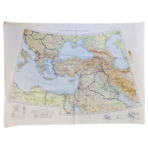
Its date places the map at an important moment in the history of Iran and Kurdistan. Britain and the Soviet Union had invaded Iran in August 1941, and by 1942 the country was divided between Allied spheres of military influence. North-western Iran, including the Kurdish districts around Mahabad, was politically sensitive and strategically important. Accurate mapping of roads, passes, water sources and settlements was therefore of direct military value.
Mahabad acquired even greater political significance only a few years later. In 1946 it became the capital of the short-lived Republic of Kurdistan, commonly known as the Republic of Mahabad. The present sheet therefore records the town and surrounding Kurdish landscape immediately before one of the defining episodes in twentieth-century Kurdish political history.
Institutional research confirms the wider British and Indian military mapping programme in this region, including the parent J-38V Mahabad sheet and later quarter-inch issues. However, extensive searches using the exact sheet designation J-38 V/NE, the title Mahabad, the 1:100,000 scale and the reference PID 9003/4701 have failed to locate another readily accessible catalogue record for this precise July 1942 issue. The map is therefore appropriately described as rare, while avoiding any unsupported claim of unique survival.
Condition
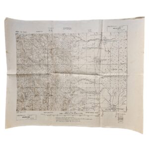
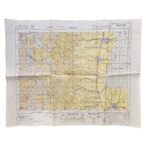
Good to very good. Original fold lines with general handling and creasing, principally towards the margins. Several contemporary or later military and institutional manuscript marks and stamps are present in the upper and lower margins, together with a small old adhesive label bearing manuscript numbering at the lower left. The mapped area remains complete and highly legible, with strong black and red printing and clear contour detail. Please refer to the accompanying photographs for further detail.
Maker: British-Indian military survey authorities
Date: July 1942
Scale: 1:100,000 – approximately 0.63 inch to one mile
Sheet: J-38 V/NE – Mahabad
Reference: PID 9003/4701
Military Status: For official use only
Compilation: Based partly on pre-1914 Russian surveys, with the principal area revised at 1:100,000 in July 1942 and a smaller section revised at ¼ inch to one mile in July 1942.
Sheet Size: Approximately 68.4 × 51 cm
Subject: Mahabad; Iranian Kurdistan; north-western Iran; Second World War; Allied occupation of Iran; military cartography; Kurdish history
Location: Tube C: Middle East
Historical Importance and Rarity
This is a particularly interesting wartime map because several factors combine unusually well: Mahabad itself, the July 1942 date, official military use, wartime revision and unusually limited institutional visibility for the exact sheet.
The broader Mahabad mapping programme is well documented institutionally, but the exact J-38 V/NE, 1:100,000 July 1942 issue has proved much more difficult to trace. Searches for the exact title, sheet number, scale and production reference did not produce another readily identifiable institutional copy. That supports the use of rare rather than merely scarce.
Its significance is strengthened further by the later history of Mahabad. The map predates the Republic of Mahabad by only a few years and provides a detailed military record of the town and its surrounding Kurdish hinterland immediately before that major political episode.
SHOP WITH CONFIDENCE AT HORNSEYS
At Hornseys, we are dedicated to offering items that uphold the highest standards of quality and authenticity. Our collection of artwork is carefully curated to ensure that each item we offer is authentic, collated, and complete.
Here’s what sets us apart:
- Authenticity and Provenance: Each map is researched and verified for authenticity.
- Expert Curation: We wholly own all our artworks. We trust our taste and have invested heavily in it. We have confidence in all artwork that we offer for sale.
- Customer Satisfaction: We strive to provide an exceptional customer experience, from detailed descriptions and provenance to secure and prompt delivery of your purchase.
- Returns Policy: We offer an unconditional guarantee on every item. If, however, you wish to make a return, artworks may be sent back to us within fourteen days of receipt for whatever reason. We request that we are notified in advance if you wish to do so. They must be returned to us in the same condition as they were sent for a full refund.
OUR COMMITMENT TO QUALITY AND SERVICE
Understanding the value and rarity of these items, we ensure that every aspect of your purchase meets the highest standards of quality and service. This includes:
- Free Expedited, Tracked, and Insured Delivery within the UK: Ensuring that your artwork arrives safely and promptly.
- Fully-Insured Worldwide Delivery: Offering peace of mind for international collectors with reliable and secure shipping options.
EXPLORE OUR COLLECTION
Visit Hornseys today to explore our fine collection of maps and other artworks. Whether you are an avid collector or looking for a special gift, our selection offers something truly unique. Located since 1976 in Ripon in the picturesque Yorkshire Dales, we are recognized as a destination gallery for tastefully curated artwork, rare maps, design, and fine books.