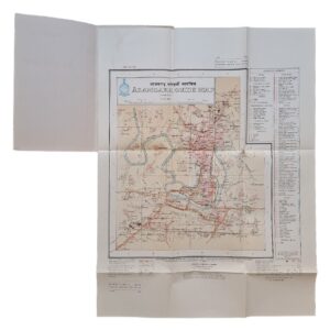
Aswan, Egypt & Red Sea – British Military Map – Series 1301 NG-36 – 1960
Description:
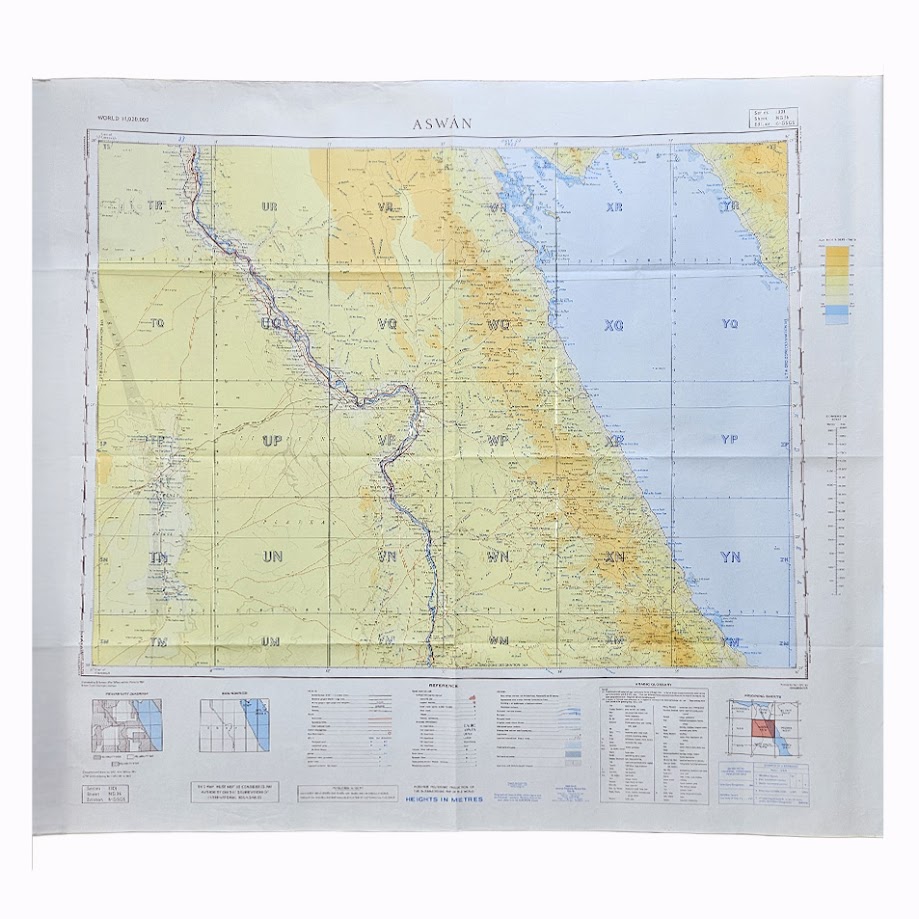
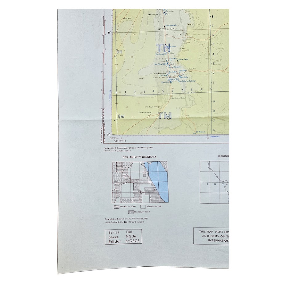
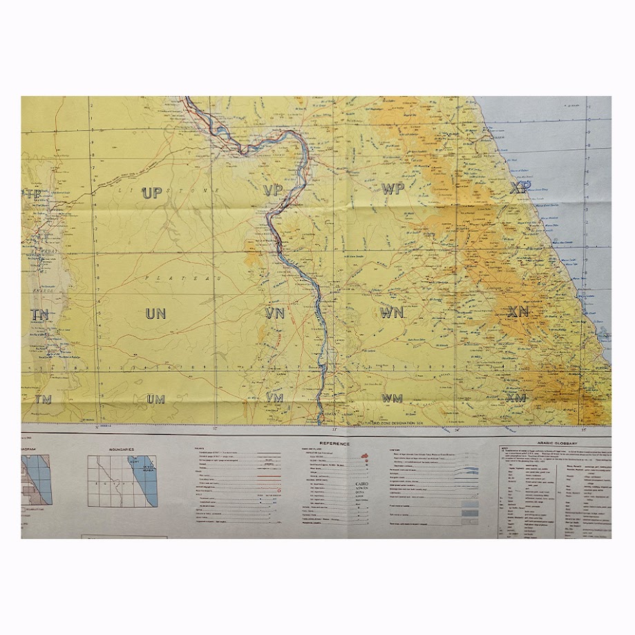
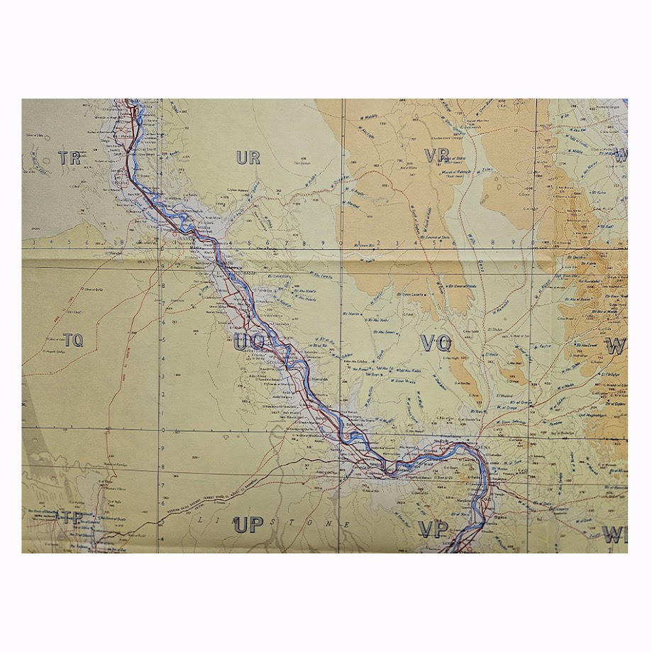
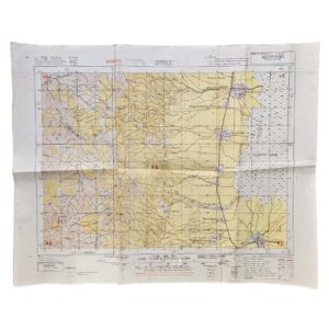
A scarce British military topographical map of Aswan and Upper Egypt, extending eastwards across the Eastern Desert to the Red Sea, published in 1960 by the Directorate of Survey, War Office and Air Ministry. Issued in the World 1:1,000,000 series as Series 1301, Sheet NG-36, Edition 6-GSGS, the map was compiled and drawn by the Survey Production Centre, War Office, from material assembled in 1951, with the UTM grid subsequently added by No. 1 Survey Production Centre, Royal Engineers, in 1960.
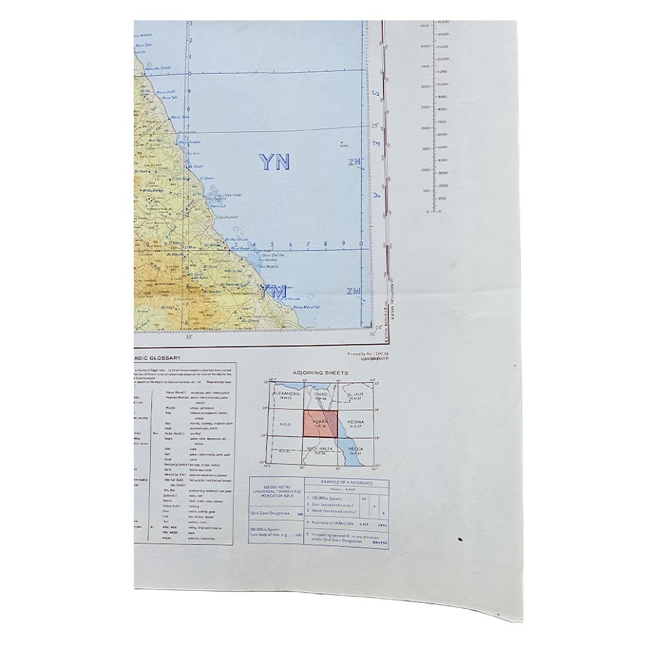
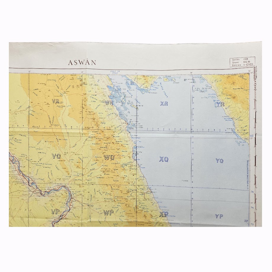
The sheet covers a substantial area of southern Egypt, dominated by the course of the Nile through Upper Egypt to Aswan, with the extensive Western Desert to the west and the mountainous Eastern Desert and Red Sea littoral to the east. Settlements, roads, railway lines, tracks, wadis, wells and communications are carefully differentiated, while relief is represented by contours, altitude tints and spot heights. The map also includes an Arabic glossary, reliability diagram, boundary diagram, reference key and adjoining-sheet index.
The publication date is particularly significant. Construction of the Aswan High Dam began in January 1960, the same year this edition was issued, but the geographical information underlying the map had been compiled in 1951. It therefore records the region before the enormous alteration of the Nile valley associated with the completion of the High Dam and the creation of Lake Nasser, whose filling began in 1964. The map consequently preserves a cartographic picture of Upper Egypt at the very end of the pre-High-Dam era.
The earlier Aswan Low Dam, completed in 1902 and subsequently raised in 1912 and again in 1933, belonged to the landscape represented by this period of mapping. The High Dam, by contrast, lay at the beginning of its construction history when this edition was printed. This chronological position gives the map particular relevance to the history of twentieth-century Egyptian engineering, irrigation and Nile control.
Institutional research confirms the exact issue. The British Library holds Sheet NG-36, Aswan, Edition 6-GSGS, recording it as compiled in 1951, published in 1960 and printed in August 1960. A further copy is catalogued by the University of Tokyo, while international map collections also record earlier editions of the Aswan sheet. Commercially, however, this precise 1960 Edition 6-GSGS appears to be infrequently encountered as an original loose sheet.
Condition
Very good. Original horizontal and vertical fold lines with light handling and minor creasing. The map remains complete and clean, with strong printed colour and clear cartographic detail. Please refer to the accompanying photographs for further detail.
Maker: Directorate of Survey, War Office and Air Ministry
Compiled and drawn by the Survey Production Centre, War Office; UTM grid added by No. 1 Survey Production Centre, Royal Engineers.
Series: World 1:1,000,000 – Series 1301
Sheet: NG-36 – Aswan
Edition: Edition 6-GSGS
Date: 1960
Compilation: Compiled 1951; UTM grid added 1960
Scale: 1:1,000,000
Sheet Size: Approximately 63.3 × 74.2 cm
Area Shown: Aswan, Upper Egypt, the Nile Valley, Western Desert, Eastern Desert and Red Sea coast
Location: Tube C: Middle East
Historical Context and Rarity
This sheet has greater historical interest than many standard Series 1301 maps because of its timing. Its cartographic base predates construction of the Aswan High Dam, while its publication coincides with the year in which work on the project began. It thus records a Nile landscape which was about to undergo one of the most extensive physical transformations in modern Egyptian history.
The subsequent filling of Lake Nasser from 1964 permanently altered large areas south of Aswan and led to the inundation and relocation of communities and archaeological sites. Although the High Dam itself lies just beyond the southern edge of this particular million-scale sheet, the map belongs precisely to the transitional moment immediately preceding that transformation.
Institutional holdings confirm the exact edition, but surviving examples are not conspicuous in the commercial market. It is therefore appropriately described as scarce in commerce, particularly in this clean and complete state.
SHOP WITH CONFIDENCE AT HORNSEYS
At Hornseys, we are dedicated to offering items that uphold the highest standards of quality and authenticity. Our collection of artwork is carefully curated to ensure that each item we offer is authentic, collated, and complete.
Here’s what sets us apart:
- Authenticity and Provenance: Each map is researched and verified for authenticity.
- Expert Curation: We wholly own all our artworks. We trust our taste and have invested heavily in it. We have confidence in all artwork that we offer for sale.
- Customer Satisfaction: We strive to provide an exceptional customer experience, from detailed descriptions and provenance to secure and prompt delivery of your purchase.
- Returns Policy: We offer an unconditional guarantee on every item. If, however, you wish to make a return, artworks may be sent back to us within fourteen days of receipt for whatever reason. We request that we are notified in advance if you wish to do so. They must be returned to us in the same condition as they were sent for a full refund.
OUR COMMITMENT TO QUALITY AND SERVICE
Understanding the value and rarity of these items, we ensure that every aspect of your purchase meets the highest standards of quality and service. This includes:
- Free Expedited, Tracked, and Insured Delivery within the UK: Ensuring that your artwork arrives safely and promptly.
- Fully-Insured Worldwide Delivery: Offering peace of mind for international collectors with reliable and secure shipping options.
EXPLORE OUR COLLECTION
Visit Hornseys today to explore our fine collection of maps and other artworks. Whether you are an avid collector or looking for a special gift, our selection offers something truly unique. Located since 1976 in Ripon in the picturesque Yorkshire Dales, we are recognized as a destination gallery for tastefully curated artwork, rare maps, design, and fine books.