Lake Rudolf – Northern Kenya & Southern Ethiopia – East African Forces Map – E.A.F. 1706 – 1949
Description:
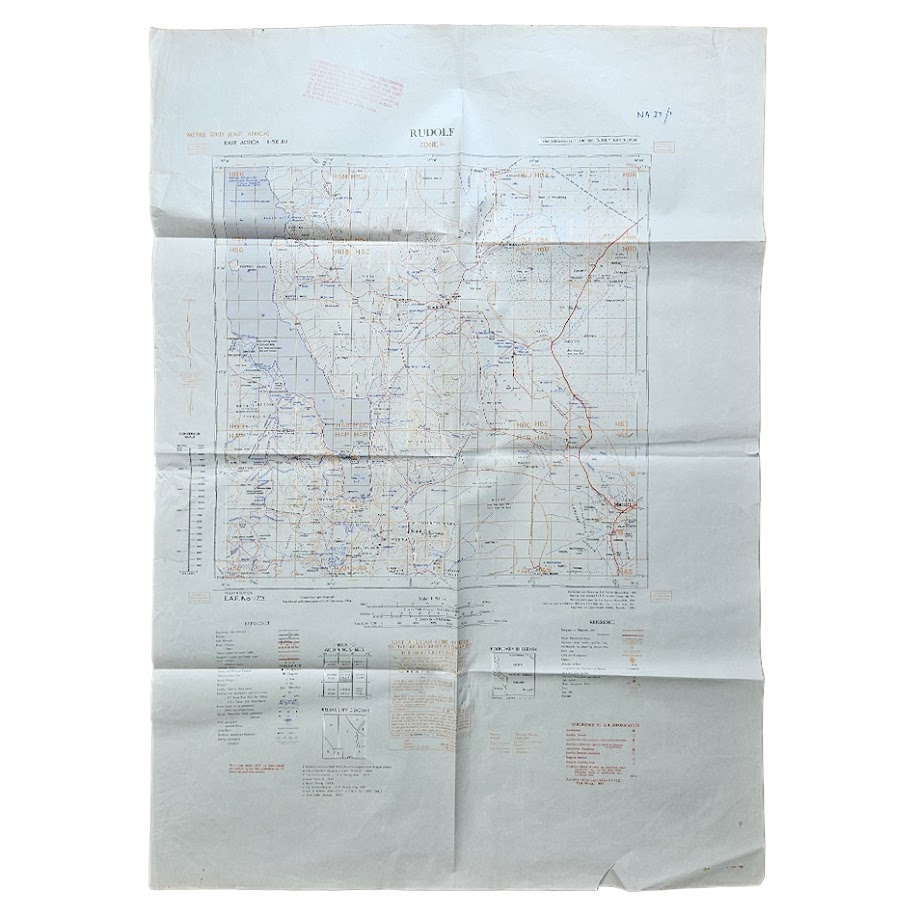
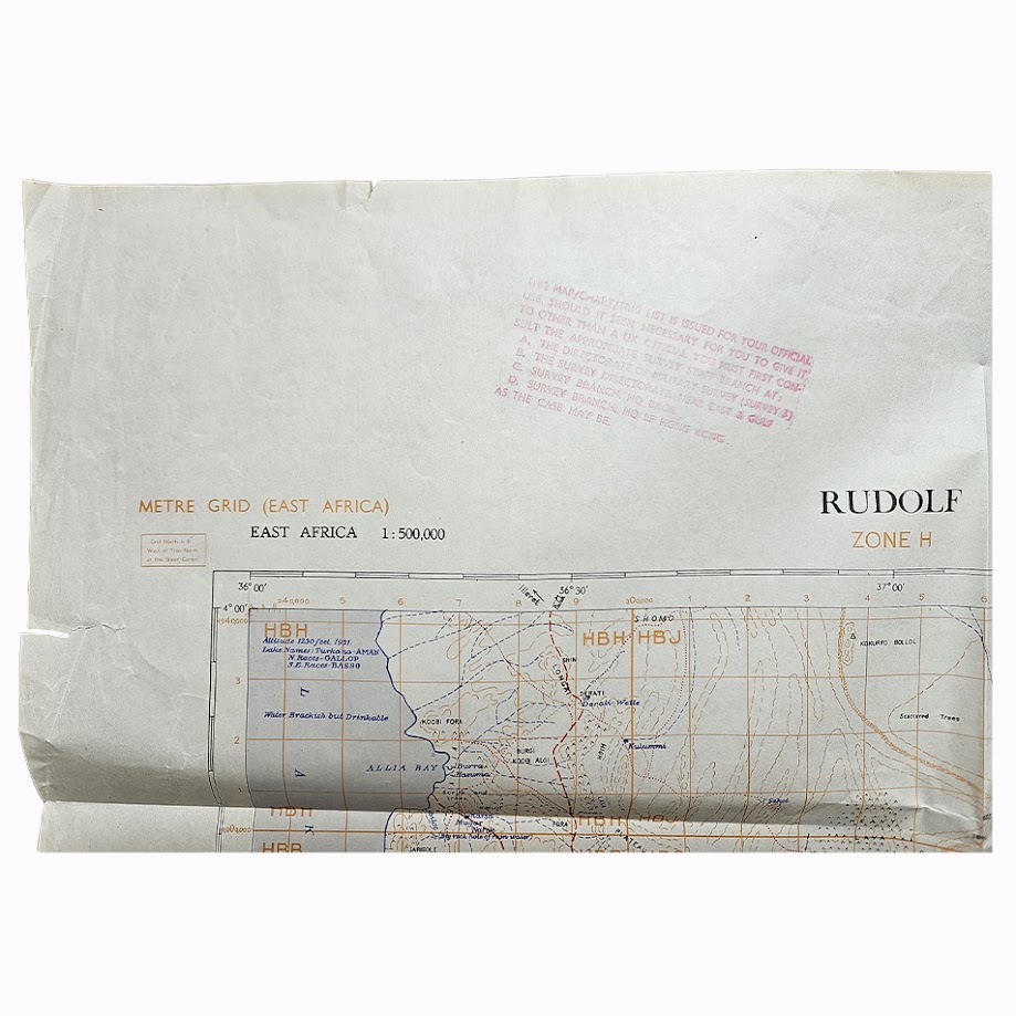
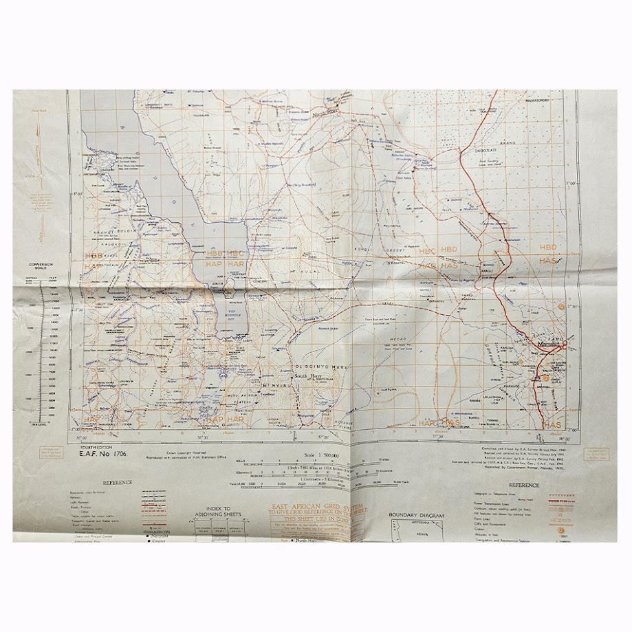
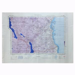
A large and detailed post-war military and colonial survey map of Lake Rudolf, now Lake Turkana, and the surrounding districts of northern Kenya and southern Ethiopia, issued at a scale of 1:500,000. Entitled Rudolf, Zone H, the sheet is identified as E.A.F. No. 1706 and represents the Fourth Edition of a mapping programme developed by the East African Survey Group during and immediately after the Second World War. This example bears the later 1949 Nairobi reprint, while the underlying Fourth Edition was completed in 1946.
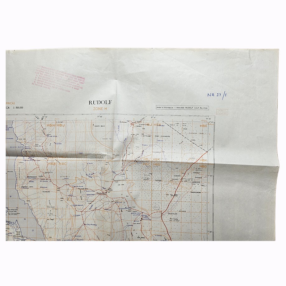
The map covers a particularly remote and historically difficult-to-map region of East Africa. Lake Rudolf occupies much of the western portion, with the extensive arid country eastwards towards Marsabit, the Chalbi and Kaisut regions and the approaches to the Ethiopian frontier. Roads, tracks, settlements, wells, waterholes, mission and administrative stations, telegraph routes, relief and other topographical features are carefully differentiated. The scale of 1:500,000 allowed considerably more geographical detail than the broader continental strategic sheets used during the war.
The cartographic history of this sheet is particularly interesting. Institutional records identify NA37/1 Rudolf as E.A.F. No. 1706, Fourth Edition, 1946. A British War Office printing of the same Fourth Edition was issued as GSGS 4355 in December 1946, demonstrating the adoption of the East African Forces cartography into the principal post-war British military map series. The present example is the later 1949 East African/Nairobi reprint of that established Fourth Edition.
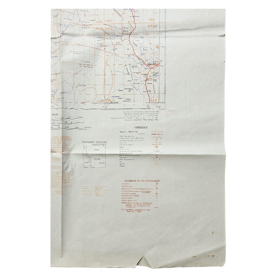
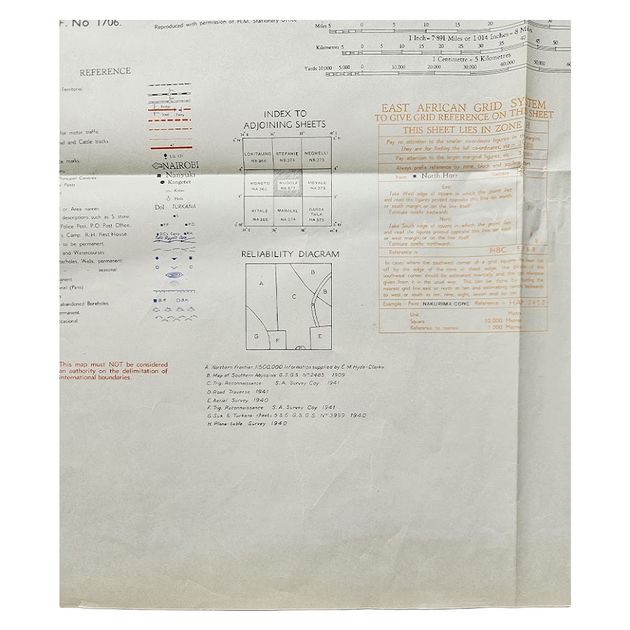
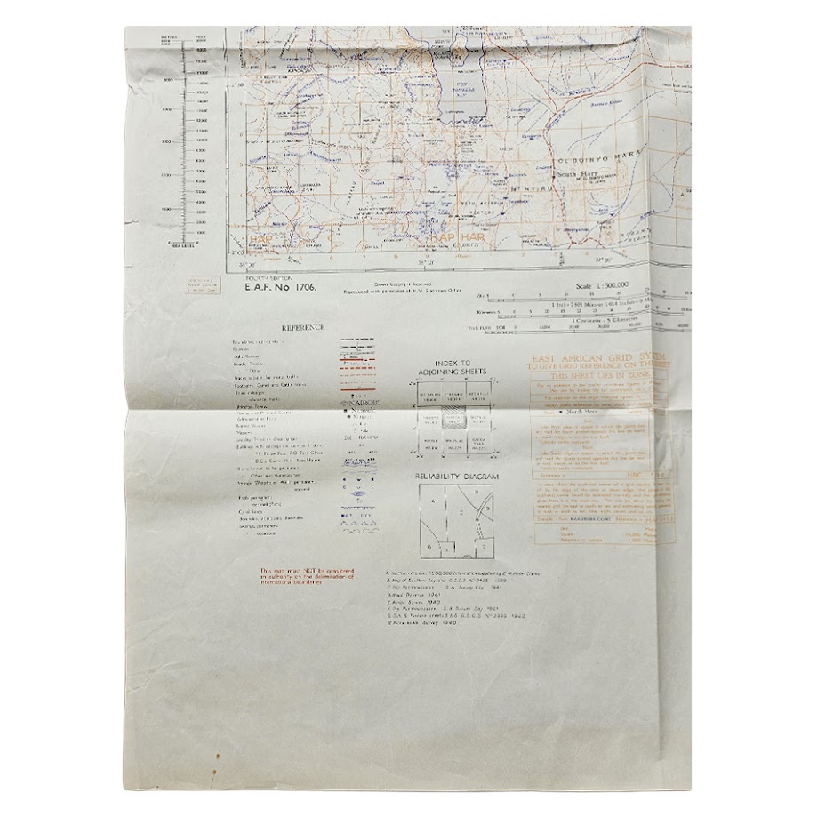
The reliability diagram records the diverse survey material upon which the map was constructed. Sources include earlier frontier surveys, Southern Abyssinian mapping, reconnaissance undertaken during 1940–41, aerial survey and other East African military survey material. Such compilation reflects the difficulties faced by surveyors working across the vast, sparsely settled and often waterless terrain surrounding Lake Rudolf.
The map has particular relevance to the history of British military surveying in East Africa, the mapping of northern Kenya, the Ethiopian frontier and the exploration and administration of the Lake Turkana region. The use of the historic name Lake Rudolf also preserves the colonial geographical terminology of the period; the lake was officially renamed Lake Turkana in Kenya in the later twentieth century.
Institutional holdings confirm the importance of the sheet within the wider East Africa 1:500,000 series. The British Library records the Fourth Edition Rudolf sheet and its subsequent GSGS printing, while the Perry-Castañeda Map Collection at the University of Texas preserves a digitised Rudolf NA37/1 sheet. A major Japanese institutional map collection also records Rudolf within the East Africa 1:500,000 sequence.
The exact 1949 Nairobi reprint appears considerably less visible in institutional and commercial searches than the 1946 GSGS issue. It is therefore appropriately described as scarce in commerce, although the underlying Rudolf sheet itself is well represented institutionally.
Condition
Good. Original horizontal and vertical folding with extensive handling and creasing consistent with practical map use. Several small marginal tears and nicks, including a more noticeable short tear towards the lower edge, together with light spotting and occasional surface marks. Contemporary or later manuscript and institutional markings appear in the margins. The mapped area remains substantially complete and clearly legible, with red, blue and brown printed detail retaining good definition.
Maker: East African Survey Group / East African Forces
Series: East Africa 1:500,000
Sheet: NA37/1 – Rudolf
Reference: E.A.F. No. 1706
Edition: Fourth Edition
Date: 1949
Cartographic History: Fourth Edition completed 1946; subsequently issued by the War Office as GSGS 4355; present Nairobi reprint dated 1949
Scale: 1:500,000
Sheet Size: Approximately 90.9 × 64.8 cm
Area Shown: Lake Rudolf / Lake Turkana, northern Kenya, Marsabit region and the southern Ethiopian frontier
Location: Tube B: Africa
Historical Context and Rarity
This sheet belongs to the major British and East African military survey programmes developed during the Second World War, when the campaigns in Ethiopia and Italian East Africa exposed serious deficiencies in existing mapping. The 1:500,000 series became one of the principal regional mapping frameworks created from wartime survey, reconnaissance and aerial intelligence.
The British Library records the exact Rudolf NA37/1 Fourth Edition as having been reprinted by the War Office in December 1946 from E.A.F. No. 1706, confirming the direct relationship between East African Forces surveying and the later GSGS series.
The present 1949 reprint is less readily encountered than the institutional 1946 printing. Given the number of institutional holdings of the underlying sheet, I would describe it as scarce rather than rare. It is certainly scarce in commerce.
SHOP WITH CONFIDENCE AT HORNSEYS
At Hornseys, we are dedicated to offering items that uphold the highest standards of quality and authenticity. Our collection of artwork is carefully curated to ensure that each item we offer is authentic, collated, and complete.
Here’s what sets us apart:
- Authenticity and Provenance: Each map is researched and verified for authenticity.
- Expert Curation: We wholly own all our artworks. We trust our taste and have invested heavily in it. We have confidence in all artwork that we offer for sale.
- Customer Satisfaction: We strive to provide an exceptional customer experience, from detailed descriptions and provenance to secure and prompt delivery of your purchase.
- Returns Policy: We offer an unconditional guarantee on every item. If, however, you wish to make a return, artworks may be sent back to us within fourteen days of receipt for whatever reason. We request that we are notified in advance if you wish to do so. They must be returned to us in the same condition as they were sent for a full refund.
OUR COMMITMENT TO QUALITY AND SERVICE
Understanding the value and rarity of these items, we ensure that every aspect of your purchase meets the highest standards of quality and service. This includes:
- Free Expedited, Tracked, and Insured Delivery within the UK: Ensuring that your artwork arrives safely and promptly.
- Fully-Insured Worldwide Delivery: Offering peace of mind for international collectors with reliable and secure shipping options.
EXPLORE OUR COLLECTION
Visit Hornseys today to explore our fine collection of maps and other artworks. Whether you are an avid collector or looking for a special gift, our selection offers something truly unique. Located since 1976 in Ripon in the picturesque Yorkshire Dales, we are recognized as a destination gallery for tastefully curated artwork, rare maps, design, and fine books.