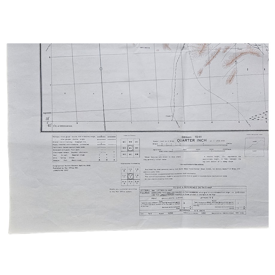
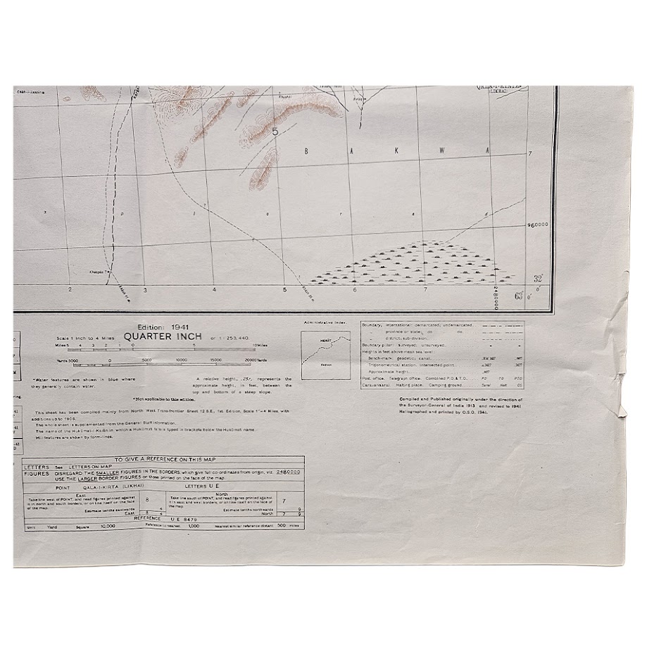
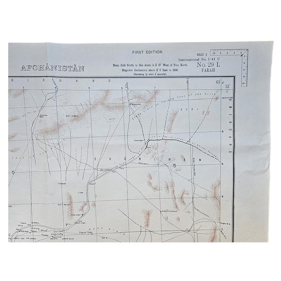
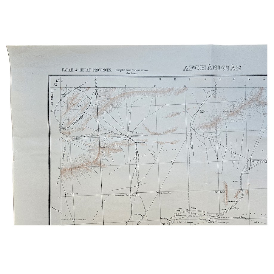
Afghanistan – Farah & Herat Provinces – G.S.G.S. No. 3919 – Sheet 29 L Farah – 1949 Printing – Edition of 1,000 copies
Description: A scarce post-war British military topographical map of western Afghanistan, covering parts of the strategically important Farah and Herat Provinces, issued as Sheet No. 29 L – Farah in the G.S.G.S. quarter-inch series. The underlying cartography carries the designation First Edition, 1941, while this particular physical impression was printed in 1949 in a stated run of only 1,000 copies. It was published within the Geographical Section, General Staff, G.S.G.S. No. 3919 series at the scale of 1:253,440, or one inch to four miles.
The sheet covers a substantial area of western Afghanistan close to the Iranian frontier, recording the sparse communications network, settlements, wells, cultivated areas and extensive desert and mountain terrain of the Farah–Herat region. Roads and tracks of different classes, caravan routes, wells and springs, camps, villages and administrative or boundary information are shown, while the relief is depicted in restrained brown, giving the otherwise open landscape considerable visual character.
The map states that it was compiled principally from the earlier North-West Frontier Sheet 12 S.E., First Edition, with additions made up to 1936 and supplemented by other available information. The detailed reference information and transliteration notes are typical of British military mapping intended for practical operational and administrative use in areas where reliable communications and water sources were critical.
Although the cartographic edition originated in 1941, this example belongs to the immediate post-war period. Its 1949 printing date is significant in a different way: Afghanistan had emerged from the Second World War still formally independent and neutral, while British strategic influence in the region was undergoing rapid change following the independence of India and Pakistan in 1947. Western Afghanistan remained geopolitically important because of its proximity to Iran, the Soviet sphere and the new state of Pakistan, and detailed military mapping of the country continued to have clear strategic value.
The broader G.S.G.S. 3919 mapping programme was subsequently used and reprinted by the U.S. Army Map Service. Western Michigan University preserves a substantial collection of Afghanistan sheets in the related AMS Series U511, noting that many were reprints of earlier British G.S.G.S. maps derived from Survey of India material. The collection includes a Farah sheet within this broader cartographic lineage.
The present copy is particularly interesting because the 1949 printing was limited to 1,000 copies. That is a relatively small production figure for an official military map and provides firmer evidence of limited issue than a generic claim of rarity. While individual sheets from G.S.G.S. 3919 survive in institutional and private collections, exact impressions can be difficult to trace commercially.
Condition: Very good condition. Fold creases. Clear black cartographic detail and attractive brown relief printing. There is light handling and creasing, together with some localised edge wear and short tears or creases towards the right-hand margin, particularly near the lower right corner. Minor age-related marking is present but does not materially affect the printed map. Please study the photographs carefully, as they form part of the condition assessment.
Title: Afghanistan – Farah & Herat Provinces
Sheet: No. 29 L – Farah
Series: G.S.G.S. No. 3919
Cartographic edition: First Edition, 1941
Printing / impression: 1949
Print run: 1,000 copies
Publisher: War Office / Geographical Section, General Staff
Scale: 1:253,440 / one inch to four miles
Area: Farah and Herat Provinces, western Afghanistan
Sheet size: 48.2 × 63.1 cm
Format: Original folding military topographical map
Every map offered by Hornseys is handled, inspected and catalogued individually in-house, with the edition, printing, scale, imprint and condition taken directly from the original sheet wherever possible.
SHOP WITH CONFIDENCE AT HORNSEYS
At Hornseys, we are dedicated to offering items that uphold the highest standards of quality and authenticity. Our collection of artwork is carefully curated to ensure that each item we offer is authentic, collated, and complete.
Here’s what sets us apart:
- Authenticity and Provenance: Each map is researched and verified for authenticity.
- Expert Curation: We wholly own all our artworks. We trust our taste and have invested heavily in it. We have confidence in all artwork that we offer for sale.
- Customer Satisfaction: We strive to provide an exceptional customer experience, from detailed descriptions and provenance to secure and prompt delivery of your purchase.
- Returns Policy: We offer an unconditional guarantee on every item. If, however, you wish to make a return, artworks may be sent back to us within fourteen days of receipt for whatever reason. We request that we are notified in advance if you wish to do so. They must be returned to us in the same condition as they were sent for a full refund.
OUR COMMITMENT TO QUALITY AND SERVICE
Understanding the value and rarity of these items, we ensure that every aspect of your purchase meets the highest standards of quality and service. This includes:
- Free Expedited, Tracked, and Insured Delivery within the UK: Ensuring that your artwork arrives safely and promptly.
- Fully-Insured Worldwide Delivery: Offering peace of mind for international collectors with reliable and secure shipping options.
EXPLORE OUR COLLECTION
Visit Hornseys today to explore our fine collection of maps and other artworks. Whether you are an avid collector or looking for a special gift, our selection offers something truly unique. Located since 1976 in Ripon in the picturesque Yorkshire Dales, we are recognized as a destination gallery for tastefully curated artwork, rare maps, design, and fine books.