A PICTORIAL MAP OF THE UNITED STATES OF AMERICA – Showing Principal Regional Resources, Products, and Natural Features – c. 1958-1959
General Drafting Co., Inc., New York, [c.1958–1959].
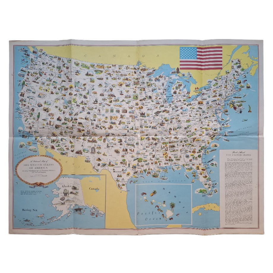
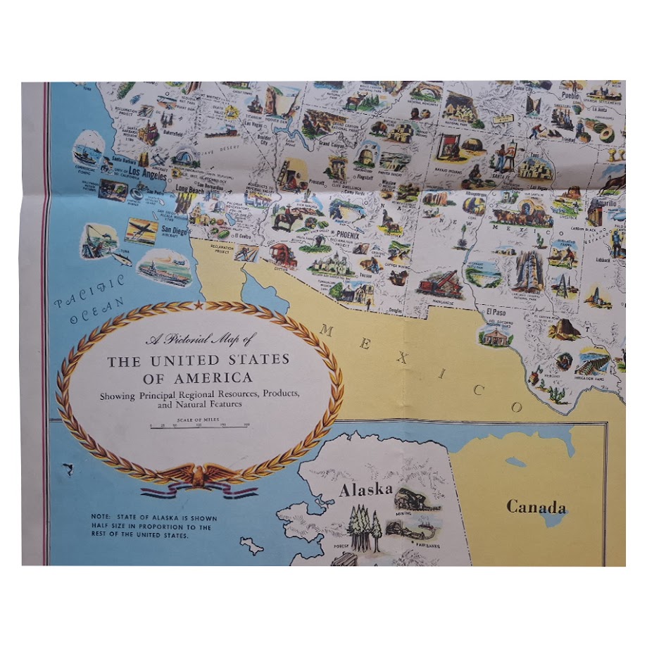
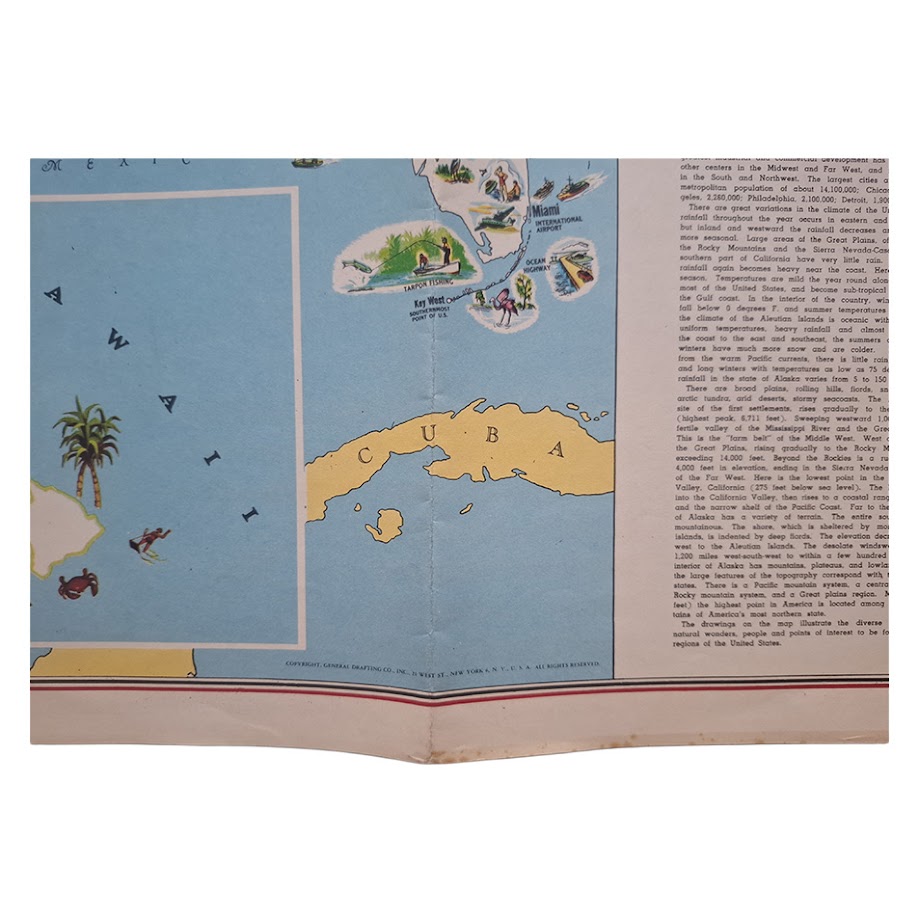
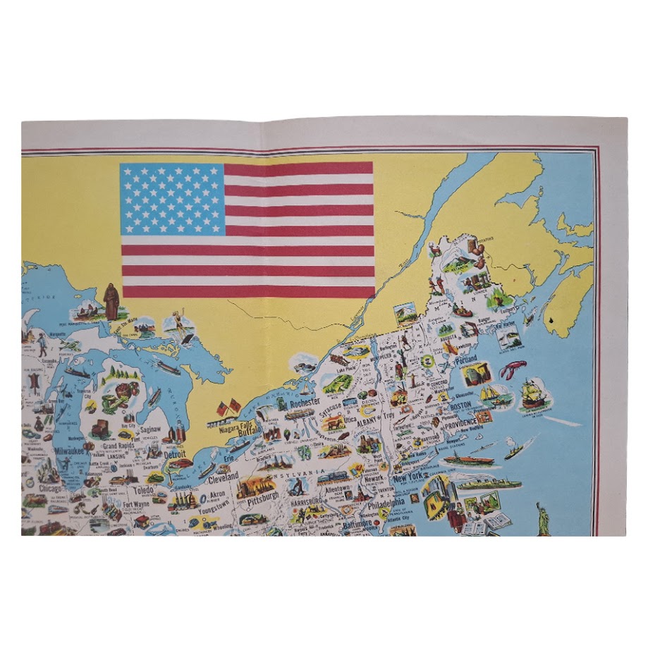
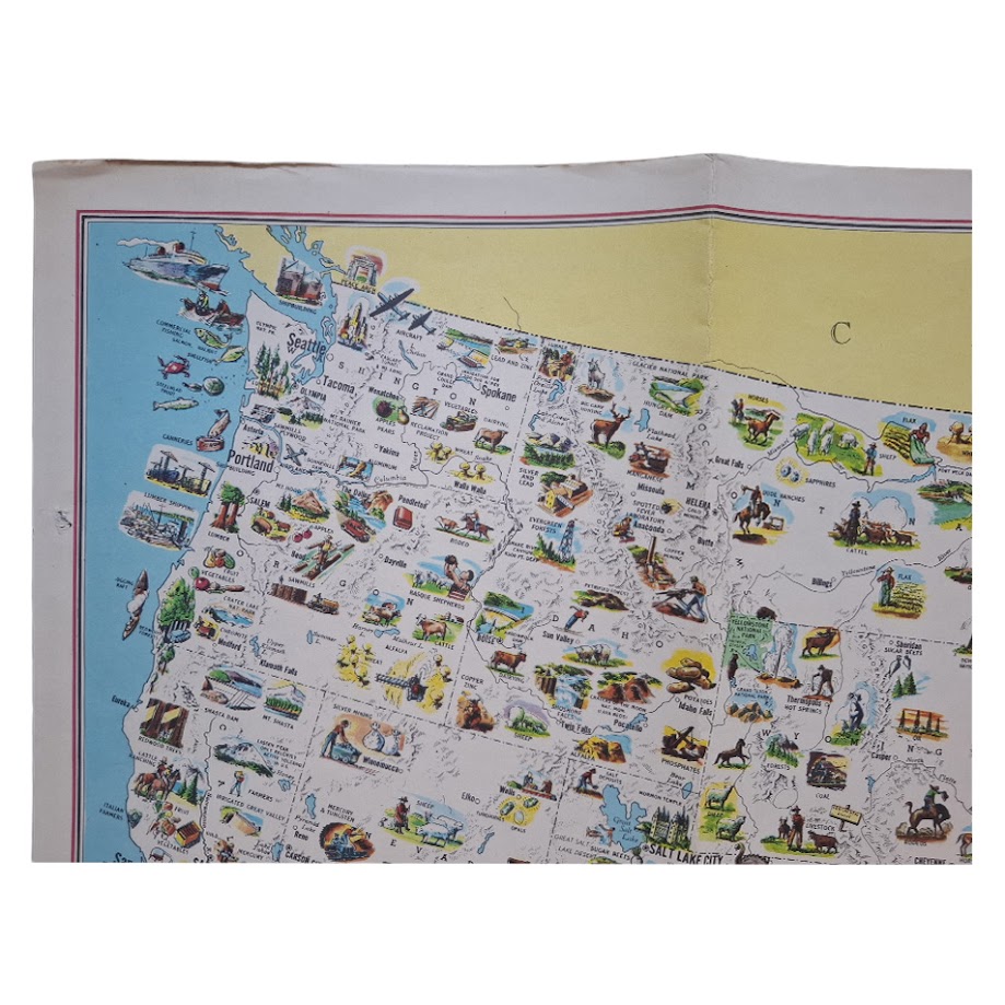
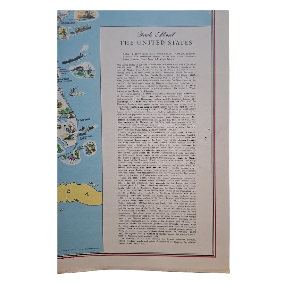
Large colour pictorial map of the United States, densely illustrated with regional products, natural resources, industries, landmarks, agriculture, wildlife, transport, cities and tourist attractions. Includes Alaska, Hawaii, an inset text panel headed “Facts About the United States”, and a large forty-eight star American flag. Copyright General Drafting Co., Inc., New York.
The map can be dated closely to 1958–1959 from the internal evidence. The accompanying statistical panel gives the population of the United States as “175,000,000 excluding territories and possessions”, a figure reached in the late 1950s, while the map still employs the pre-statehood 48-star flag and depicts Alaska and Hawaii separately rather than as fully integrated states.
Sheet size approximately 73.8 × 56 cm.
A lively late-1950s American pictorial map, produced during the final years of the forty-eight-state Union and combining economic geography with popular visual culture. The map records the United States through hundreds of small vignettes depicting mining, oil production, agriculture, cattle ranching, timber, fisheries, aviation, shipping, manufacturing, national parks and regional tourist attractions.
Condition: Very good overall. Original folds, light creasing, small marginal marks and minor wear at fold intersections; colours bright and fresh.
Institutionally recorded in related issues and variants; scarce in commerce, especially in attractive complete condition.
Why buy from us?
At Hornseys, we are committed to offering items that meet the highest standards of quality and authenticity. Our collection is meticulously curated to ensure that each item is a valuable and authentic piece of history. Here’s what sets us apart:
- Authenticity and Provenance: Every item is researched, collated, and verified for authenticity.
- Expert Curation: Each item is selected with a keen eye for significance, condition, and rarity, ensuring a collection that is both diverse and distinguished.
- Customer Satisfaction: We strive to provide an exceptional customer experience, from detailed descriptions and provenance to secure and prompt delivery of your purchase.
- Returns Policy: We offer an unconditional guarantee on every item. If you wish to make a return, items may be sent back to us within fourteen days of receipt for any reason. We request advance notification of returns, and items must be returned in the same condition as sent for a full refund.
Explore Our Collection:
Visit Hornseys to explore our fine collection of rare and signed books, maps, artwork and objects. Whether you are an avid collector or looking for a special gift, our selection offers something truly unique. Located in the picturesque Yorkshire Dales, our Ripon gallery has been a haven for book lovers, art enthusiasts, and collectors since 1976.
Thank you for looking.