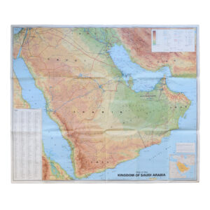
Oxford Wall Map of Western Europe – 1960
Large Cold War-Era Educational Wall Map Published by Oxford University Press
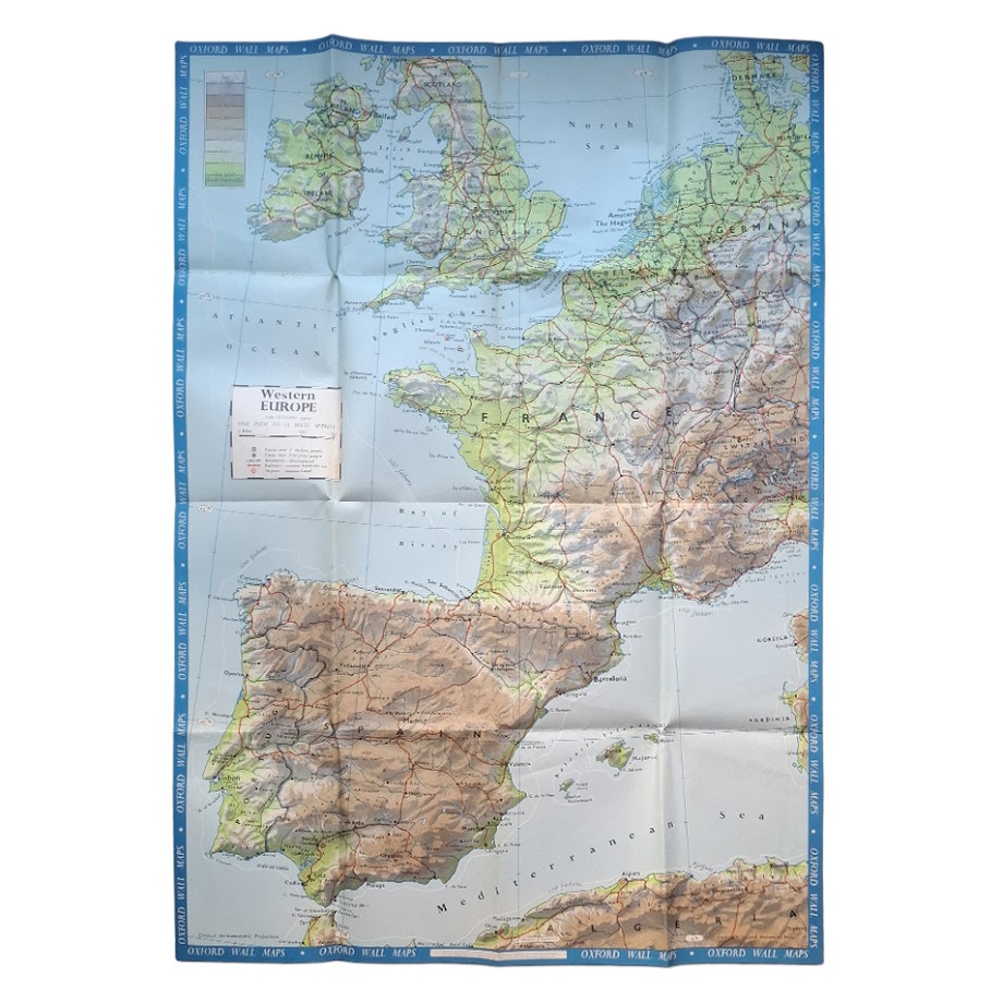
WESTERN EUROPE. Oxford Wall Maps. Oxford University Press, 1960 [verso dated 1962].
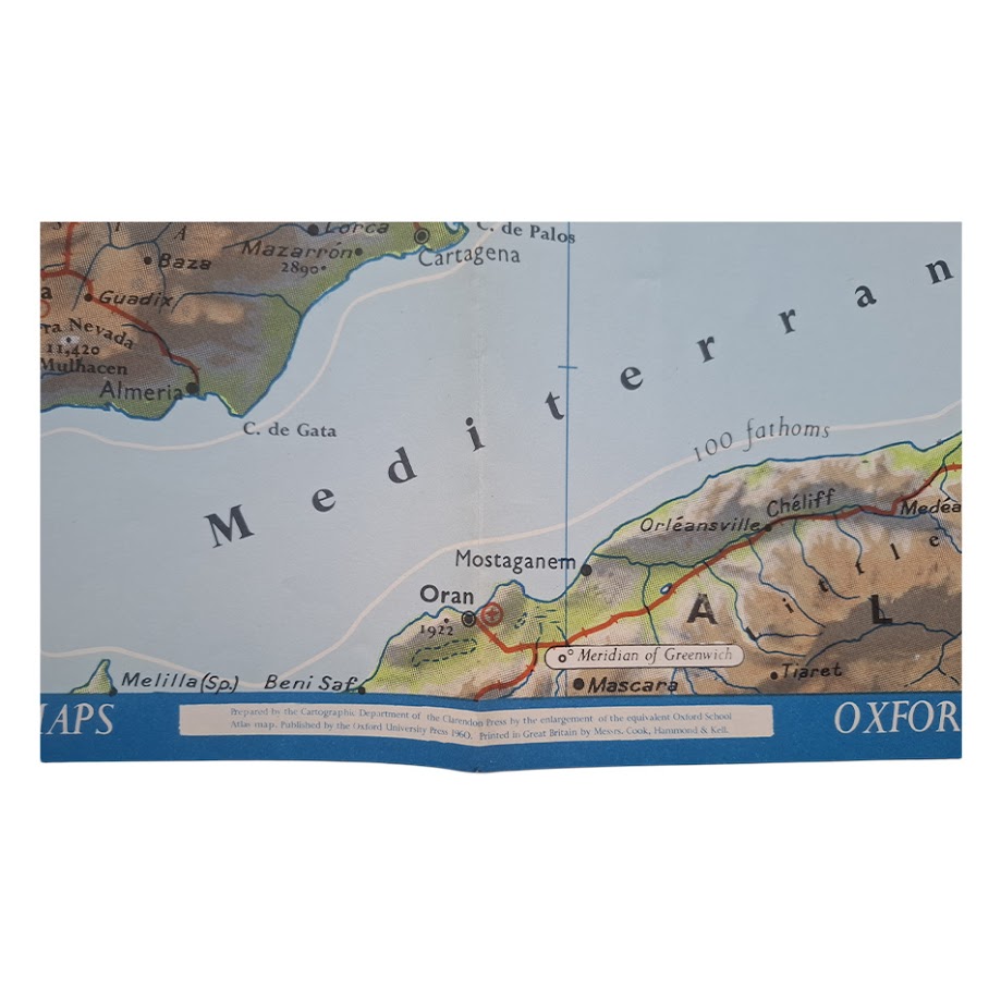
Large colour-printed educational wall map of Western Europe, prepared by the Cartographic Department of the Clarendon Press by enlargement of the equivalent Oxford School Atlas map. Published by Oxford University Press in 1960 and printed in Great Britain by Cook, Hammond & Kell, with the verso carrying the Oxford Wall Maps series list dated 1962.
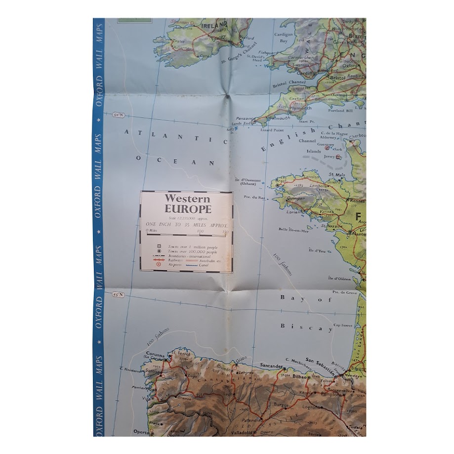
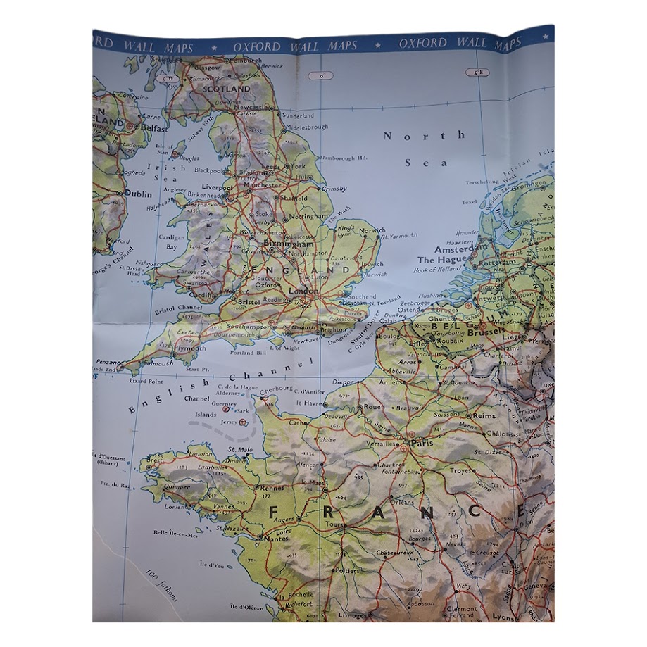
Scale approximately 1:2,215,000, or one inch to 35 miles. The map extends from the British Isles and western Germany south to Spain, Portugal, northern Morocco, Algeria and the western Mediterranean. Relief is shown by layer colouring and hill shading, with roads, railways, airports, canals, principal towns, national boundaries and major physical features clearly marked.
Issued as part of the Oxford Wall Maps educational series used in British schools during the early Cold War period, when post-war European political geography was still evolving rapidly. The lower margin bears the printed imprint:
“Prepared by the Cartographic Department of the Clarendon Press by the enlargement of the equivalent Oxford School Atlas map. Published by the Oxford University Press 1960.”
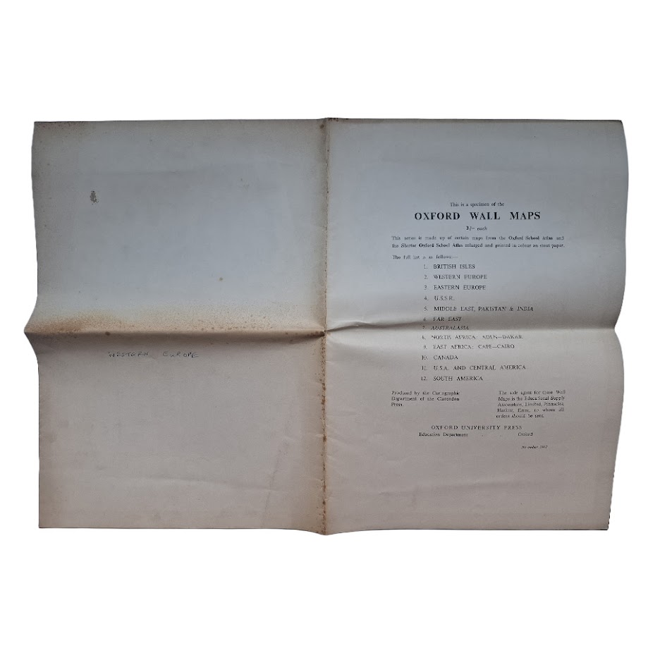
The verso lists twelve available Oxford Wall Maps, including Western Europe, Eastern Europe, U.S.S.R., Middle East, Far East, North America and East Africa, reflecting the geopolitical and educational priorities of the period.
An attractive and increasingly uncommon survival of mid-century British educational cartography, combining strong graphic design with detailed geographical information. Large-format Oxford wall maps were working classroom materials and frequently suffered heavy wear, making well-preserved surviving examples comparatively scarce.
Sheet size approximately 105.8 × 74.8 cm.
Condition: Very good overall. Original folding format as issued, with light creasing and handling wear, minor edge wear and wear to fold intersections and some age-toning and spotting to the blank verso. Colour bright and well preserved.
Institutional holdings of Oxford educational atlases and related Clarendon Press cartographic publications are recorded, though we have not traced an institutional record for this exact 1960 Western Europe wall-map issue with the 1962 series-list verso. Apparently uncommon in commerce.
Why buy from us?
At Hornseys, we are committed to offering items that meet the highest standards of quality and authenticity. Our collection is meticulously curated to ensure that each item is a valuable and authentic piece of history. Here’s what sets us apart:
- Authenticity and Provenance: Every item is researched, collated, and verified for authenticity.
- Expert Curation: Each item is selected with a keen eye for significance, condition, and rarity, ensuring a collection that is both diverse and distinguished.
- Customer Satisfaction: We strive to provide an exceptional customer experience, from detailed descriptions and provenance to secure and prompt delivery of your purchase.
- Returns Policy: We offer an unconditional guarantee on every item. If you wish to make a return, items may be sent back to us within fourteen days of receipt for any reason. We request advance notification of returns, and items must be returned in the same condition as sent for a full refund.
Explore Our Collection:
Visit Hornseys to explore our fine collection of rare and signed books, maps, artwork and objects. Whether you are an avid collector or looking for a special gift, our selection offers something truly unique. Located in the picturesque Yorkshire Dales, our Ripon gallery has been a haven for book lovers, art enthusiasts, and collectors since 1976.
Thank you for looking.