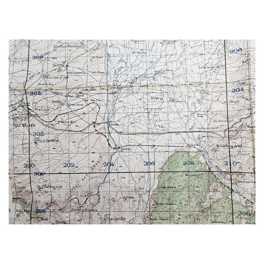
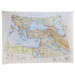
Tell Kalakh, Syria — Levant 1:50,000, Sheet NI-37-XIII-3b — 1942
Description:
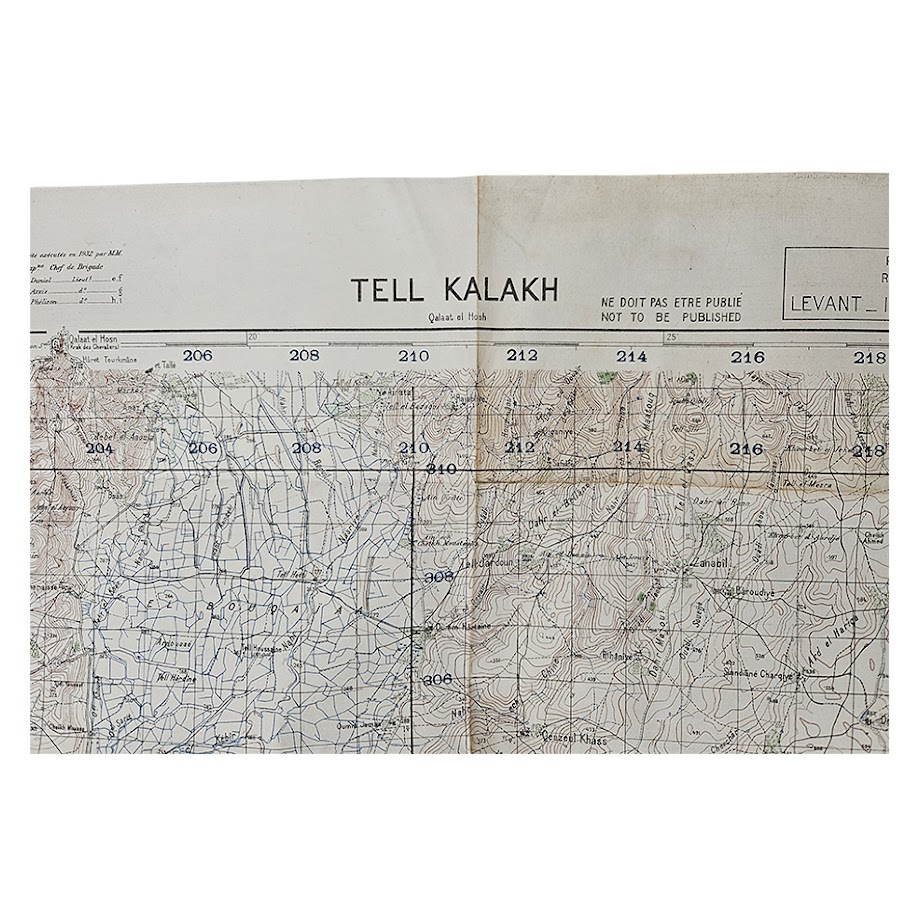
Title: Tell Kalakh
Series: Levant 1:50,000
Sheet: NI-37-XIII-3b
Date: 1942
Scale: 1:50,000
Sheet Size: 87.5 × 61.8 cm
Reference: P.D.R. 1510/3706
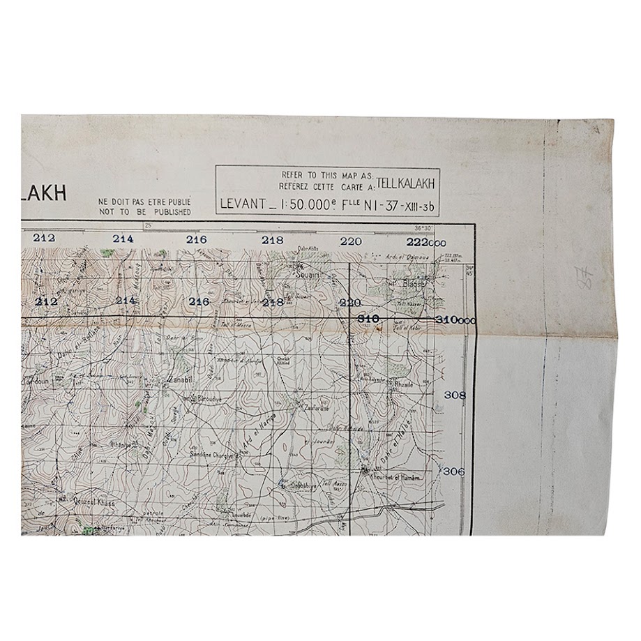
Military Restriction: “NE DOIT PAS ÊTRE PUBLIÉ / NOT TO BE PUBLISHED”
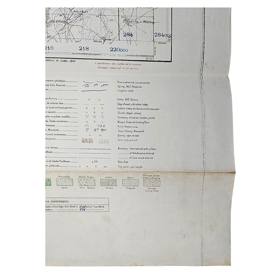
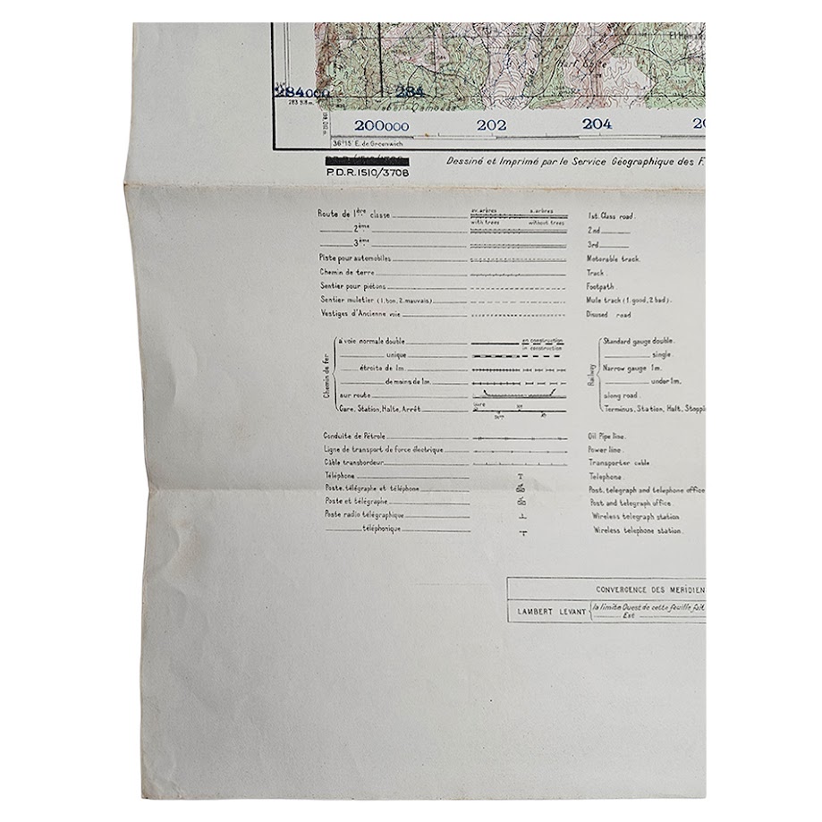
A scarce and highly detailed Second World War military map of Tell Kalakh in western Syria, issued in 1942 as Sheet NI-37-XIII-3b of the Levant 1:50,000 series. The map is prominently marked “NE DOIT PAS ÊTRE PUBLIÉ / NOT TO BE PUBLISHED”, identifying it as restricted military cartography intended for official use rather than public circulation. The sheet covers the strategically important Tell Kalakh district close to the Lebanese frontier, an area lying on the communications corridor between Homs, Tripoli and the northern Levant. It records settlements, principal and secondary roads, tracks, railway lines and stations, watercourses, springs, vegetation, cemeteries, tombs, quarries, ruins and extensive relief information through closely spaced contours and spot heights. Of particular historical and topographical interest, the sheet includes the Krak des Chevaliers district and associated Crusader-period remains, placing one of the most important medieval fortified landscapes in the Levant within its contemporary wartime military setting.
The sheet is bilingual in French and English and was drawn and printed by the Service Géographique des Forces Françaises Libres au Levant, continuing and adapting the pre-war French military survey tradition for Allied operational use during the Second World War. The marginal information identifies the Lambert Levant grid system, conventional signs, vegetation categories, roads, railways, pipelines, telegraph and telephone infrastructure, administrative boundaries and terrain features, making the map an exceptionally dense military-topographical record of the region in 1942. The printed note “Édition de Juillet 1942” establishes the wartime issue date.
This exact wartime state is institutionally documented. The Australian War Memorial holds a 1942 example of Tell Kalakh, Sheet NI-37-XIII-3b, reference P.D.R. 1510/3706, measuring approximately 89 × 63 cm and likewise marked “Not to be published.”
Institutional survival beyond Australia is limited but established. The CNRS cartographic archive records Tell Kalach / Tell Kalakh, NI-37-XIII-3b, with three examples of an earlier 1934 issue, while later institutional records document post-war or later revised states. The National Library of Israel also preserves Tell Kalakh sheets in its Eran Laor Cartographic Collection. What is significant here is that the specific 1942 Free French wartime state is much less commonly encountered than the pre-war or later revised versions. It is therefore best described as institutionally scarce rather than unique.
Condition: Very good for a large wartime military field map. Originally folded, with the expected fold lines, handling creases, light surface marking and occasional minor spotting. There is localised wear along some folds and edges, but the sheet remains substantially complete and the printed surface is clear and highly legible. The colour, contouring, grid and marginal information remain strong. Please study the photographs carefully as they form part of the description.
A particularly attractive and historically significant example of wartime Levant military cartography, combining Free French survey work, Allied operational geography and detailed topographical coverage of one of western Syria’s most strategically important districts.
Location: Map Drawer D. Sleeve Military A. 004177.
SHOP WITH CONFIDENCE AT HORNSEYS
At Hornseys, we are dedicated to offering items that uphold the highest standards of quality and authenticity. Our collection of artwork is carefully curated to ensure that each item we offer is authentic, collated, and complete.
Here’s what sets us apart:
- Authenticity and Provenance: Each map is researched and verified for authenticity.
- Expert Curation: We wholly own all our artworks. We trust our taste and have invested heavily in it. We have confidence in all artwork that we offer for sale.
- Customer Satisfaction: We strive to provide an exceptional customer experience, from detailed descriptions and provenance to secure and prompt delivery of your purchase.
- Returns Policy: We offer an unconditional guarantee on every item. If, however, you wish to make a return, artworks may be sent back to us within fourteen days of receipt for whatever reason. We request that we are notified in advance if you wish to do so. They must be returned to us in the same condition as they were sent for a full refund.
OUR COMMITMENT TO QUALITY AND SERVICE
Understanding the value and rarity of these items, we ensure that every aspect of your purchase meets the highest standards of quality and service. This includes:
- Free Expedited, Tracked, and Insured Delivery within the UK: Ensuring that your artwork arrives safely and promptly.
- Fully-Insured Worldwide Delivery: Offering peace of mind for international collectors with reliable and secure shipping options.
EXPLORE OUR COLLECTION
Visit Hornseys today to explore our fine collection of maps and other artworks. Whether you are an avid collector or looking for a special gift, our selection offers something truly unique. Located since 1976 in Ripon in the picturesque Yorkshire Dales, we are recognized as a destination gallery for tastefully curated artwork, rare maps, design, and fine books.