Al Jawf – Saudi Arabia, Jordan & Iraq – British Military Map – GSGS 4646, 1962
Description:
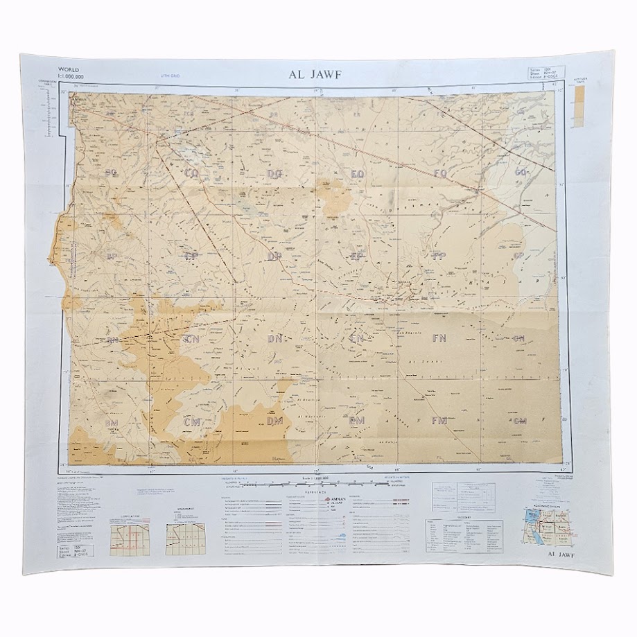
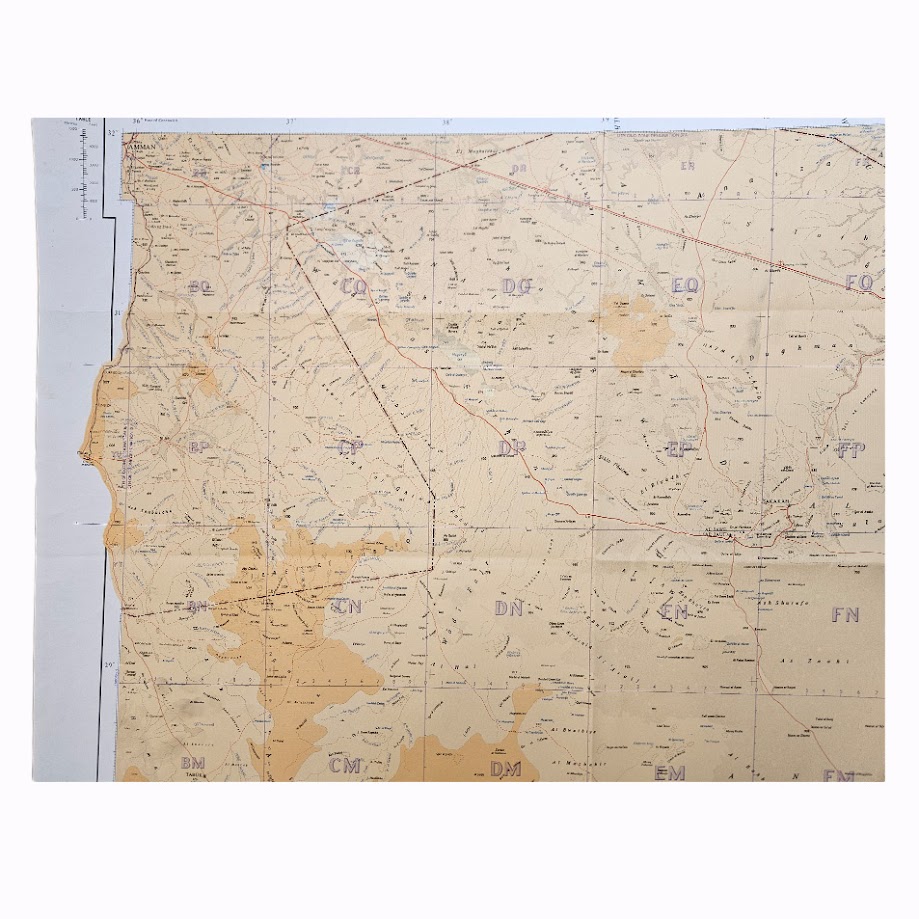
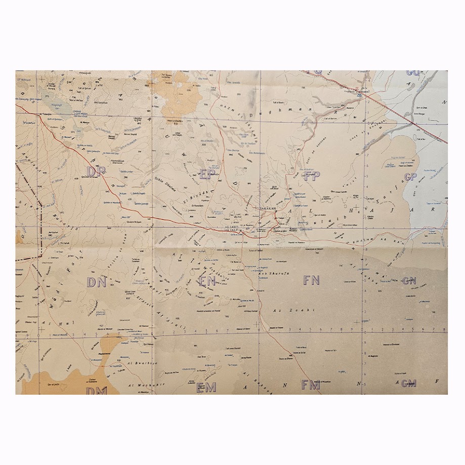
A scarce Cold War-period British military topographical map of Al Jawf and the surrounding regions of northern Saudi Arabia, Jordan and western Iraq, published in 1962 by the Directorate of Survey, War Office and Air Ministry. Issued in the World 1:1,000,000 series as Series 1301, Sheet NH-37, Edition 8-GSGS, the map was compiled by No. 1 Survey Production Centre, Royal Engineers and represents an authoritative British military survey of a strategically important area of the Middle East.
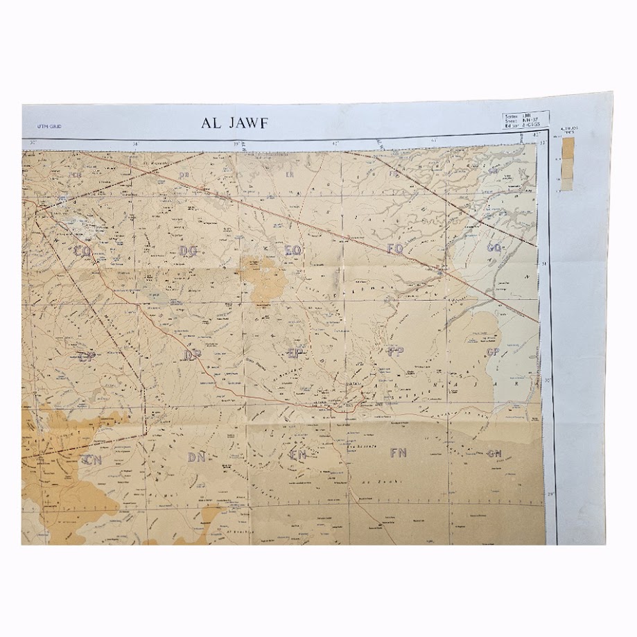
Centred upon Al Jawf and Sakakah in northern Saudi Arabia, the sheet extends westwards across Jordan towards Amman, south-west towards Tabuk, eastwards across the northern Arabian interior and north-east towards the Iraqi frontier. The vast Wadi Sirhan corridor is particularly prominent, together with the desert systems of the An Nafud, numerous wadis, wells, settlements, tracks and communications routes. The map records the region at a period when overland communications across the Arabian Peninsula were undergoing considerable development but large areas remained sparsely surveyed.
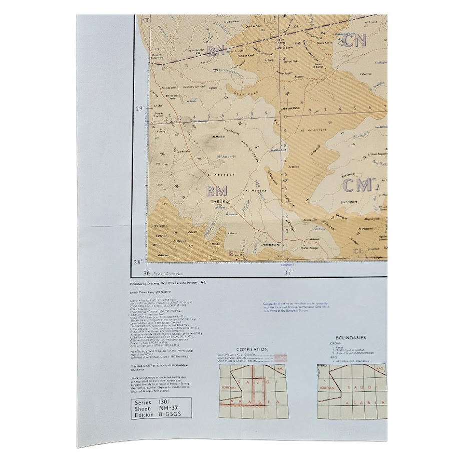
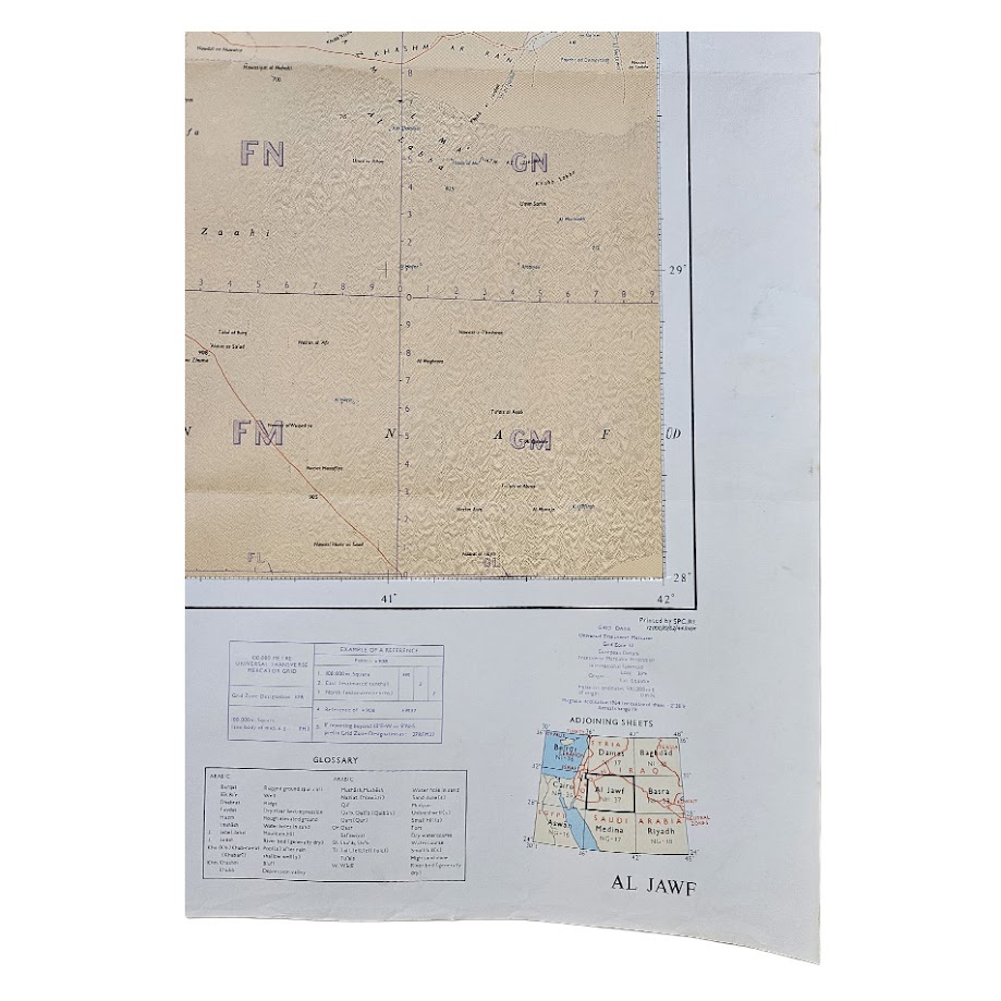
Printed at the scale of 1:1,000,000, it combines topographical information with relief shown through contours, altitude colouring and spot heights. Roads, tracks, international and administrative boundaries, watercourses, wells and settlements are carefully differentiated. A UTM grid is superimposed across the map, reflecting its intended military and operational use. The marginal information includes a glossary, key, boundary information, compilation diagrams, adjoining-sheet index and reference information.
The map belongs to the important GSGS Series 1301, the British military version of the International Map of the World at 1:1,000,000. Institutional cataloguing confirms the present issue as Al Jawf, Sheet NH-37, Edition 8-GSGS, published in 1962, compiled by No. 1 Survey Production Centre, Royal Engineers. The catalogued institutional example records that the underlying compilation was undertaken in 1958 from a variety of existing surveys and cartographic sources and describes the projection as a modified polyconic projection of the International Map of the World.
Earlier editions of Sheet NH-37 are preserved in major institutional map collections, including an earlier wartime issue in the University of Texas map collection, demonstrating the continuing strategic importance assigned to this sheet through the Second World War and into the Cold War. The 1962 Edition 8-GSGS is significantly less visible in institutional and commercial searches than some earlier or later Al Jawf maps. An institutional catalogue identifies an example at the University of Tokyo, while historical map-disposal records also confirm circulation of the 1962 GSGS issue.
The map is especially relevant to the history of British military cartography in the Middle East, the modern mapping of Saudi Arabia, Jordan and Iraq, and the development of communications and political boundaries across northern Arabia during the early Cold War.
Condition: Very good. Original horizontal and vertical folding creases, with minor handling and light age-related creasing. The sheet remains clean and complete, with strong printed colour and clear cartographic detail. No significant loss or intrusive manuscript annotation apparent. Please refer to the accompanying photographs for further detail.
Maker: Directorate of Survey, War Office and Air Ministry. Compiled by No. 1 Survey Production Centre, Royal Engineers
Series: World 1:1,000,000 – Series 1301
Sheet: NH-37 – Al Jawf
Edition: Edition 8-GSGS
Date: 1962
Scale: 1:1,000,000
Sheet Size: Approximately 66.0 × 68.6 cm
Area Shown: Northern Saudi Arabia, Jordan and western Iraq, including Al Jawf, Sakakah, Tabuk, Wadi Sirhan and the approaches towards Amman.
Location: Tube C: Middle East
Historical Context and Rarity
The significance of the sheet lies partly in its date. Published in 1962, it belongs to the period in which Britain still maintained considerable military and strategic interests throughout the Middle East. The GSGS system was designed to provide standardised mapping suitable for military planning over very large geographical areas, and the combination of conventional topography with a UTM grid reflects that operational purpose.
The Al Jawf sheet is particularly attractive geographically. It covers the meeting point of Jordan and Saudi Arabia and extends towards Iraq, encompassing a region historically important for desert communications, frontier administration and overland movement between the Levant and Arabian Peninsula.
Institutional research establishes the exact 1962 Edition 8-GSGS issue but suggests relatively limited representation of this edition in readily searchable collections. It should therefore be described as scarce, particularly as a separate surviving original sheet in this clean condition, rather than as uniquely rare.
SHOP WITH CONFIDENCE AT HORNSEYS
At Hornseys, we are dedicated to offering items that uphold the highest standards of quality and authenticity. Our collection of artwork is carefully curated to ensure that each item we offer is authentic, collated, and complete.
Here’s what sets us apart:
- Authenticity and Provenance: Each map is researched and verified for authenticity.
- Expert Curation: We wholly own all our artworks. We trust our taste and have invested heavily in it. We have confidence in all artwork that we offer for sale.
- Customer Satisfaction: We strive to provide an exceptional customer experience, from detailed descriptions and provenance to secure and prompt delivery of your purchase.
- Returns Policy: We offer an unconditional guarantee on every item. If, however, you wish to make a return, artworks may be sent back to us within fourteen days of receipt for whatever reason. We request that we are notified in advance if you wish to do so. They must be returned to us in the same condition as they were sent for a full refund.
OUR COMMITMENT TO QUALITY AND SERVICE
Understanding the value and rarity of these items, we ensure that every aspect of your purchase meets the highest standards of quality and service. This includes:
- Free Expedited, Tracked, and Insured Delivery within the UK: Ensuring that your artwork arrives safely and promptly.
- Fully-Insured Worldwide Delivery: Offering peace of mind for international collectors with reliable and secure shipping options.
EXPLORE OUR COLLECTION
Visit Hornseys today to explore our fine collection of maps and other artworks. Whether you are an avid collector or looking for a special gift, our selection offers something truly unique. Located since 1976 in Ripon in the picturesque Yorkshire Dales, we are recognized as a destination gallery for tastefully curated artwork, rare maps, design, and fine books.