Three U.S. Army Map Service Maps of Northern Japan, South Sakhalin and the Kuril Islands – Otomari, Etorofu-Jima & Shimushiru-To – AMS 5301 – 1943-1944
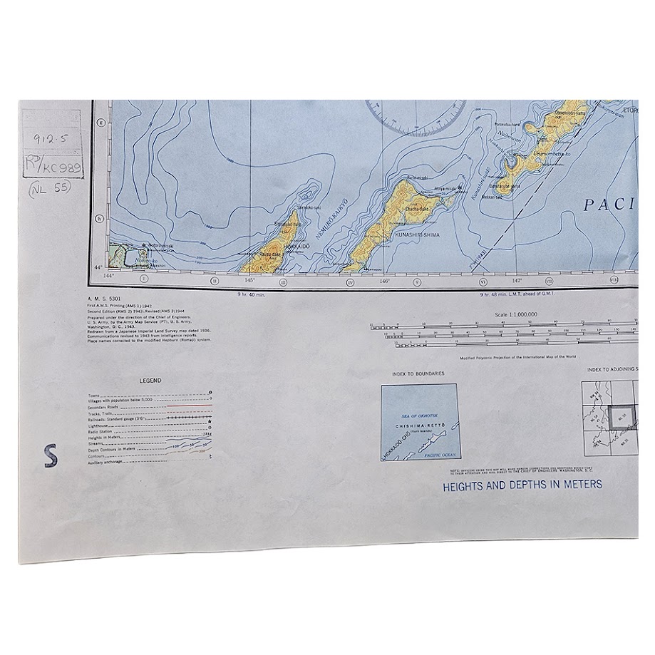
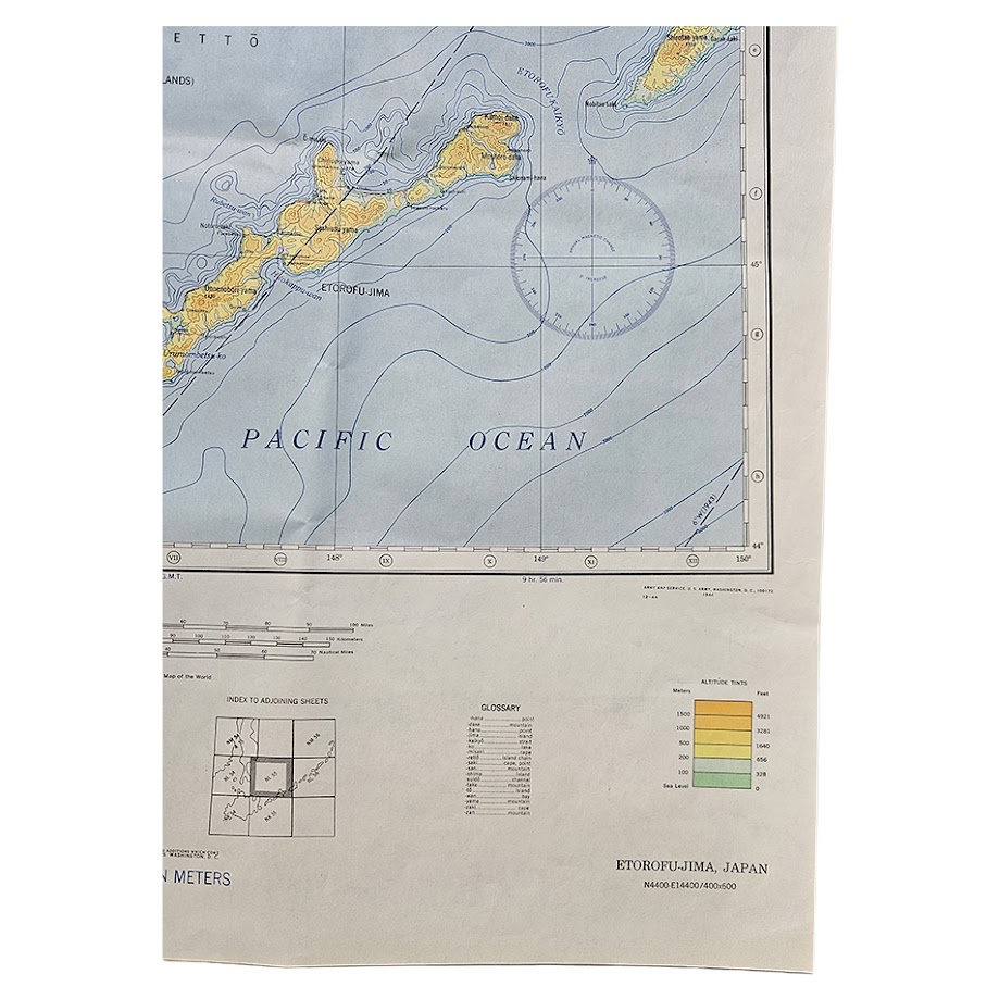
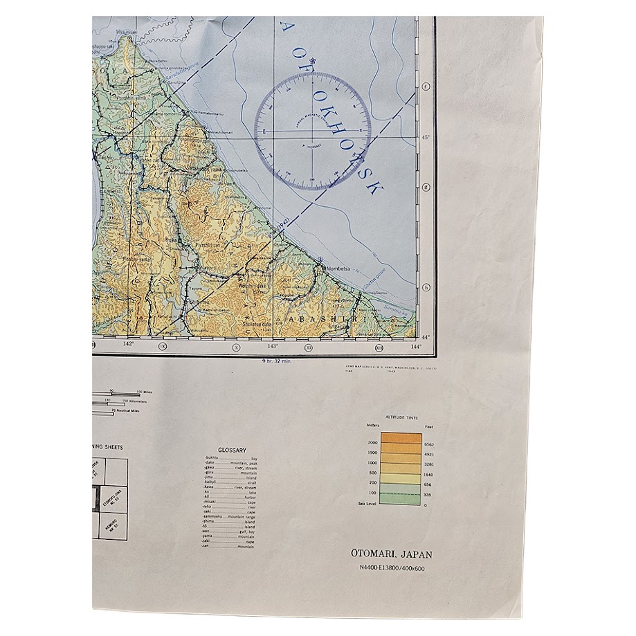
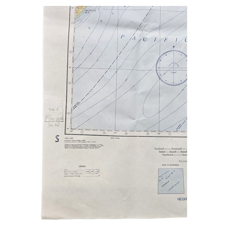
Description: A very attractive group of three original Second World War U.S. Army Map Service, Eastern Asia 1:1,000,000 sheets covering one of the most strategically sensitive parts of the Japanese Empire in the closing phase of the Pacific War: southern Sakhalin and the Kuril Islands. The group comprises Otomari, Sheet NL 54; Etorofu-Jima, Sheet NL 55; and Shimushiru-To, Sheet NL 56, all from AMS Series 5301, produced under the direction of the Chief of Engineers, U.S. Army. The Army Map Service records Series 5301 as its wartime Eastern Asia 1:1,000,000 mapping programme of 1944–45.
The three adjoining sheets form an unusually evocative cartographic sequence extending north-eastwards from Hokkaido and Japanese Karafuto (southern Sakhalin) through the southern and central Kuril Islands, between the Sea of Japan, Sea of Okhotsk and Pacific Ocean. The maps are particularly handsome examples of American wartime cartography, with extensive blue hydrography and bathymetric contours, yellow, green and brown altitude tints, communications, settlements, submarine cables, anchorages and prominent circular aeronautical or navigational information.
The first sheet, Otomari – NL 54, is marked Second Edition – AMS 2 and covers southern Sakhalin, then the Japanese prefecture of Karafuto, together with northern Hokkaido, La Pérouse/Soya Strait and adjoining waters. Contemporary surviving examples of NL 54 are documented within the AMS 5301 series, including wartime cloth-chart versions paired with neighbouring sheets. One dealer records the NL 54 Second Edition as a 1944 Army Map Service production, while another surviving AAF cloth-chart example has been traced through OCLC to the University of Michigan.
The second sheet, Etorofu-Jima – NL 55, marked Second Edition – AMS 3, is especially significant. It covers Etorofu (Iturup), Kunashiri and neighbouring islands of the southern Kurils, with the Sea of Okhotsk to the north and Pacific Ocean to the south. The precise sheet NL-55 Etorofu-Jima, 1944 is independently recorded in a surviving institutional map-disposal list, confirming this wartime issue. Etorofu has a particularly strong Second World War association: in November 1941 the Japanese carrier striking force assembled at Hitokappu Bay on Etorofu before departing on 26 November for the attack on Pearl Harbor. Contemporary Japanese operational orders specifically instructed the Carrier Striking Task Force to complete preparations and depart secretly from Hitokappu Bay on that date.
The third sheet, Shimushiru-To – NL 56, carries the designation First Edition – AMS 2 and continues north-east along the Kuril chain into the Pacific. The AMS 5301 series index specifically records Shimushiru-To, Japan, NL 56, alongside Otomari NL 54 and Etorofu-Jima NL 55, confirming the three sheets as consecutive components of the same Eastern Asia military mapping programme.
Their wartime significance became even greater only months after these editions were produced. In August 1945, the Soviet Union entered the war against Japan and launched operations against South Sakhalin and the Kuril Islands. U.S. State Department historical documentation confirms that Soviet entry into the war occurred on 8 August 1945 and that the occupation of the Kurils followed within the framework of the Yalta settlement. The Soviet offensive transformed the political geography represented on these maps: Japanese Karafuto was occupied and incorporated into the Soviet Union, while the Kuril chain passed under Soviet control. The territorial consequences remain politically significant today, with Japan and Russia still lacking a formal post-war peace treaty principally because of the continuing dispute over the southern Kuril islands.
These particular copies also retain contemporary library markings, including pencilled or inked classification/shelf numbers in the left margins and large blue “S” marks. These should be regarded as part of the maps’ institutional provenance and history rather than later decorative additions. No attempt has been made to identify the originating library without documentary evidence.
Condition: Good to very good condition overall. All three sheets retain their original folds, with general wartime/institutional handling, light creasing, slight age-toning and occasional marginal marks. There are small areas of staining or soiling towards some upper margins and localised fold wear, but the printed cartography remains complete, vivid and highly legible. The contemporary library shelf marks and blue institutional stamps or marks remain visible in the margins. Please study the photographs carefully as they form an important part of the condition assessment.
Titles: Otomari; Etorofu-Jima; Shimushiru-To
Series: Eastern Asia 1:1,000,000 – AMS 5301
Authority: Army Map Service, U.S. Army
Date: 1944 wartime issues
Sheets: NL 54, NL 55 and NL 56
Editions: Otomari –AMS 2; Etorofu-Jima –AMS 3; Shimushiru-To –AMS 2
Scale: 1:1,000,000
Sheet sizes: 60.4 × 66 cm; 56 × 66 cm; 56.2 × 66 cm
Areas: South Sakhalin/Karafuto, Hokkaido, Etorofu/Iturup, Kunashiri and the Kuril Islands
Provenance: Former institutional/library copies with surviving shelf marks and library markings
Every map offered by Hornseys is handled, inspected and catalogued individually in-house, with edition, imprint, institutional markings, condition and cartographic content assessed directly from the original sheets wherever possible.
SHOP WITH CONFIDENCE AT HORNSEYS
At Hornseys, we are dedicated to offering items that uphold the highest standards of quality and authenticity. Our collection of artwork is carefully curated to ensure that each item we offer is authentic, collated, and complete.
Here’s what sets us apart:
- Authenticity and Provenance: Each map is researched and verified for authenticity.
- Expert Curation: We wholly own all our artworks. We trust our taste and have invested heavily in it. We have confidence in all artwork that we offer for sale.
- Customer Satisfaction: We strive to provide an exceptional customer experience, from detailed descriptions and provenance to secure and prompt delivery of your purchase.
- Returns Policy: We offer an unconditional guarantee on every item. If, however, you wish to make a return, artworks may be sent back to us within fourteen days of receipt for whatever reason. We request that we are notified in advance if you wish to do so. They must be returned to us in the same condition as they were sent for a full refund.
OUR COMMITMENT TO QUALITY AND SERVICE
Understanding the value and rarity of these items, we ensure that every aspect of your purchase meets the highest standards of quality and service. This includes:
- Free Expedited, Tracked, and Insured Delivery within the UK: Ensuring that your artwork arrives safely and promptly.
- Fully-Insured Worldwide Delivery: Offering peace of mind for international collectors with reliable and secure shipping options.
EXPLORE OUR COLLECTION
Visit Hornseys today to explore our fine collection of maps and other artworks. Whether you are an avid collector or looking for a special gift, our selection offers something truly unique. Located since 1976 in Ripon in the picturesque Yorkshire Dales, we are recognized as a destination gallery for tastefully curated artwork, rare maps, design, and fine books.