
Showing 33–45 of 45 resultsSorted by latest
-
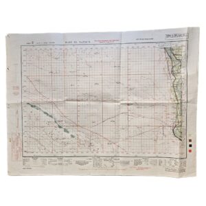
Wadi el Natrun, Egypt – British Army Military Map Printed on the Reverse of a Cancelled German Sidi Barrani Map – 512 Field Survey Company, Royal Engineers – 1942
£225.00512 Field Survey Company, Royal Engineers
-
-
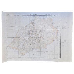
St Helena – G.S.G.S. No. 1853A – Second Edition dated 1941 – Ordnance Survey Printing of 500 Copies – 1959
£495.00War Office / Geographical Section, General Staff & The Ordnance Survey
-
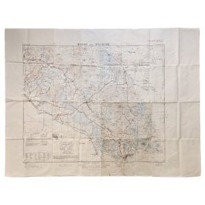
Johore and Singapore – British War Office Military Map – G.S.G.S. 4305 – First Edition – 1942
£995.00Geographical Section, General Staff / War Office
-
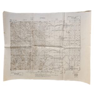
Moirang, Manipur – Restricted IV Corps Battle Map – Road to Imphal – June 1944 – First Edition
£245.00Survey H.Q., IV Corps
-
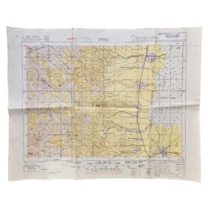
Moirang, Manipur – Restricted British Fourteenth Army Battle Map – Road to Imphal – June 1944 – Second Edition
£195.00Survey H.Q., Fourteenth Army
-
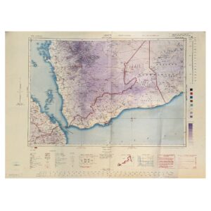
Aden – Second World War Military and Aeronautical Map of the Aden Protectorate, Yemen and Hadhramaut – 1945
£795.00Geographical Section, General Staff / War Office
-
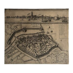
KYNGESTON UPON HULL – KINGSTON UPON HULL – THE SIEGE OF HULL – THE TOWNE OF HULL – c.1680-1690
£650.00Hollar, Wenceslaus
-

-

Map Of The Frontier Provinces Of Turkey Russia & Austria The Black Sea &c
£85.00George Philip & Son
-

-

-
