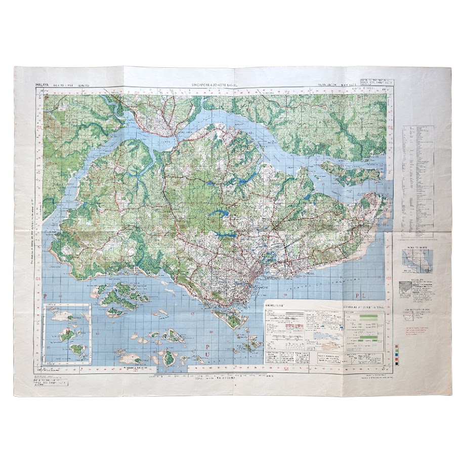
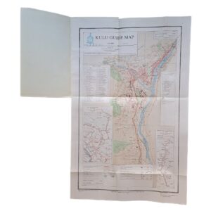
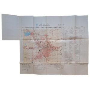
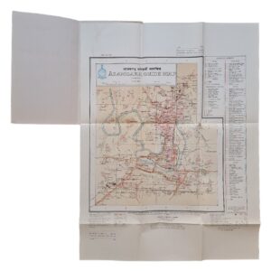
Singapore & Johore Bahru – HIND 1035, Sheet 3L/12, Fourth Edition, June 1945
Description
Allied Land Forces South East Asia – 7 Indian Air Survey Company – 110 Map Production Company, Royal Engineers
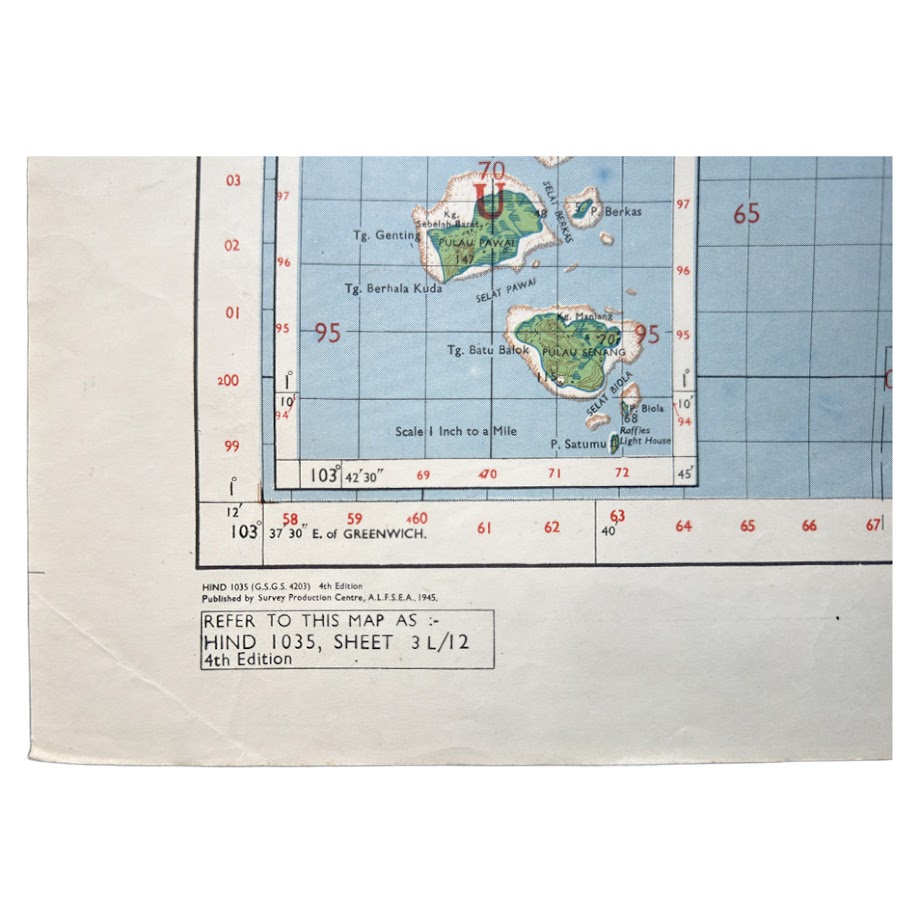
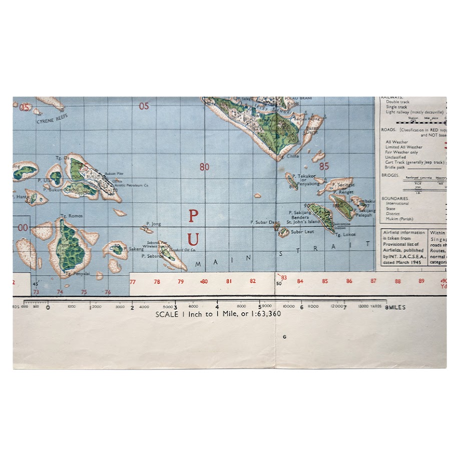
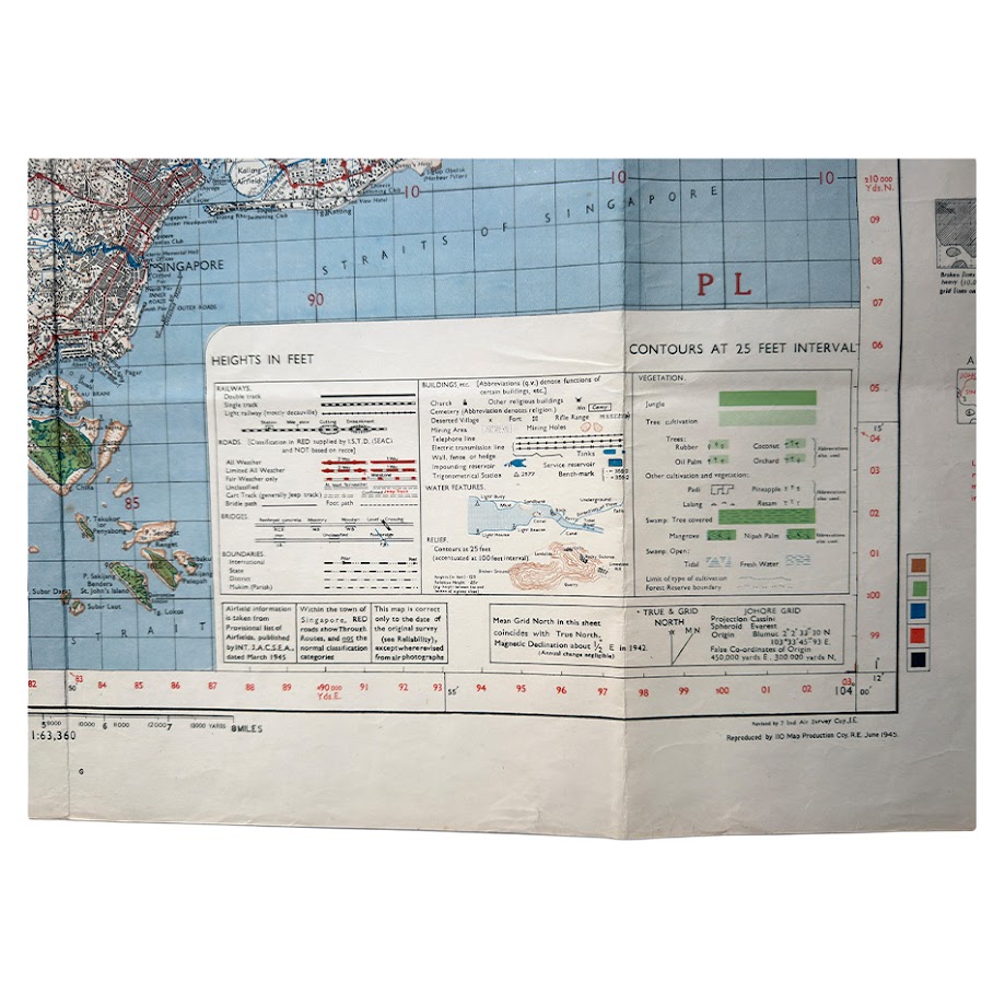
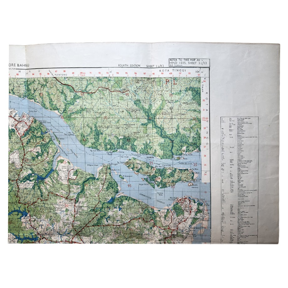
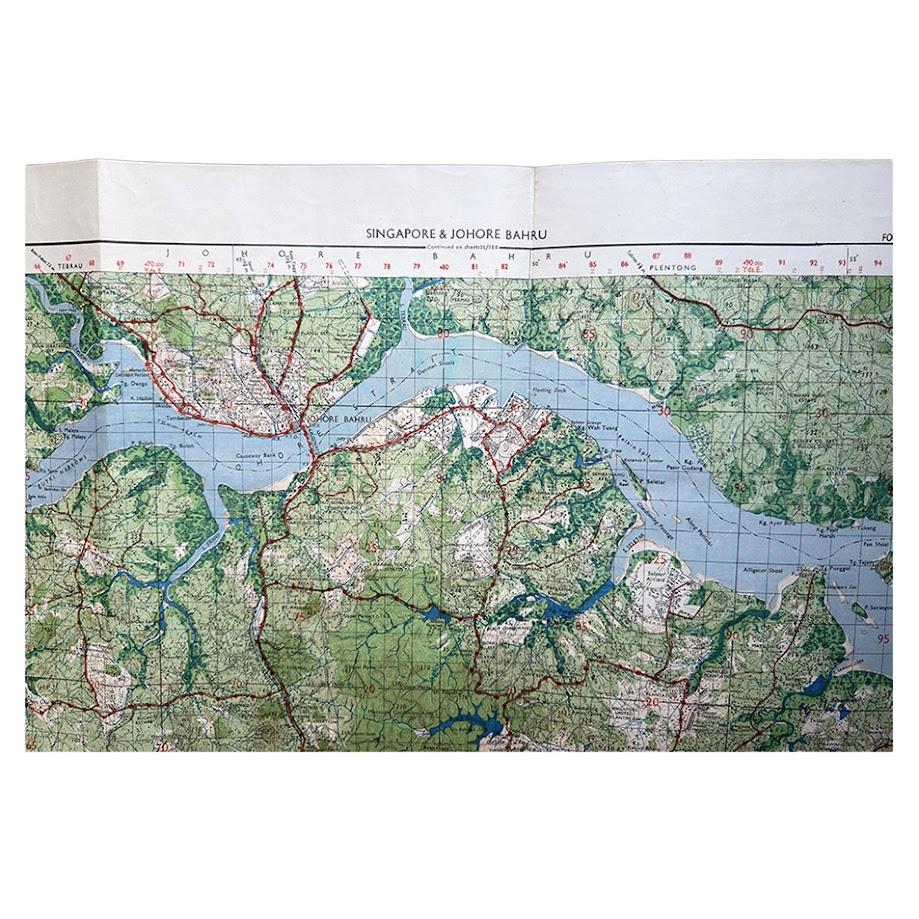
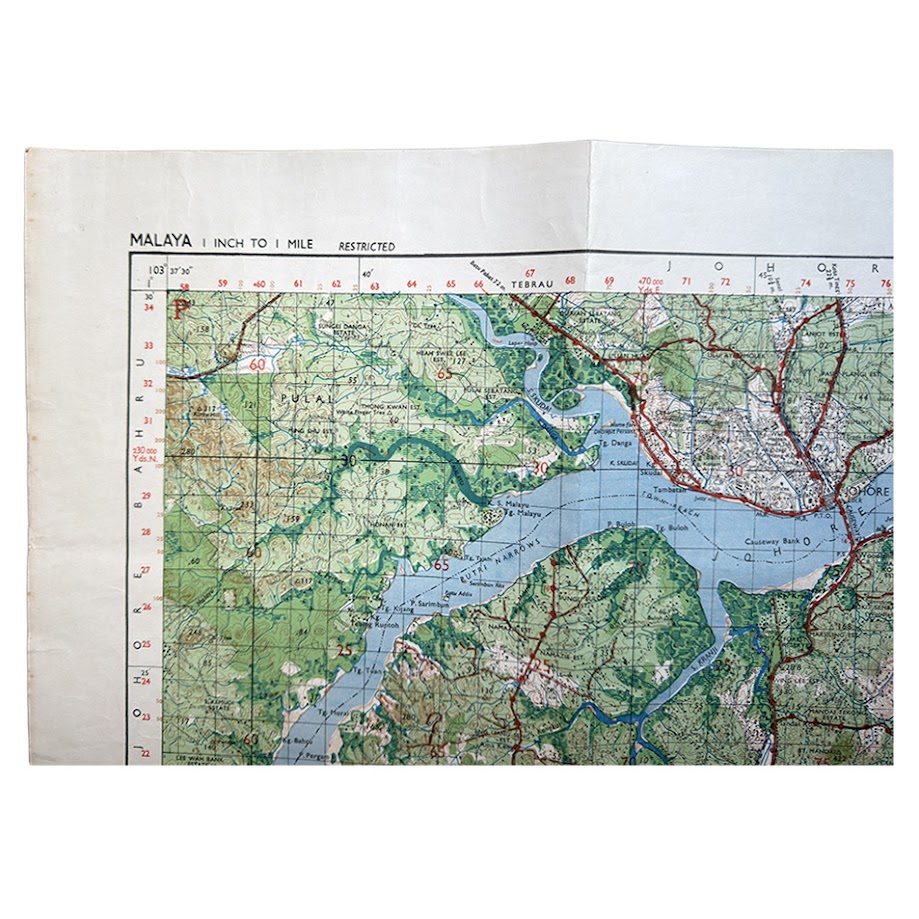
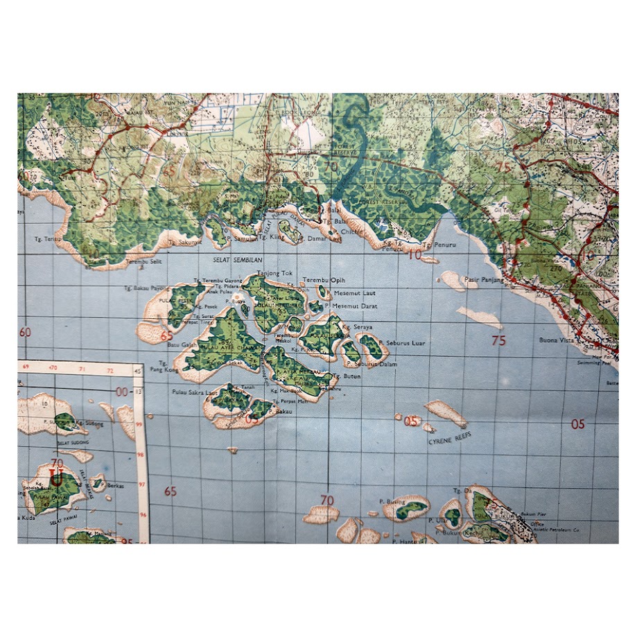
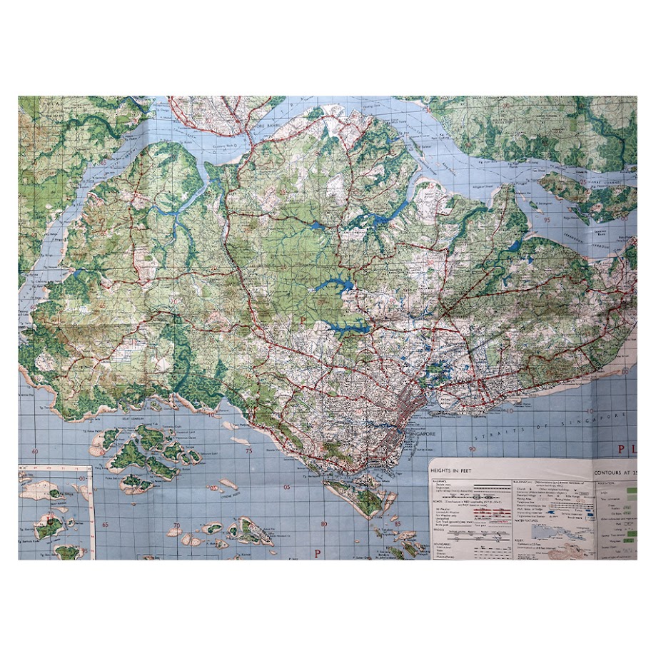
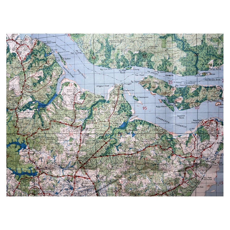
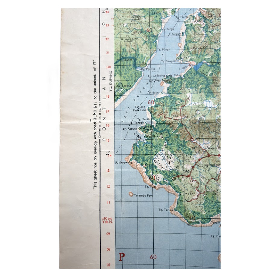
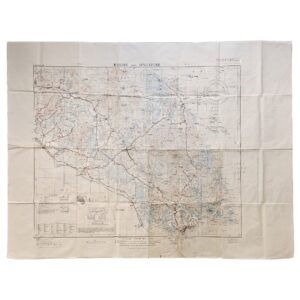
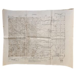
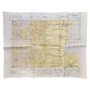
An important and exceptionally well-preserved Second World War Allied military map of Singapore and Johore Bahru, issued in June 1945 during the final months of the Japanese occupation of Singapore. Published by the Survey Production Centre, Allied Land Forces South East Asia (A.L.F.S.E.A.), revised by the 7 Indian Air Survey Company, I.E., and reproduced by the 110 Map Production Company, Royal Engineers, this is HIND 1035 (G.S.G.S. 4203), Sheet 3L/12, Fourth Edition, at the large and highly detailed scale of one inch to one mile, or 1:63,360.
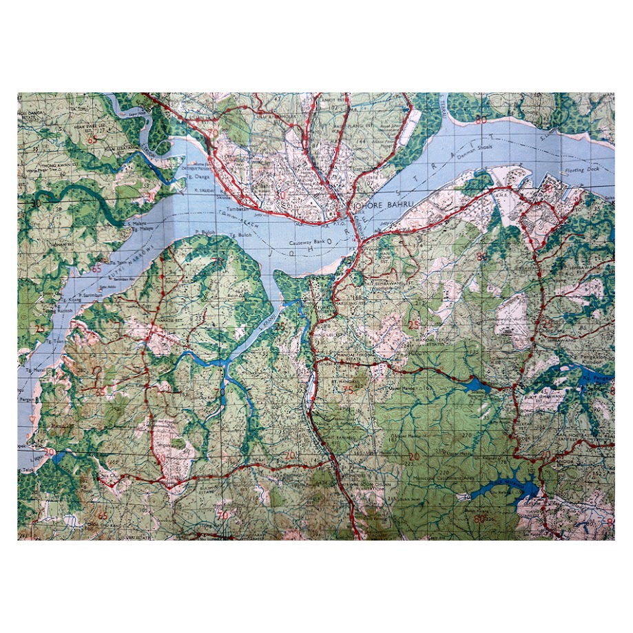
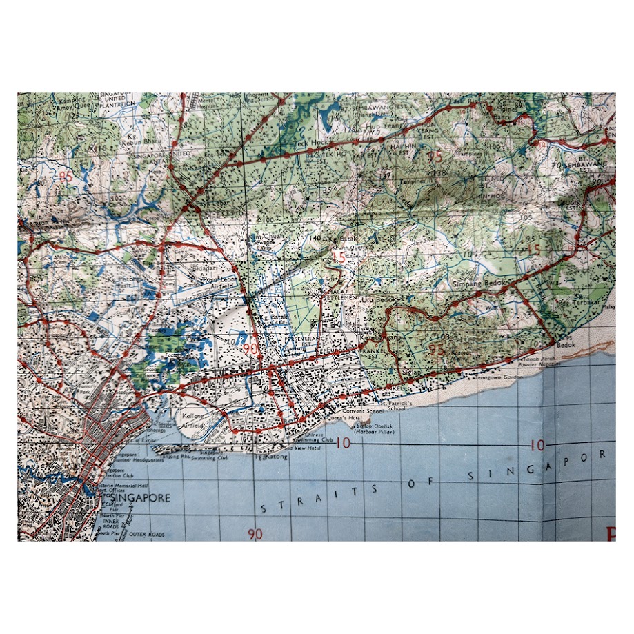
The map covers the whole of Singapore Island together with the Straits of Johore, Johore Bahru, the southern extremity of the Malay Peninsula and the islands and channels surrounding Singapore. It is considerably more than a conventional topographical map. Its cartography represents an accumulation of pre-war survey work, wartime aerial reconnaissance and contemporary Allied intelligence, assembled while Singapore remained in Japanese hands.
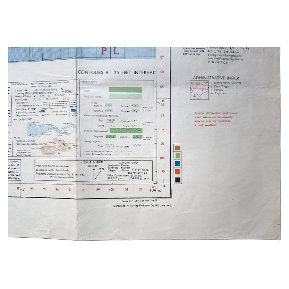
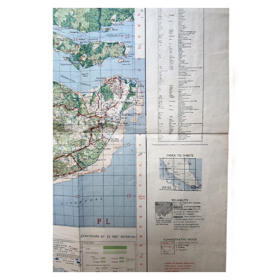
The National Archives of Singapore records this exact edition and notes that its basic cartography derived from Federated Malay States surveys up to 1941, but that substantial areas were revised from aerial photographs taken in November 1944 and January and February 1945. Further information came from 1:25,000 mapping, while road classification and intelligence were supplied by the Intelligence Section, South East Asia Command, and airfield information was taken from an Allied provisional airfield list dated March 1945. The result is effectively a cartographic intelligence portrait of Singapore only months before the end of the Pacific War.
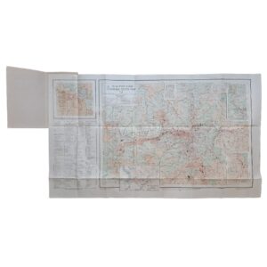
The map records Singapore with remarkable density. Singapore city and its surrounding settlements are shown with road and rail communications, docks and harbour installations, military and civil infrastructure, airfields, reservoirs, forest reserves, rubber estates, mangrove areas, cultivation, waterways, relief and individual built-up areas. Johore Bahru and the strategically critical Johore–Singapore Causeway are prominently depicted. An inset extends coverage to Pulau Sudong, Pulau Pawai, Pulau Senang and Pulau Satumu, including Raffles Lighthouse. The extensive marginal apparatus includes a detailed legend, administrative information, road classifications, vegetation symbols, reliability information and other material intended for operational military use.
Its historical context is especially significant. Singapore had fallen to Japanese forces in February 1942 and remained under occupation until September 1945. This map was therefore produced not as a retrospective record, but as a working Allied military document while the territory was still enemy-held. The use of very recent aerial photography and intelligence makes it a highly immediate record of the island at the end of one of the most consequential periods in its modern history.
Singapore as a cartographic subject
The importance of the sheet extends well beyond its wartime context. Singapore occupies one of the most strategically important geographical positions in the world, controlling access between the Indian Ocean and the South China Sea through the Straits of Malacca and Singapore. Its maritime significance long predates British rule: the National Library Board describes Singapore as a major maritime gateway since at least the fourteenth century and as an essential point of passage between eastern and western trading systems.
That geographical importance has only increased. Modern Singapore has developed from colonial entrepôt and wartime fortress into one of the world’s principal commercial, financial, logistics and maritime centres. Its port now connects with more than 600 ports worldwide, while Singapore handled a record 44.66 million TEUs of container traffic and 3.22 billion gross tonnes of vessel arrivals in 2025. Its strategic location at the intersection of the world’s principal Asian, European and Middle Eastern trade routes remains fundamental to its modern economic importance.
This transformation gives historical maps of Singapore an unusually strong interpretative value. They document not merely the changing street pattern of a city, but the physical development of a small island that became one of the principal nodes of the global economy. On this 1945 sheet much of modern Singapore’s later expansion is still readable in embryonic form: the historic urban core, port infrastructure, communications, reservoirs, military installations, airfields and the relatively undeveloped areas subsequently absorbed into one of the world’s most intensively urbanised states.
The importance of this particular map has been recognised institutionally. The National University of Singapore has digitised this exact Fourth Edition as part of its Historical Maps of Singapore project, identifying it specifically as Singapore & Johore Bahru, HIND 1035, Sheet 3L/12, 4th Edition, 1945. The National Archives of Singapore also holds examples and illustrates a 1945 Allied military topographical map of Singapore in discussing the development of Singaporean cartography and the transition towards aerial-survey mapping in the 1940s. An example of the same June 1945 edition is preserved by the Australian War Memorial, whose catalogue records the map’s coverage of harbour facilities, roads, railway, airfields, industrial sites, government buildings, reservoirs, forest reserves, rubber estates and other strategic features.
There is a particularly interesting technological dimension. The National Archives of Singapore identifies the 1940s as the period in which aerial photography began to transform Singaporean mapping, progressively replacing slower ground-based survey methods and becoming fundamental to post-war planning. This June 1945 sheet belongs directly to that transition: it combines traditional survey cartography with intelligence derived from recent reconnaissance photography and can therefore be regarded as both a military document and an early product of the modern aerial-survey era.
Condition
Very good plus. A particularly clean and attractive example, substantially superior to many surviving working military maps of the period. Original fold lines as issued, with only light handling and minor age-related evidence. The paper remains notably clean, the margins are well preserved and the printed colours remain strong and fresh. The dense cartographic detail is crisp and clearly legible throughout. Wartime operational maps of this format were intended for practical use rather than long-term preservation, making the survival of such a large sheet in this state especially desirable.
Publisher: Survey Production Centre, Allied Land Forces South East Asia
Survey: 7 Indian Air Survey Company, I.E.
Printing: 110 Map Production Company, Royal Engineers
Series: HIND 1035 / G.S.G.S. 4203
Sheet: 3L/12
Edition: Fourth Edition
Date: June 1945
Scale: 1:63,360 / One Inch to One Mile
Sheet Size: 63.4 × 83.4 cm
Stock Number: 004129
Location: Map Drawer D
SHOP WITH CONFIDENCE AT HORNSEYS
At Hornseys, we are dedicated to offering items that uphold the highest standards of quality and authenticity. Our collection of artwork is carefully curated to ensure that each item we offer is authentic, collated, and complete.
Here’s what sets us apart:
- Authenticity and Provenance: Each map is researched and verified for authenticity.
- Expert Curation: We wholly own all our artworks. We trust our taste and have invested heavily in it. We have confidence in all artwork that we offer for sale.
- Customer Satisfaction: We strive to provide an exceptional customer experience, from detailed descriptions and provenance to secure and prompt delivery of your purchase.
- Returns Policy: We offer an unconditional guarantee on every item. If, however, you wish to make a return, artworks may be sent back to us within fourteen days of receipt for whatever reason. We request that we are notified in advance if you wish to do so. They must be returned to us in the same condition as they were sent for a full refund.
OUR COMMITMENT TO QUALITY AND SERVICE
Understanding the value and rarity of these items, we ensure that every aspect of your purchase meets the highest standards of quality and service. This includes:
- Free Expedited, Tracked, and Insured Delivery within the UK: Ensuring that your artwork arrives safely and promptly.
- Fully-Insured Worldwide Delivery: Offering peace of mind for international collectors with reliable and secure shipping options.
EXPLORE OUR COLLECTION
Visit Hornseys today to explore our fine collection of maps and other artworks. Whether you are an avid collector or looking for a special gift, our selection offers something truly unique. Located since 1976 in Ripon in the picturesque Yorkshire Dales, we are recognized as a destination gallery for tastefully curated artwork, rare maps, design, and fine books.