-

-

-

-

-

-

-

-

-
-

-

-

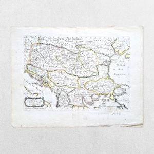
Map Of The Frontier Provinces Of Turkey Russia & Austria The Black Sea &c
£85.00George Philip & Son
-
-

-
-

-

-

-

-

-

-

-

(Arctic, Nova Zembla) Partie De La Mer Glaciale Contenant La Nouvelle Zemble Et Le Pays Des Samoiedes
£85.00Bellin, Jacques Nicolas
-

-

Sketch Map Of Mount Everest From Surveys Of The Expeditions Of 1921 And 1924 With Geology Added By N E Odell – Digital Print – 59.4mm x 534mm
£80.00The Royal Geographical Society & N. E. Odell
-

PLAN DE LA BAIE DE LA CONCEPTION SITUEE DANS LE CHILI – ORIGINAL COPPER ENGRAVED MAP
£80.00de Galaup, Jean-François, Comte de La Pérouse
-
-

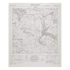
Geological Survey of England and Wales / Ordnance Survey – Solid Edition Sheet 8: Flamborough & Humber – 1935 – Folding Map
£75.00Geological Survey of England and Wales / Ordnance Survey
-
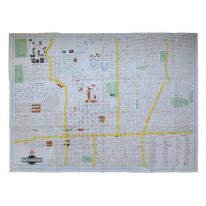
South Africa – Visitor’s Guide To Johannesburg – Folding Map
£75.00Map Studio Productions & City Guide System Ltd
-

-

-