Tectonic Map of the Arabian Peninsula — Glen F. Brown — Saudi Arabia / U.S. Geological Survey, 1972
Description:
Author / Compiler: Glen F. Brown
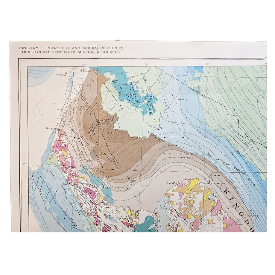
Publisher: Kingdom of Saudi Arabia, Ministry of Petroleum and Mineral Resources, Directorate General of Mineral Resources
Series: Arabian Peninsula Series, Map AP-2
Date: 1972
Scale: 1:4,000,000
Sheet Size: 62.1 × 99.8 cm
Catalogue Number: 004173
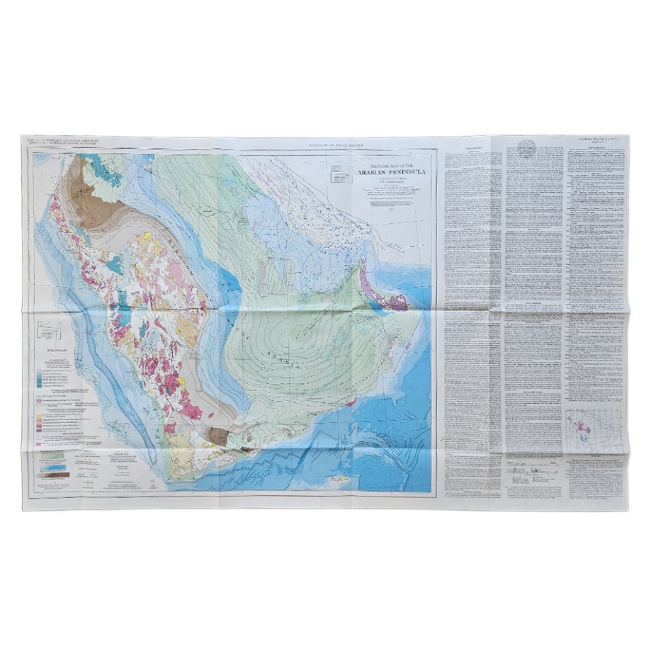
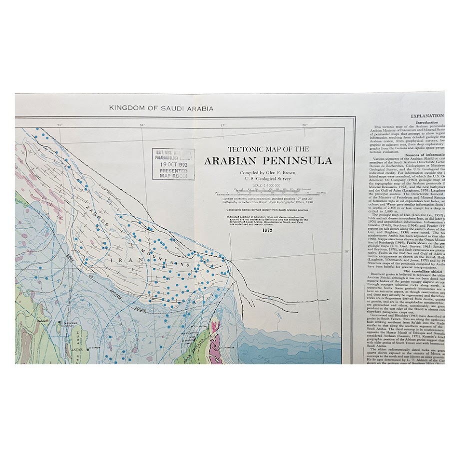
A highly important and visually impressive tectonic map of the Arabian Peninsula, compiled by the distinguished American geologist Glen F. Brown (1911–2001) of the U.S. Geological Survey for the Kingdom of Saudi Arabia, Ministry of Petroleum and Mineral Resources, Directorate General of Mineral Resources. Published in Jiddah in 1972 as Arabian Peninsula Series, Map AP-2, this large folding map represents one of the significant products of the long-running Saudi–American geological programme which transformed scientific understanding of the geology, mineral resources and tectonic structure of Saudi Arabia and the wider Arabian Peninsula during the mid-twentieth century. The U.S. Geological Survey records the map separately as Open-File Report 72-52, describing it as the first of a series of peninsula-wide maps intended to present regional geological features.
Brown’s map brought together an unusually broad body of contemporary geological evidence. The explanatory text states that it incorporated results from detailed geological mapping of the Arabian craton, airborne and marine geophysical surveys, exploratory drilling, geological work in the adjoining seas, and photographic information derived from the Gemini and Apollo space programmes. It therefore belongs to a particularly important moment in the development of plate-tectonic interpretation, when new geophysical and space-derived data were rapidly changing understanding of the Red Sea, Gulf of Aden, Arabian Shield and surrounding sedimentary basins.
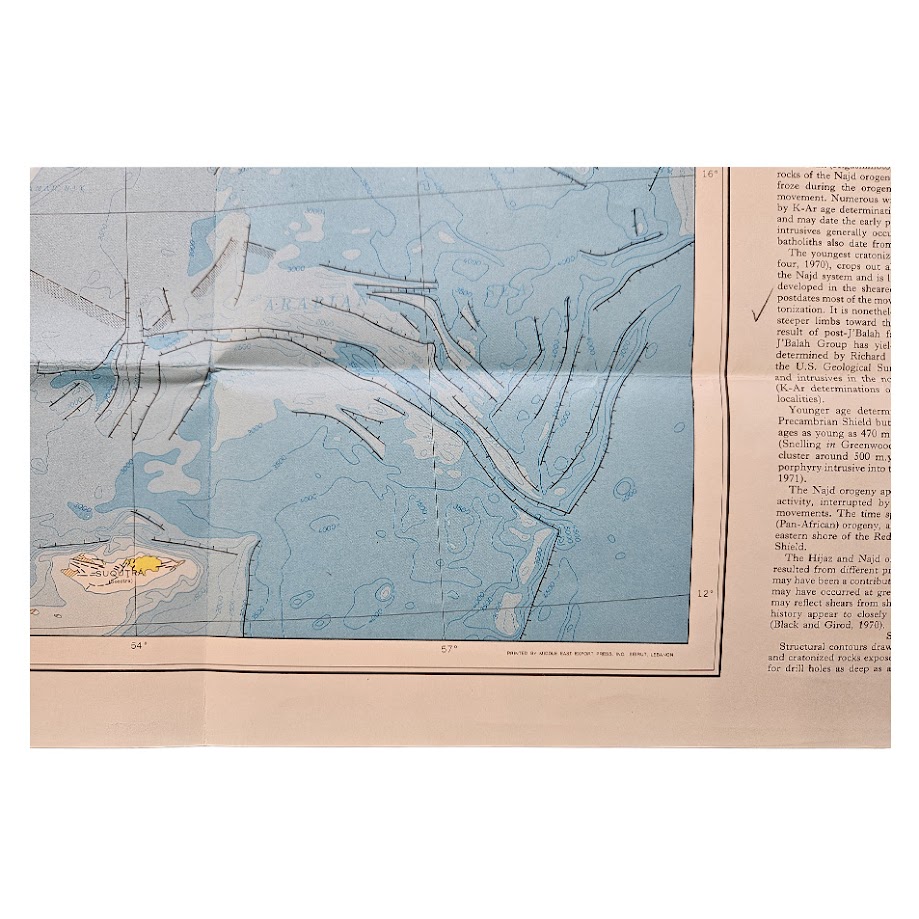
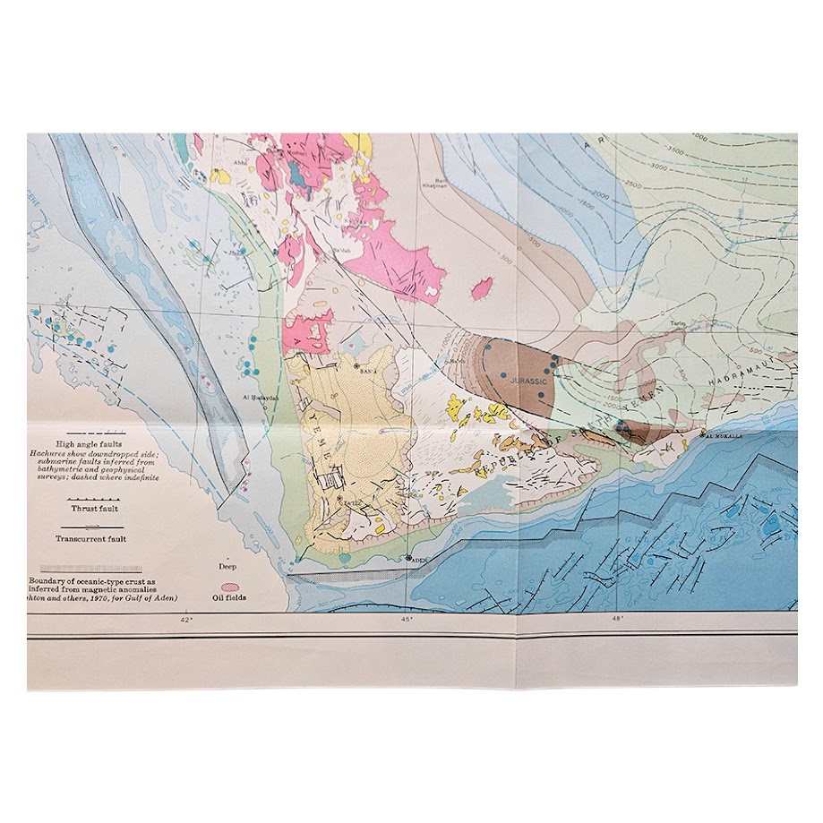
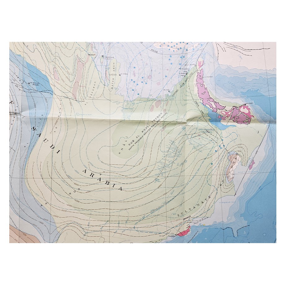
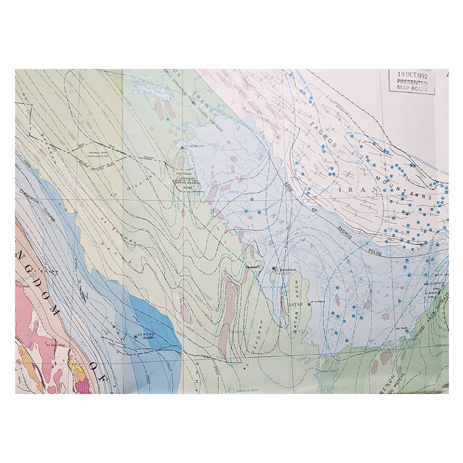
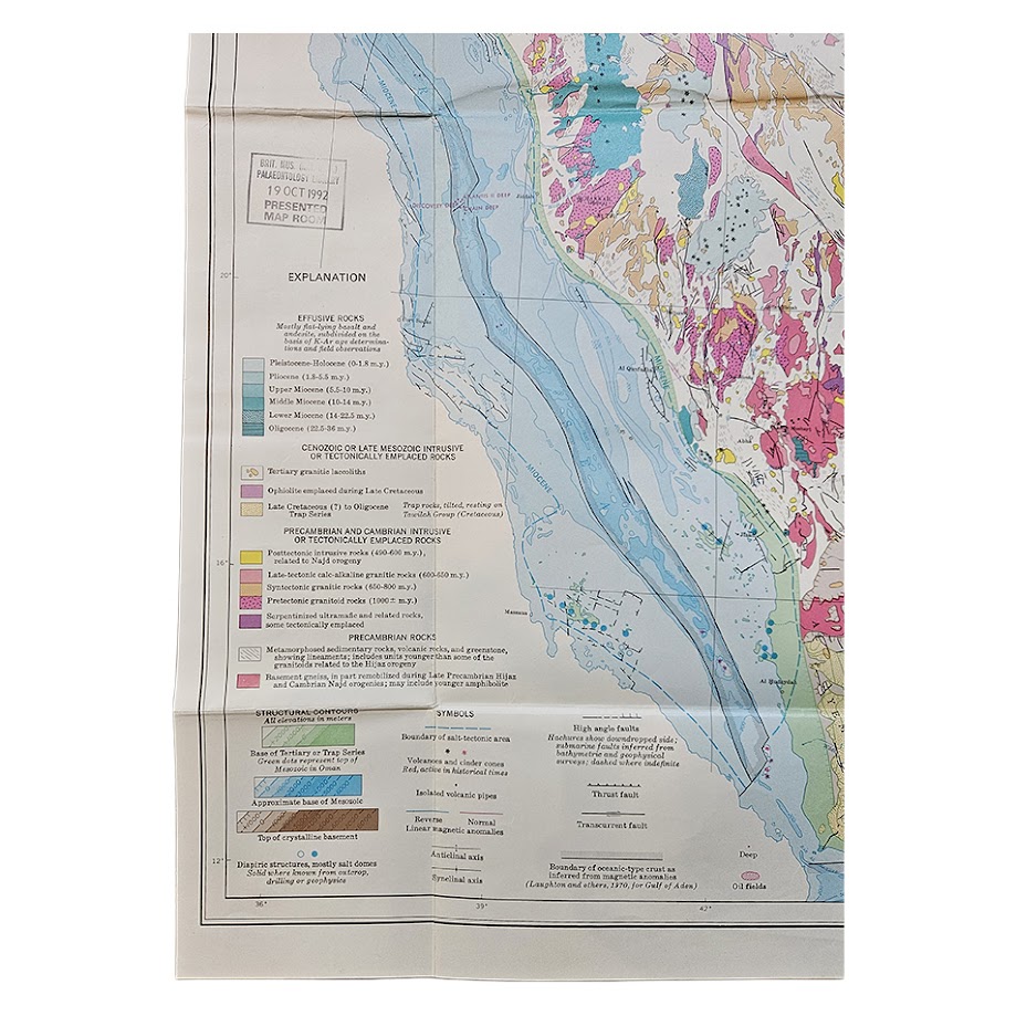
Printed in numerous colours, the map shows the principal tectonic provinces of the Arabian Peninsula and adjacent regions, extending from the Red Sea and western Saudi Arabia across the Arabian Shield and central platform to the Persian Gulf, Oman and the Gulf of Aden. It differentiates Precambrian basement rocks, intrusive and metamorphic complexes, volcanic provinces, younger sedimentary sequences, structural boundaries, major fault and fold systems, thrusts, transcurrent faults, anticlines and synclines, oceanic crust and offshore tectonic features. Particularly striking are the complex structural interpretations of the Red Sea rift system, the Arabian Shield, the Zagros region, Oman, the Gulf of Aden and the eastern Arabian sedimentary basins.
Of considerable economic and historical interest, the map also marks oil fields, alongside the structural features governing the great hydrocarbon provinces of eastern Saudi Arabia and the Persian Gulf. The presence of these fields makes the sheet particularly revealing as a document of the relationship between tectonic interpretation and petroleum exploration at a time when Saudi Arabia’s oil industry was assuming ever greater international importance. The map was prepared under the auspices of the Saudi Ministry of Petroleum and Mineral Resources, itself central to the Kingdom’s systematic geological and mineral-resource programme.
The map was the culmination of work begun under an important cooperative programme between Saudi Arabia and the United States. In 1963 the Saudi Ministry of Petroleum and Mineral Resources and the U.S. Geological Survey began a joint programme, approved by the U.S. Department of State, to map and evaluate the mineral potential of central and western Saudi Arabia. Brown had already spent many years working on Arabian geology and became one of the most influential figures in the geological mapping of the Kingdom; his later bibliography includes major works on the Arabian Shield, Red Sea margin and the geology of Saudi Arabia.
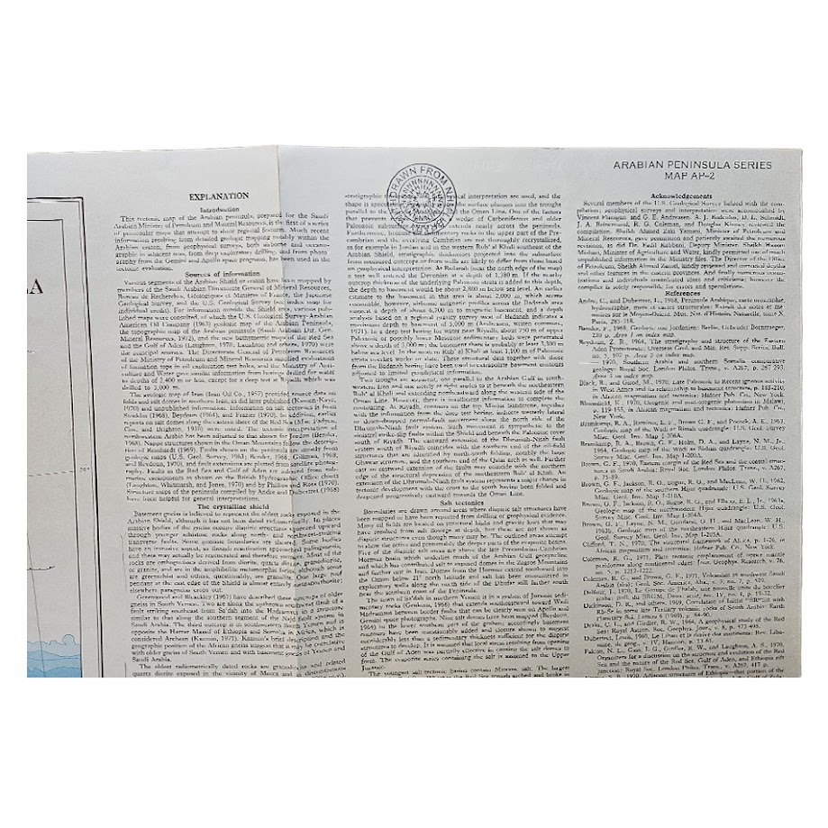
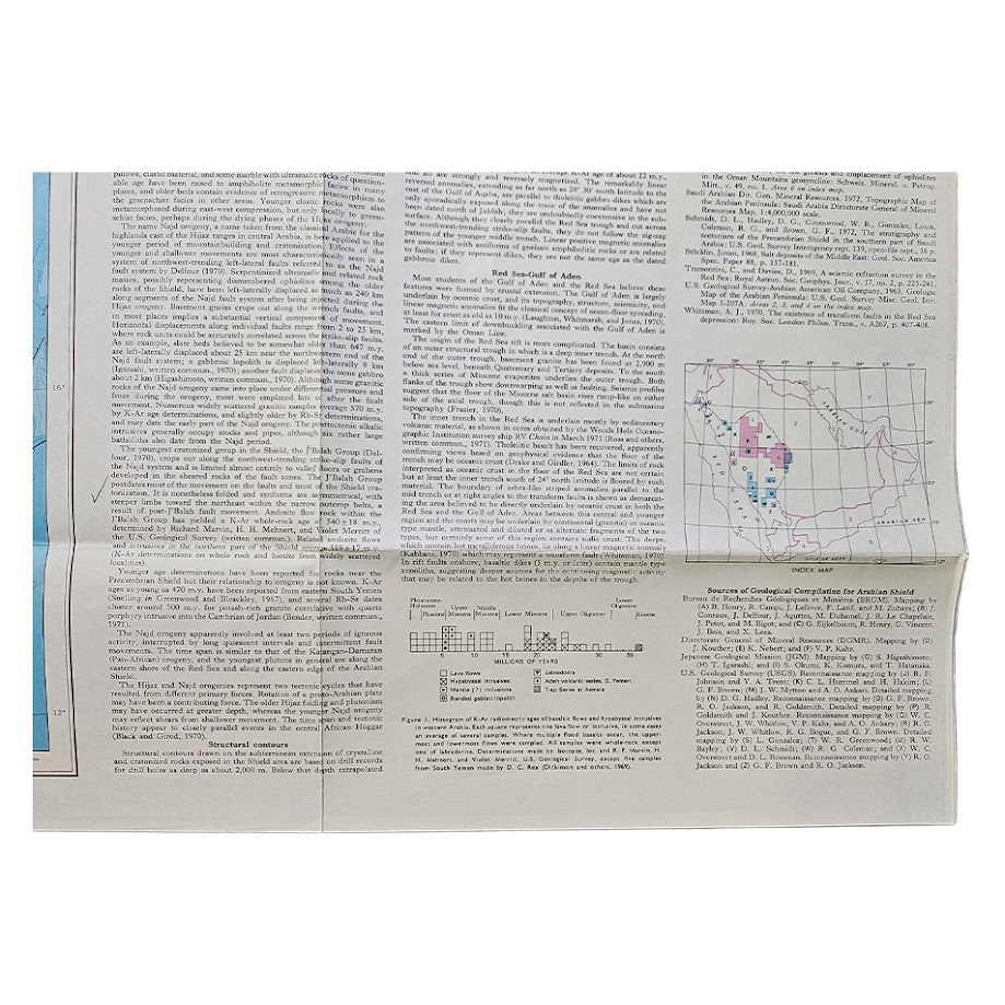
The extensive accompanying explanatory text printed to the right of the map discusses the sources used in compilation, basement geology, structural evolution of the Arabian Shield, the Red Sea and Gulf of Aden, fold and thrust systems, volcanic activity and regional tectonic history. A substantial bibliography records the scientific literature on which the map was based, while an index map and tectonic-history diagram further enhance its research value. The map is printed in English, with official Saudi governmental attribution.
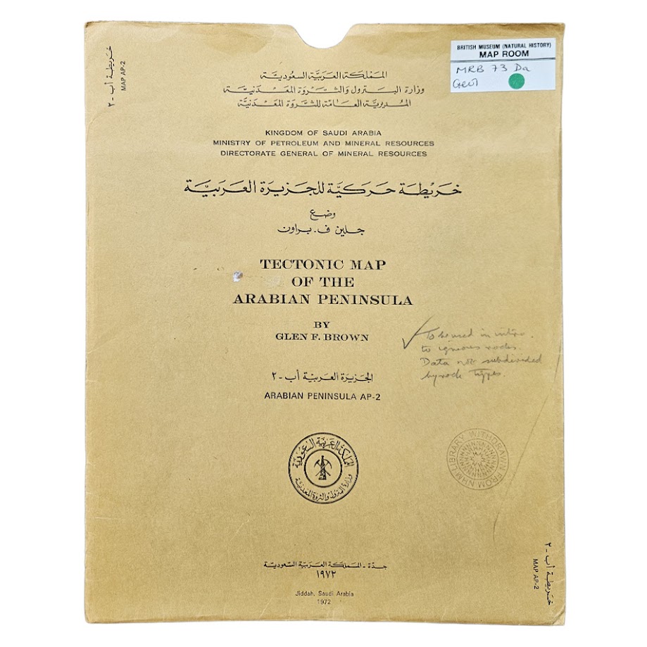
This particular example has especially good institutional provenance. It was presented to the Map Room of the British Museum (Natural History), now the Natural History Museum, and bears two neat institutional stamps on the map, including a presentation stamp dated 19 October 1992, together with a neat “withdrawn” stamp to the explanatory text. The original printed envelope is also present and carries the Natural History Museum Map Room label as well as further institutional marks. This provenance substantially enhances the documentary interest of the sheet, demonstrating its former place within one of Britain’s principal scientific reference collections.
A significant piece of twentieth-century Arabian cartography and geological science, combining scientific, petroleum, economic and geopolitical interest. It is particularly relevant to collectors and researchers of Saudi Arabia, the Arabian Peninsula, petroleum history, geology, plate tectonics, mineral exploration, the U.S. Geological Survey and the history of Anglo-American scientific collections.
Condition: Very good overall. Originally folded and consequently retaining the expected fold lines, with light handling and occasional minor creasing. Two neat British Museum (Natural History) / Natural History Museum Map Room stamps are present on the map and a neat “withdrawn” stamp appears within the explanatory text. Original envelope present with institutional labels, stamps and manuscript annotation. Colours remain strong and clear and the extensive geological and tectonic detail is exceptionally well preserved. Please see the photographs, which form part of the description.
Location: Map Drawer D. Separate sleeve. 004173.
SHOP WITH CONFIDENCE AT HORNSEYS
At Hornseys, we are dedicated to offering items that uphold the highest standards of quality and authenticity. Our collection of artwork is carefully curated to ensure that each item we offer is authentic, collated, and complete.
Here’s what sets us apart:
- Authenticity and Provenance: Each map is researched and verified for authenticity.
- Expert Curation: We wholly own all our artworks. We trust our taste and have invested heavily in it. We have confidence in all artwork that we offer for sale.
- Customer Satisfaction: We strive to provide an exceptional customer experience, from detailed descriptions and provenance to secure and prompt delivery of your purchase.
- Returns Policy: We offer an unconditional guarantee on every item. If, however, you wish to make a return, artworks may be sent back to us within fourteen days of receipt for whatever reason. We request that we are notified in advance if you wish to do so. They must be returned to us in the same condition as they were sent for a full refund.
OUR COMMITMENT TO QUALITY AND SERVICE
Understanding the value and rarity of these items, we ensure that every aspect of your purchase meets the highest standards of quality and service. This includes:
- Free Expedited, Tracked, and Insured Delivery within the UK: Ensuring that your artwork arrives safely and promptly.
- Fully-Insured Worldwide Delivery: Offering peace of mind for international collectors with reliable and secure shipping options.
EXPLORE OUR COLLECTION
Visit Hornseys today to explore our fine collection of maps and other artworks. Whether you are an avid collector or looking for a special gift, our selection offers something truly unique. Located since 1976 in Ripon in the picturesque Yorkshire Dales, we are recognized as a destination gallery for tastefully curated artwork, rare maps, design, and fine books.